
1935 Map of Hartford
USGS Topo · Published 1935About this map
The Pigeon River carves through the mountains of Cocke County in this 1935 Tennessee Valley Authority advance sheet, capturing a network of rural settlements just as the Great Smoky Mountains National Park was established. The topography is dominated by Stone Mountain and Green Mountain, where the Hall Top Fire Tower stands watch over the valley. Along the river, the town of Hartford serves as a hub with its own gaging station and Hartford Sch.
Find a feature on this map
62 named features on this map. Tap any name to fly to it.
Don’t see what you’re looking for? This feature index may not catch every label — zoom into the map to look around manually.
Map Details
Editions of this 1935 Hartford Map
This is the sole edition of this map. No revisions or reprints were ever made.
Other maps of this area

1893 · Mt Guyot
USGS Topo · 1:125,000

1912 · Mt Guyot
USGS Topo · 1:125,000

1935 · Newport
USGS Topo · 1:48,000

1935 · English Mountain
USGS Topo · 1:48,000

1935 · Neddy Mountain
USGS Topo · 1:24,000

1935 · Clevenger
USGS Topo · 1:24,000

1935 · Jones Cove
USGS Topo · 1:24,000
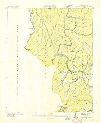
1936 · Cove Creek Gap
USGS Topo · 1:24,000
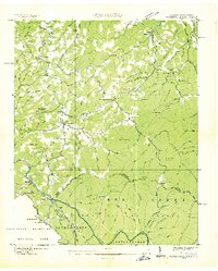
1936 · Waterville
USGS Topo · 1:24,000
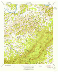
1939 · Clevenger
USGS Topo · 1:24,000