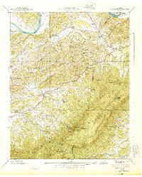
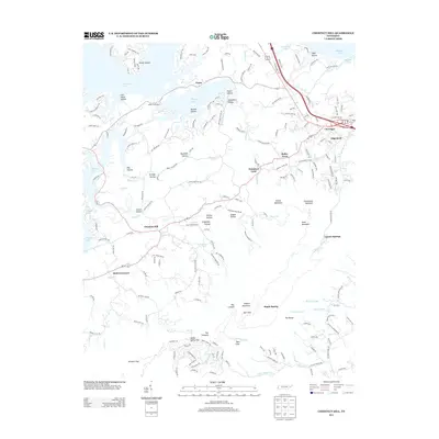
1935 Map of Clevenger
USGS Topo · Published 1935About this map
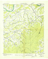
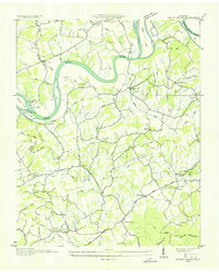
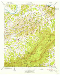
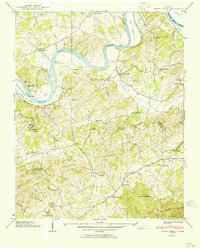
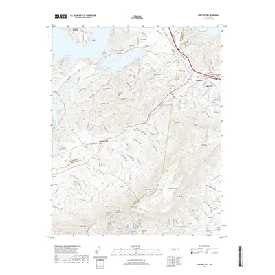
English Mountain dominates the southern landscape of this 1935 Tennessee Valley Authority and USGS collaboration, where the ridges of Sand Mountain and Rich Mountain meet. The area is defined by a rural network of small community centers like Clevenger and Bird Cross Roads, each supported by local institutions such as Briner Heights Sch and Birds Field Memorial Ch. Notable industrial and government activity is evident through the presence of CCC Camp No 1467 and the Blowing Cave Mill, the latter situated near the natural feature Blowing Cave.
Find a feature on this map
74 named features on this map. Tap any name to fly to it.
Don’t see what you’re looking for? This feature index may not catch every label — zoom into the map to look around manually.
Map Details
Editions of this 1935 Clevenger Map
This is the sole edition of this map. No revisions or reprints were ever made.
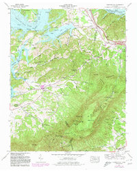
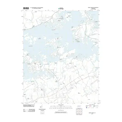
Historical Maps of Newport Through Time
18 maps found
1935 Clevenger
Jefferson County, TN
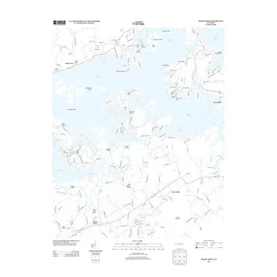
1935 Shady Grove
Jefferson County, TN

1935 Straw Plains
Jefferson County, TN
1939 Clevenger
Jefferson County, TN
1939 Shady Grove
Jefferson County, TN
1940 Clevenger
Jefferson County, TN
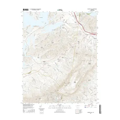
1961 Chestnut Hill
Jefferson County, TN
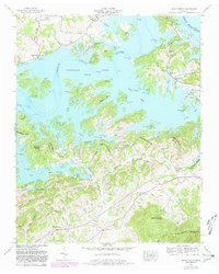
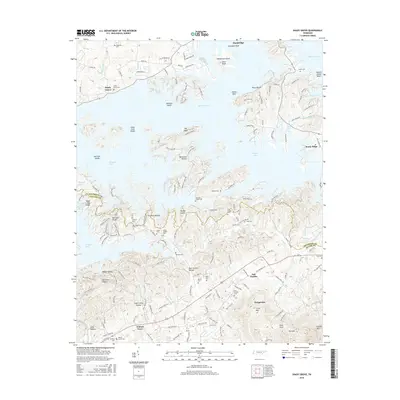
1961 Shady Grove
Jefferson County, TN

2010 Chestnut Hill
Jefferson County, TN
2010 Shady Grove
Jefferson County, TN
2013 Chestnut Hill
Jefferson County, TN
2013 Shady Grove
Jefferson County, TN
2016 Chestnut Hill
Jefferson County, TN
2016 Shady Grove
Jefferson County, TN
2019 Chestnut Hill
Jefferson County, TN
2019 Shady Grove
Jefferson County, TN
2022 Chestnut Hill
Jefferson County, TN
2022 Shady Grove
Jefferson County, TN