Old Maps of Copperfield, Nashville for Academic Research
Study the evolution of Copperfield with 23 high-resolution historic maps. Whether you're teaching, researching, or modeling changes in land use, these maps provide essential visual documentation of urban, environmental, and geographic change.
- Analyze long-term change: Track patterns in development, transportation, and natural features.
- Ideal for environmental or urban studies: Support academic projects with primary historical map data.
- Use in the classroom or lab: Educators and researchers rely on these maps to bring historical context to life.
These maps are a powerful tool for teaching, research, and visualizing how Copperfield has changed over the decades.
Copperfield, Nashville maps
(23)- 1903 Map of Nashville
 1903 Nashville1903 Print · USGSTennessee's capital region is captured at the dawn of the 1900s, when iron pikes and river locks dominated local commerce. Trace ancestral routes along Stewarts Ferry Pike, find rural landmarks like Curry Mill, or locate historical sites like The Hermitage.4 unique versions available
 - 1932 Map of Hermitage
 1932 Hermitage1932 Print · USGSGreater Nashville and its rural eastern reaches come alive in the early 1930s, documenting the river-bend communities and pike roads before modern sprawl. Genealogists can trace family roots through dozens of local landmarks like Woodbine P O, Clover Bottom, and the Andrew Jackson Sch.3 unique versions available
 - 1932 Map of Nashville
 1932 Nashville1932 Print · USGSNashville and its river bends are captured here in the early thirties, showing a city expanding toward suburbs like Belle Meade and Glendale Park. Genealogists can locate family landmarks like Loves Ch, Brentwood Sta, and numerous rural schools from Gower Sch to Ash Grove Sch.2 unique versions available
 - 1942 Map of Lebanon, 1944 Print
 1942 Lebanon1944 Print · USGSMiddle Tennessee at the start of the war years reveals a landscape of historic homesteads and burgeoning military infrastructure. Genealogists and historians can trace family locations near The Hermitage, follow the Tennessee Central rail lines, or locate the newly established Smyrna Air Base.
 - 1952 Map of Antioch, 1954 Print
 1952 Antioch1954 Print · USGSIn the early fifties, southeast Davidson County was a landscape of expanding rail hubs and rural crossroads. Researchers can trace the layout of Radnor yards, the original Nashville Municipal Airport (Berry Field), and community landmarks like Antioch and Whitsetts Cem.2 unique versions available
 - 1953 Map of Oak Hill, 1954 Print
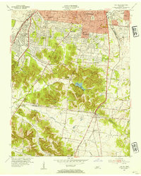 1953 Oak Hill1954 Print · USGSSouth of Nashville in the early fifties, this area shows a landscape of growing suburbs and institutional landmarks before the interstate era. Genealogists and historians can trace family locations near Woodlawn Cem, Robertson Academy, and Brentwood Sta.2 unique versions available
 - 1956 Map of Nashville, 1971 Print
 1956 Nashville1971 Print · USGSThe Tennessee-Kentucky borderlands come into focus in the mid-1960s as major reservoir projects transformed the Cumberland and Tennessee river valleys. Researchers can trace the rail networks of the Louisville and Nashville and visit sites like Fort Campbell and Fort Donelson National Military Park.2 unique versions available
 - 1959 Map of Nashville
 1959 Nashville1959 Print · USGSMiddle Tennessee and Southern Kentucky come into focus during the late fifties, showing the region's transition into a modern transportation and military hub. Researchers can trace the sprawling Fort Campbell Military Reservation or locate historic rail stops along the Tennessee Central Ry and Illinois Central RR.
 - 1968 Map of Oak Hill
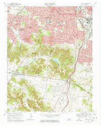 1968 Oak Hill1968 Print · USGSThe affluent suburbs and rugged ridges south of Nashville are captured here in the late sixties as residential growth moved toward the Williamson County line. Researchers can locate long-standing institutions like Harpeth Hall Sch, the Vanderbilt University Observatory, and historical routes like Granny White Pike.5 unique versions available
 - 1968 Map of Antioch, 1971 Print
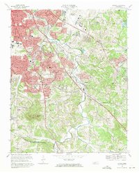 1968 Antioch1971 Print · USGSSoutheast Nashville and the Antioch area are captured here during a period of rapid mid-century growth as suburban neighborhoods began to climb the local ridges. Researchers can locate several family cemeteries and historic landmarks like Central State Hospital, Whitsett Cem, and the Antioch settlement.4 unique versions available
 - 1984 Map of Nashville, 1985 Print
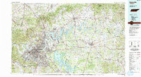 1984 Nashville1985 Print · USGSMiddle Tennessee in the mid-1980s reveals a region balancing urban expansion with its deep river-valley roots. Genealogists and historians can trace family locations near Old Hickory Lake, explore the grounds of Vanderbilt University, or locate ancestral sites like Greenwood Cem.
 - 1997 Map of Oak Hill, 2002 Print
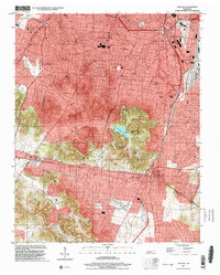 1997 Oak Hill2002 Print · USGSSouth of Nashville in the late nineties, these residential enclaves expanded toward the Williamson County line. Researchers can trace the development of Belle Meade and Oak Hill, or locate local landmarks like Radnor Lake and the Governors Mansion.
 - 1999 Map of Antioch, 2002 Print
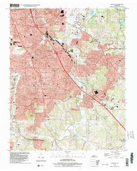 1999 Antioch2002 Print · USGSThe Antioch and south Nashville area comes into focus at the end of the millennium as suburban development spreads toward the Williamson County line. Trace family landmarks and community anchors from Whittset Cem to schools like Binkley Sch and Turner Sch.
 - 2010 Map of Oak Hill, 2010 Print
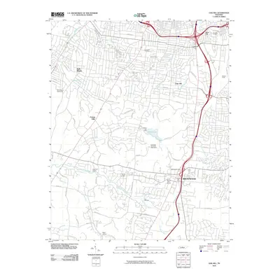 2010 Oak Hill2010 Print · USGSThe suburbs south of Nashville come into focus during the early twenty-first century as they span the wooded ridges and valleys. Researchers can locate family sites near Johnson Chapel Cemetery or trace the industrial footprint of Radnor Yards and Anderson Airport.
 - 2010 Map of Antioch, 2010 Print
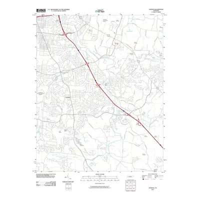 2010 Antioch2010 Print · USGSDavidson County in the early twenty-first century reflects a blend of massive aviation infrastructure and deep-rooted family history. Genealogists can trace local heritage through numerous burial sites like King Cemetery and Foster Owens Cemetery while navigating the corridors of Tusculum and Mill Creek.
 - 2013 Map of Antioch, 2013 Print
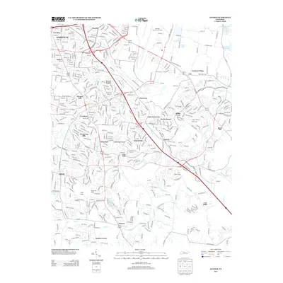 2013 Antioch2013 Print · USGSSoutheast Nashville and the surrounding Davidson County suburbs are captured here during a period of significant 21st-century growth. Genealogists and local historians can trace neighborhood developments from Radnor and Glencliff to the namesake community of Antioch and the ridges of Cane Ridge.
 - 2013 Map of Oak Hill, 2013 Print
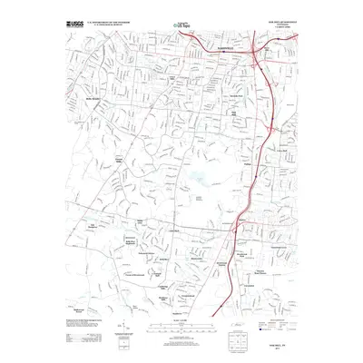 2013 Oak Hill2013 Print · USGSNashville and its southern suburban corridor are shown in high detail during the early twenty-first century. Genealogists and historians can trace neighborhood growth through Belle Meade, Glendale Park, and the rail infrastructure of Radnor Yards.
 - 2016 Map of Oak Hill, 2016 Print
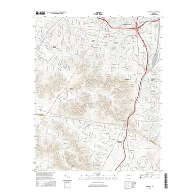 2016 Oak Hill2016 Print · USGSThe residential and natural landscapes south of Nashville are shown here during the mid-2010s as the suburbs reached toward the Williamson County line. Researchers can trace local landmarks like Lipscomb University, the historic Woodlawn Cemetery, and the protected waters of Radnor Lake.
 - 2016 Map of Antioch, 2016 Print
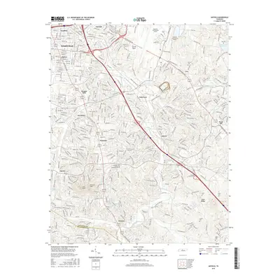 2016 Antioch2016 Print · USGSSoutheast Nashville and the Antioch area are shown here during a period of significant suburban growth. Genealogists and local historians can trace family burial sites like Whitsett Cem and Cane Ridge Cem or locate the sprawling Nashville International Airport.
 - 2019 Map of Oak Hill, 2019 Print
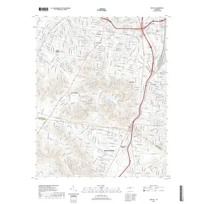 2019 Oak Hill2019 Print · USGSThe southern outskirts of Nashville are seen in the late 2010s as suburban growth reaches the Williamson County line. Researchers can trace the wooded ridges around Radnor Lake, locate the Johnson Chapel Cem, and follow the Little Harpeth River.
 - 2019 Map of Antioch, 2019 Print
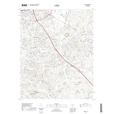 2019 Antioch2019 Print · USGSSoutheast Davidson County's evolution is on full display here as the suburbs of Nashville expand toward the Williamson County line. Genealogists and local historians can locate many family-named landmarks including Whitsett Cem, Wrencoe, and the Mill Creek Baptist Church.
 - 2022 Map of Antioch, 2022 Print
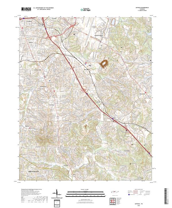 2022 Antioch2022 Print · USGSSoutheast of Nashville in the early twenty-first century, this area shows a dense mix of historical crossroads and modern suburban sprawl. Genealogists can trace family names at Whitsett Cem or Sanders Cem and locate landmarks like Mill Creek Baptist Church.
 - 2022 Map of Oak Hill, 2022 Print
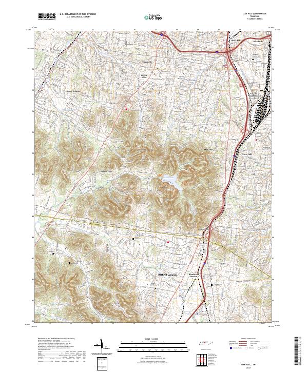 2022 Oak Hill2022 Print · USGSThe southern suburbs of Nashville and the city of Brentwood are shown here in the 2020s as modern development meets legacy landmarks. Researchers can trace historic sites like the Midway Plantation Slave Cem, Johnson Chapel Cem, and Lipscomb University.
End of results
Showing maps 1-23 of 23
Frequently asked questions
- What are the different types of historical maps available for Copperfield?
- What is the oldest map of Copperfield?
- Where can I purchase historical maps of Copperfield for my home or office?
- Where can I download high-res historical maps of Copperfield?
- Are there historical topographic maps available for Copperfield?
- Is there historical aerial imagery available for Copperfield?
- Where are historical maps of Copperfield sourced from?