Old Maps of Potatoe, Tennessee for Hiking & Exploration
Hike through history with 8 historic maps of Potatoe. Explore old trails, ghost towns, and forgotten backroads — perfect for outdoor adventurers and local explorers.
- Rediscover forgotten places: Map out old mining camps, roads, and footpaths that no longer exist on modern maps.
- Layer with modern tools: Combine with LiDAR or satellite views to plan hikes through historical terrain.
- Made for exploration: Popular among hikers, overlanders, and local history lovers.
Use these maps to find adventure and explore the hidden past of Potatoe.
Potatoe, TN maps
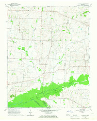
(8)- 1956 Map of Dyersburg, 1960 Print
 1956 Dyersburg1960 Print · USGSThe Four Rivers region comes alive in the mid-fifties, capturing the intricate borderlands of Tennessee, Kentucky, and Missouri. Genealogists and historians can trace the rail-and-river networks connecting Dyersburg, Caruthersville, and the shoreline of Reelfoot Lake.4 unique versions available
 - 1965 Map of Tatumville, 1967 Print
 1965 Tatumville1967 Print · USGSDyer and Gibson Counties are shown here during the mid-1960s, defined by the winding course of the Forked Deer River. Researchers can trace ancestral locations near Tatumville, Churchton, and Atkins Cem, or locate rural churches such as Mt Tirzah Ch.2 unique versions available
 - 1983 Map of Dyersburg
 1983 Dyersburg1983 Print · USGSSpanning the Mississippi River at the start of the 1980s, this area shows the vital river-and-rail connections between Tennessee and Missouri. Researchers can trace family sites at Mount Pisgah Cemetery or study the evolving shoreline near Caruthersville and Reelfoot Lake.
 - 2010 Map of Tatumville, 2010 Print
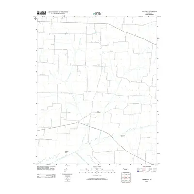 2010 Tatumville2010 Print · USGSCovers Potatoe, including Newbern, Yorkville, and other nearby areas
 - 2013 Map of Tatumville, 2013 Print
 2013 Tatumville2013 Print · USGSCovers Potatoe, including Newbern, Yorkville, and other nearby areas
 - 2016 Map of Tatumville, 2016 Print
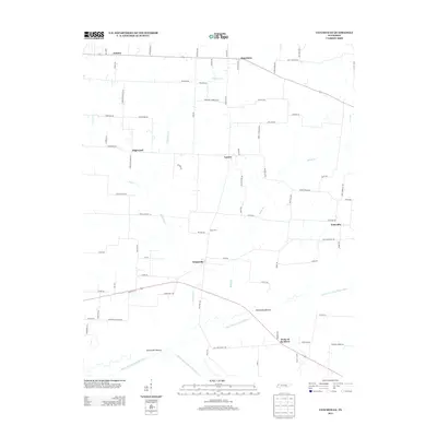
 2016 Tatumville2016 Print · USGSCovers Potatoe, including Newbern, Yorkville, and other nearby areas
 - 2019 Map of Tatumville, 2019 Print
 2019 Tatumville2019 Print · USGSCovers Potatoe, including Newbern, Yorkville, and other nearby areas
 - 2022 Map of Tatumville, 2022 Print
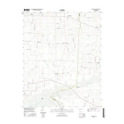
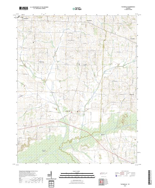 2022 Tatumville2022 Print · USGSWestern Tennessee’s agricultural heartland is captured here in the early twenty-first century, showing a landscape defined by river bottoms and rural crossroads. Local historians can trace family lines and old homesteads near Tatumville, Atkins Cem, and Macedonia Bottom.
End of results
Showing maps 1-8 of 8
Top cities near Potatoe
- Dyersburg historical maps
- Newbern historical maps
- Halls historical maps
- Troy historical maps
- Obion historical maps
- Friendship historical maps
See more
Frequently asked questions
- What are the different types of historical maps available for Potatoe?
- What is the oldest map of Potatoe?
- Where can I purchase historical maps of Potatoe for my home or office?
- Where can I download high-res historical maps of Potatoe?
- Are there historical topographic maps available for Potatoe?
- Is there historical aerial imagery available for Potatoe?
- Where are historical maps of Potatoe sourced from?