Old Maps of Templeton, Tennessee for Metal Detecting
Plan your next treasure hunt with 8 historic maps of Templeton. Find old homesites, ghost towns, trails, and gathering spots that may be lost to time — perfect for identifying promising metal detecting locations.
- Locate forgotten sites: Uncover places like long-lost settlements, abandoned rail lines, or gathering spots.
- Plan better hunts: Use map overlays combined with LiDAR or satellite views to narrow in on historically rich areas.
- Made for detectorists: Thousands of hobbyists use these maps to discover relics, coins, and hidden history.
Use these historic maps to boost your research and find new opportunities beneath the surface of Templeton.
Templeton, TN maps
(8)- 1956 Map of Dyersburg, 1960 Print
 1956 Dyersburg1960 Print · USGSThe Four Rivers region comes alive in the mid-fifties, capturing the intricate borderlands of Tennessee, Kentucky, and Missouri. Genealogists and historians can trace the rail-and-river networks connecting Dyersburg, Caruthersville, and the shoreline of Reelfoot Lake.4 unique versions available
 - 1965 Map of Trimble, 1967 Print
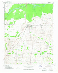 1965 Trimble1967 Print · USGSThe Dyer and Obion County line in the mid-1960s shows a landscape of river-bottom drainage and rail-side commerce. Genealogists can trace family names at Pierce Cem and McCorkle Cem or locate rural centers like Harmony Ch and Templeton.2 unique versions available
 - 1983 Map of Dyersburg
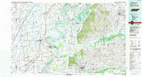 1983 Dyersburg1983 Print · USGSSpanning the Mississippi River at the start of the 1980s, this area shows the vital river-and-rail connections between Tennessee and Missouri. Researchers can trace family sites at Mount Pisgah Cemetery or study the evolving shoreline near Caruthersville and Reelfoot Lake.
 - 2010 Map of Trimble, 2010 Print
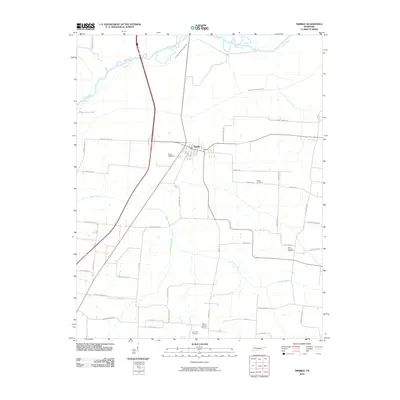 2010 Trimble2010 Print · USGSThe Northwest Tennessee landscape near the start of the new millennium is defined here by the town of Trimble and the managed waters of the Obion River. Genealogists can locate several local landmarks, including Pierce Cemetery, Cool Springs Cemetery, and McCorkle Cemetery.
 - 2013 Map of Trimble, 2013 Print
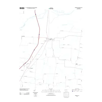 2013 Trimble2013 Print · USGSThe Dyer County countryside near the Obion River comes into focus in this early 21st-century record of rural West Tennessee. Researchers can trace land patterns and local roads connecting Trimble, Templeton, and the waters of the Old Obion River Drainage Canal.
 - 2016 Map of Trimble, 2016 Print
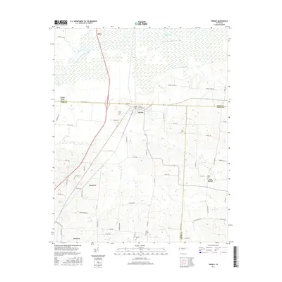 2016 Trimble2016 Print · USGSDyer and Obion counties are captured here in the mid-2010s, showcasing the agricultural landscape near the tri-county corner. Genealogists can trace family footprints through sites like Pierce Cem and Cool Springs Cem or the rural roads of Trimble.
 - 2019 Map of Trimble, 2019 Print
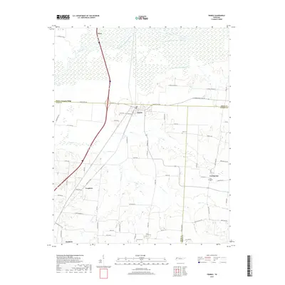 2019 Trimble2019 Print · USGSThe West Tennessee bottomlands near the Obion River come to life in this recent study of Dyer and Obion Counties. Genealogists and local historians can pinpoint family burial sites like Mount Carmel Cem and Pierce Cem or trace old routes like Sharpes Ferry Rd.
 - 2022 Map of Trimble, 2022 Print
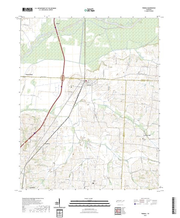 2022 Trimble2022 Print · USGSWest Tennessee’s river bottomlands and rural crossroads are meticulously documented in this recent survey. Genealogists and local historians can trace family-named landmarks and old burial grounds like Jones Cem and Cool Springs Cem near the Obion River.
End of results
Showing maps 1-8 of 8
Top cities near Templeton
- Dyersburg historical maps
- Tiptonville historical maps
- Newbern historical maps
- Dyer historical maps
- Troy historical maps
- Rutherford historical maps
See more
Frequently asked questions
- What are the different types of historical maps available for Templeton?
- What is the oldest map of Templeton?
- Where can I purchase historical maps of Templeton for my home or office?
- Where can I download high-res historical maps of Templeton?
- Are there historical topographic maps available for Templeton?
- Is there historical aerial imagery available for Templeton?
- Where are historical maps of Templeton sourced from?