Old Maps of Brown Mill, Tennessee for Academic Research
Study the evolution of Brown Mill with 9 high-resolution historic maps. Whether you're teaching, researching, or modeling changes in land use, these maps provide essential visual documentation of urban, environmental, and geographic change.
- Analyze long-term change: Track patterns in development, transportation, and natural features.
- Ideal for environmental or urban studies: Support academic projects with primary historical map data.
- Use in the classroom or lab: Educators and researchers rely on these maps to bring historical context to life.
These maps are a powerful tool for teaching, research, and visualizing how Brown Mill has changed over the decades.
Brown Mill, TN maps
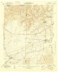
(9)- 1936 Map of Huntland
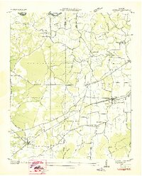 1936 Huntland1936 Print · USGSFranklin County's rail-and-mill economy is on full display in the mid-thirties as the Nashville Chattanooga and St Louis Ry connects Huntland and Elora. Researchers can trace the heritage of rural communities through sites like Stonewall Mill, Simmons Chapel, and the Mc Clure Cem.
 - 1947 Map of Huntland, 1948 Print
 1947 Huntland1948 Print · USGSFranklin and Lincoln County life in the late 1940s centers on the rail corridor and river bends south of the Elk River. Local historians can trace family roots through sites like Falls Mill, Simmons Chapel, and numerous family burial grounds including Mc Clure Cem.4 unique versions available
 - 1956 Map of Columbia, 1960 Print
 1956 Columbia1960 Print · USGSMiddle Tennessee in the mid-fifties presents a landscape of established river towns and critical rail hubs before the arrival of the modern interstate system. Researchers can trace the routes of the Louisville and Nashville railroad or locate historic landmarks like Stones River National Military Park and the Tennessee National Wildlife Refuge.6 unique versions available
 - 1981 Map of Tullahoma, 1982 Print
 1981 Tullahoma1982 Print · USGSSouthern Tennessee enters the 1980s with a mix of aerospace technology and deep rural roots. Researchers can trace the L & N RR through Shelbyville and Fayetteville or locate family sites like Old Salem Cem and Blanton Chapel near the Cumberland Plateau.
 - 2010 Map of Huntland, 2010 Print
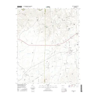
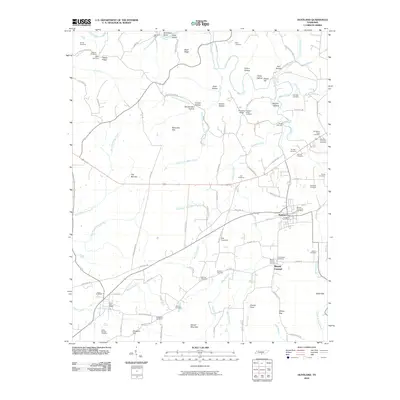 2010 Huntland2010 Print · USGSCovers Brown Mill, including Huntland, Mount Carmel, and other nearby areas
 - 2013 Map of Huntland, 2013 Print
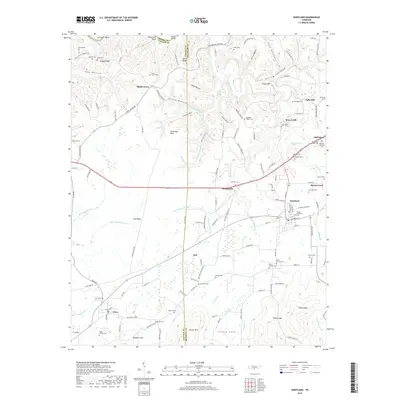
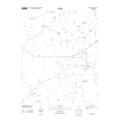 2013 Huntland2013 Print · USGSCovers Brown Mill, including Huntland, Mount Carmel, and other nearby areas
 - 2016 Map of Huntland, 2016 Print
 2016 Huntland2016 Print · USGSCovers Brown Mill, including Huntland, Mount Carmel, and other nearby areas
 - 2019 Map of Huntland, 2019 Print
 2019 Huntland2019 Print · USGSCovers Brown Mill, including Huntland, Mount Carmel, and other nearby areas
 - 2022 Map of Huntland, 2022 Print
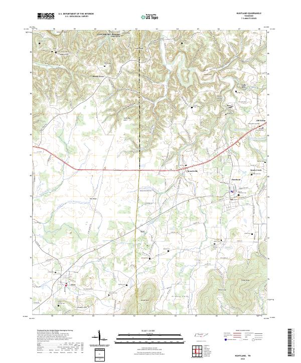 2022 Huntland2022 Print · USGSThe Tennessee borderlands near Huntland and Elora come alive in this 2022 survey of the Lincoln and Franklin County line. Researchers can trace ancestral roots through dozens of family burial grounds and historical sites like Falls Mill and Old Salem.
End of results
Showing maps 1-9 of 9
Top cities near Brown Mill
- Huntsville historical maps
- Winchester historical maps
- Estill Springs historical maps
- Decherd historical maps
- Cowan historical maps
- New Market historical maps
See more
Frequently asked questions
- What are the different types of historical maps available for Brown Mill?
- What is the oldest map of Brown Mill?
- Where can I purchase historical maps of Brown Mill for my home or office?
- Where can I download high-res historical maps of Brown Mill?
- Are there historical topographic maps available for Brown Mill?
- Is there historical aerial imagery available for Brown Mill?
- Where are historical maps of Brown Mill sourced from?