Old Maps of Gibson, Tennessee for Genealogy
Trace your family roots with 15 historic maps of Gibson. These high-res maps reveal old neighborhoods, homesites, landmarks, and streets — helping you uncover where your ancestors lived and how the area evolved over time.
- Explore historic neighborhoods: Identify where your relatives may have lived in the 1800s or 1900s.
- Compare maps over time: Trace the changes in streets, buildings, and landmarks for multi-generational research.
- Perfect for genealogy & ancestry research: Used by family historians and researchers to map out lineage and migration.
These maps are an incredible resource for exploring your personal connection to Gibson's past.
Gibson, TN maps
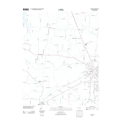
(15)- 1952 Map of Milan, 1953 Print
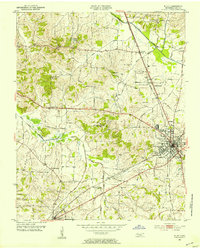 1952 Milan1953 Print · USGSMid-century Gibson County centers on the thriving rail junction at Milan and its surrounding farmsteads. Genealogists can trace the rural communities of Cades and Concord, locating old family-named landmarks like Martin Cem and the County Training Sch.3 unique versions available
 - 1956 Map of Blytheville, 1964 Print
 1956 Blytheville1964 Print · USGSWest Tennessee and the Arkansas Delta come alive in this mid-century survey of the river-and-rail corridor connecting Memphis to Jackson. Genealogists and historians can trace the rail lines of the Louisville and Nashville RR and locate landmarks like Western State Hospital or Fort Pillow State Prison Farm.2 unique versions available
 - 1959 Map of Medina
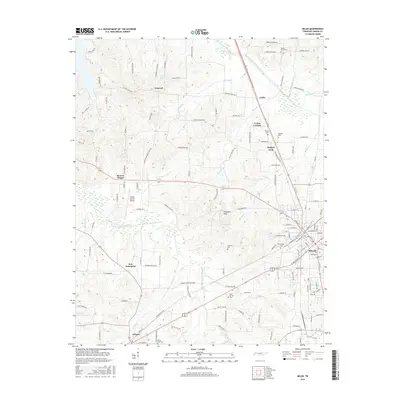
 1959 Medina1959 Print · USGSWest Tennessee’s rail-and-river landscape comes alive in the late fifties as three major railroads cross the Gibson and Madison county lines. Researchers can trace the vanished footprints of Fly Sch, explore the community around Bakers Chapel, and locate family plots at White Rose Cem.4 unique versions available
 - 1959 Map of Blytheville
 1959 Blytheville1959 Print · USGSWest Tennessee and Northeast Arkansas meet along the river in the late fifties, during a period of steady industrial and agricultural growth. Genealogists can trace the rail corridors of the Illinois Central through Jackson or explore landmarks like Shiloh National Military Park and Fort Pillow State Prison.
 - 1986 Map of Milan
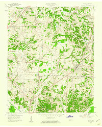
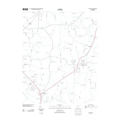
 1986 Milan1986 Print · USGSWest Tennessee in the mid-eighties shows a landscape defined by industrial military sites and expansive state forests. Trace the rail lines of the Seaboard System RR, locate the Milan Arsenal, or explore the protected lands of Natchez Trace State Forest.2 unique versions available
 - 2010 Map of Medina, 2010 Print
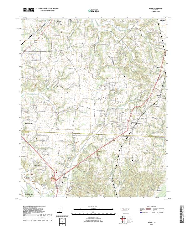
 2010 Medina2010 Print · USGSCovers Gibson, including Jackson, Humboldt, and other nearby areas
 - 2010 Map of Milan, 2010 Print
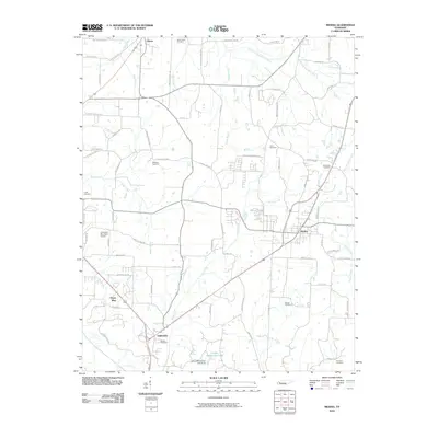
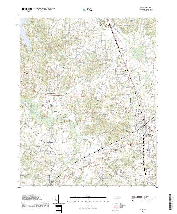
 2010 Milan2010 Print · USGSCovers Gibson, including Concord, Hughes Loop, and other nearby areas
 - 2013 Map of Milan, 2013 Print
 2013 Milan2013 Print · USGSCovers Gibson, including Concord, Hughes Loop, and other nearby areas
 - 2013 Map of Medina, 2013 Print
 2013 Medina2013 Print · USGSCovers Gibson, including Jackson, Humboldt, and other nearby areas
 - 2016 Map of Medina, 2016 Print
 2016 Medina2016 Print · USGSCovers Gibson, including Jackson, Humboldt, and other nearby areas
 - 2016 Map of Milan, 2016 Print
 2016 Milan2016 Print · USGSCovers Gibson, including Concord, Hughes Loop, and other nearby areas
 - 2019 Map of Medina, 2019 Print
 2019 Medina2019 Print · USGSCovers Gibson, including Jackson, Humboldt, and other nearby areas
 - 2019 Map of Milan, 2019 Print
 2019 Milan2019 Print · USGSCovers Gibson, including Concord, Hughes Loop, and other nearby areas
 - 2022 Map of Medina, 2022 Print
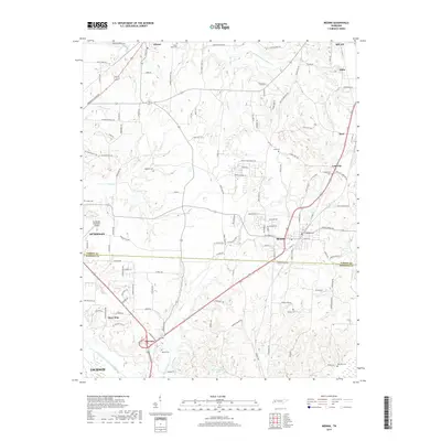
 2022 Medina2022 Print · USGSMedina and the Gibson-Madison county line are shown here in the early 2020s amidst a landscape of winding creeks and rural crossroads. Researchers can locate several burial sites including White Rose Cem and Woods Cem, or trace the corridors between Goat City and Three Way.
 - 2022 Map of Milan, 2022 Print
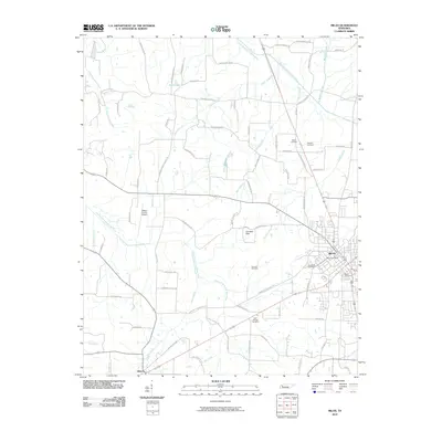
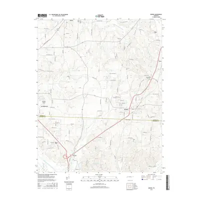
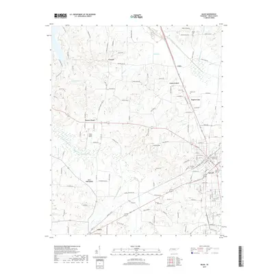
 2022 Milan2022 Print · USGSGibson County's agricultural heartland is documented here in the early twenty-first century, centered on the growing hubs of Milan and Gibson. Researchers can trace family history through several rural burial sites, including Martin Cem, Hughes Cem, and Bluff Springs Cem.
End of results
Showing maps 1-15 of 15
Top cities near Gibson
- Jackson historical maps
- Humboldt historical maps
- Trenton historical maps
- Dyer historical maps
- Bells historical maps
- Medina historical maps
See more
Frequently asked questions
- What are the different types of historical maps available for Gibson?
- What is the oldest map of Gibson?
- Where can I purchase historical maps of Gibson for my home or office?
- Where can I download high-res historical maps of Gibson?
- Are there historical topographic maps available for Gibson?
- Is there historical aerial imagery available for Gibson?
- Where are historical maps of Gibson sourced from?