Old Maps of East Tennessee Valley Industrial District, Tennessee
Explore 28 old maps of East Tennessee Valley Industrial District, spanning from 1883 to today. These high-resolution historic maps reveal how streets, neighborhoods, landmarks, and natural features evolved over time — perfect for genealogy, metal detecting, research, and local history exploration.
What you can do with these maps:
- See how East Tennessee Valley Industrial District changed over time: Compare historical maps to modern-day views to trace roads, homesites, rail lines & more.
- View detailed metadata: Each map includes creators, publishers, year, scale, and archive source.
- Overlay maps with satellite & LiDAR: Visualize the past alongside modern tools to explore terrain & human change.
- Trusted historical sources: Maps sourced from the USGS, Library of Congress, and other archives.
- Access maps your way: View online, download high-res files, or order prints for personal or research use.
Start exploring old maps of East Tennessee Valley Industrial District to uncover forgotten places, hidden landmarks, and the deep history beneath your feet.
East Tennessee Valley Industrial District, TN maps
(28)- 1883 Map of Morristown
 1883 Morristown1883 Print · USGSEast Tennessee in the 1880s is defined by the convergence of mountain ridges and the vital rail corridor through Morristown. Researchers can trace the early industrial landscape of the region through landmarks like Witt's Foundry, Tate's Springs, and the historic Bean's Station.
 - 1893 Map of Morristown
 1893 Morristown1893 Print · USGSEast Tennessee in the 1890s was a landscape of deep mountain ridges and vital rail junctions centered around Morristown. Researchers can trace the nineteenth-century river economy through numerous crossings like Cloud Ferry and find early industry at Lotspeachy Mill.
 - 1895 Map of Morristown
 1895 Morristown1895 Print · USGSThe East Tennessee ridge-and-valley country comes alive in the late nineteenth century as a hub of rail and river transit. Trace the routes of old Evans Ferry or locate vanished stops along the Southern R.R. near Morristown and Bull Gap.5 unique versions available
 - 1935 Map of Rogersville
 1935 Rogersville1935 Print · USGSHawkins and Greene Counties come alive in the mid-1930s, showing a landscape of ridge-top schools and river-bottom farms. Genealogists can trace family footprints near Pressmans Home, Bulls Gap, and local centers like Macedonia Ch.
 - 1935 Map of Springvale
 1935 Springvale1935 Print · USGSIn the mid-thirties, the Nolichucky River valley supported a vibrant network of rural communities at the junction of three Tennessee counties. Genealogists and historians can trace family locations through numerous landmarks like Bethesda Ch, Silver City, and river crossings such as Inman Ford.
 - 1935 Map of Russellville
 1935 Russellville1935 Print · USGSThe Holston River valley in the mid-1930s reveals a landscape of river ferries, mineral springs, and rail-side towns. Genealogists and local historians can trace the foundations of Russellville, Whitesburg, and Mooresburg, along with rural landmarks like Kings Mill and Bright Ferry.
 - 1935 Map of Small
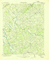 1935 Small1935 Print · USGSEast Tennessee river life in the mid-1930s centered on the fertile valley between the Bays Mountains and the French Broad River. Researchers can trace ancestral locations at Mohawk, Parrottsville, and dozens of rural sites like Alshieys Mill or Bethesda Ch.
 - 1939 Map of Springvale
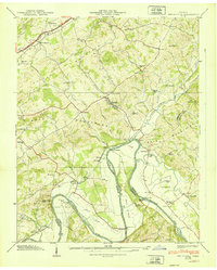 1939 Springvale1939 Print · USGSHamblen and Cocke counties meet along the Nolichucky River during the late thirties, when rural life centered on river fords and small mountain gaps. Genealogists can locate family landmarks like Bethesda Ch, the Creek Store, and Scoot Mill.2 unique versions available
 - 1939 Map of Russellville, 1958 Print
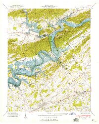 1939 Russellville1958 Print · USGSThe Tennessee Valley underwent a transformation in the late thirties as the rising Lake Cherokee met the Holston River. Genealogists and historians can trace family burial grounds like Hyatt Cem or locate community hubs such as Cain Mill and Bright Ferry.
 - 1940 Map of Russellville
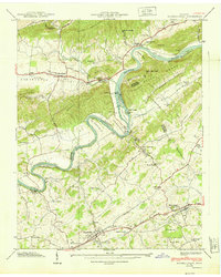 1940 Russellville1940 Print · USGSHamblen and Hawkins Counties come alive in this pre-war survey of the Holston River valley. Genealogists and historians can trace the foundations of Russellville and Whitesburg, locating family-named sites like Hyatt Cem and the Cain Mill.
 - 1955 Map of Johnson City
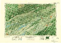 1955 Johnson City1955 Print · USGSEast Tennessee and the bordering highlands of Virginia and Kentucky appear here during the post-war industrial boom. You can trace the complex network of mountain ridges and new TVA lakes, from Johnson City to the coalfields near Middlesboro and Lynch.
 - 1957 Map of Johnson City, 1966 Print
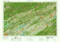 1957 Johnson City1966 Print · USGSUpper East Tennessee and Southwest Virginia are shown here during the mid-sixties transition of the Appalachians. Researchers can trace the industrial rail hubs of Kingsport, the sprawling waters of Cherokee Lake, and the historic Cumberland Gap.
 - 1960 Map of Johnson City
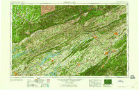 1960 Johnson City1960 Print · USGSUpper East Tennessee and the surrounding tri-state area are shown in the mid-fifties during the height of the TVA reservoir era. Trace the industrial rail lines of the Southern and Louisville and Nashville between Kingsport and Johnson City.
 - 1961 Map of Russellville, 1962 Print
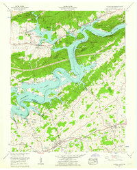 1961 Russellville1962 Print · USGSNortheastern Tennessee's river valleys and ridges are captured here in the early sixties as the sprawling waters of Cherokee Lake reshaped the landscape. Researchers can locate historic sites like Cain Mill, the Southern Railroad line through Whitesburg, and numerous family plots including Gladson Cem and Hyatt Cem.3 unique versions available
 - 1961 Map of Springvale, 1963 Print
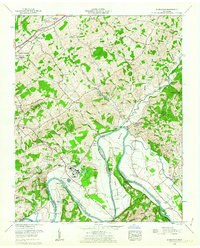 1961 Springvale1963 Print · USGSThe Nolichucky River valley in the early sixties shows a landscape of rising industry and deep-rooted settlements. Genealogists can trace family landmarks like Inman Cem, St Paul Church, and the old works at Scoot Mill.2 unique versions available
 - 1963 Map of Johnson City
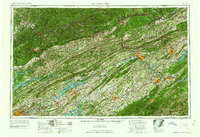 1963 Johnson City1963 Print · USGSThe Tri-Cities and the surrounding Appalachian ridges are shown in detail during the early sixties, highlighting the era's vital rail and river networks. Genealogists and historians can trace the routes of the Clinchfield RR and locate settlements from Rogersville to Elizabethton.
 - 1980 Map of Springvale, 1981 Print
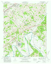 1980 Springvale1981 Print · USGSHamblen and Greene counties are shown during a period of transition in the early eighties as industrial growth met traditional river life. Trace family history through numerous small burial grounds like Heath Cem and Luster Cem, or locate landmarks like the Morristown State Fish Hatchery.
 - 1981 Map of Morristown
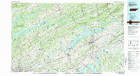 1981 Morristown1981 Print · USGSEast Tennessee's ridge-and-valley corridor is captured here in the early eighties, showing the region's transformation by TVA reservoirs. Genealogists and historians can trace family locations near Alpha Ch, follow the Southern Railway, or locate the Young Mine.
 - 2010 Map of Russellville, 2010 Print
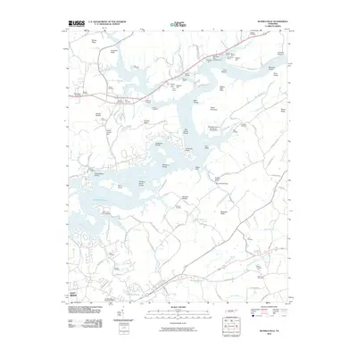 2010 Russellville2010 Print · USGSHamblen County's river-carved landscape is shown here in the early twenty-first century, featuring the expansive waters of Cherokee Lake. Genealogists can locate numerous family burial sites such as Williams Cemetery and Bent Creek Cemetery among the ridges.
 - 2011 Map of Springvale, 2011 Print
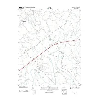 2011 Springvale2011 Print · USGSHamblen County's river-fed valley comes into focus in this early twenty-first-century survey south of Morristown. Genealogists and historians can locate numerous family burial sites like Talley Cemetery and trace river landmarks such as Inman Ford or Johnson Island.
 - 2013 Map of Russellville, 2013 Print
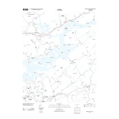 2013 Russellville2013 Print · USGSHamblen and Hawkins counties are shown in detail during the early twenty-first century as suburban growth extends into the Tennessee Valley. Researchers can locate numerous family burial sites like Bassett Cem and Lane Cem, or trace the old paths through Lee Valley and Grassy Valley.
 - 2013 Map of Springvale, 2013 Print
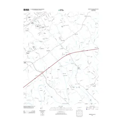 2013 Springvale2013 Print · USGSEast of Morristown in the early twenty-first century, the river valley reveals a network of long-established family homesteads and local trade centers. Genealogists can locate numerous burial sites like Bethesda Cem and trace historic river crossings at Inman Ford or Scoot Mill.
 - 2016 Map of Springvale, 2016 Print
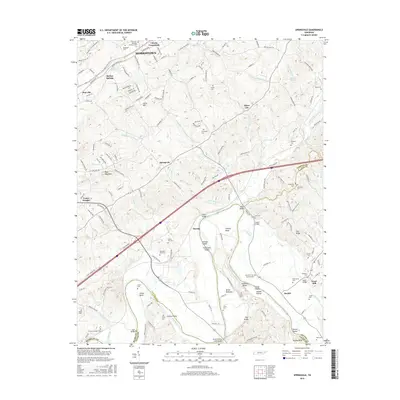 2016 Springvale2016 Print · USGSThe rural landscape east of Morristown was deeply rooted in its river and ridge geography during this era. Genealogists and local historians can trace family ties through over a dozen cemeteries, including Inman Cem, while locating landmarks like Scoot Mill and the Susong Bridge.
 - 2016 Map of Russellville, 2016 Print
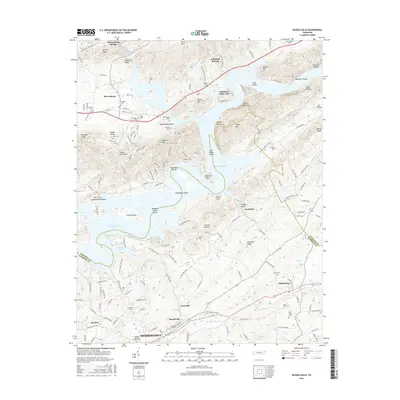 2016 Russellville2016 Print · USGSEast Tennessee's river valleys and ridgelines are shown here during the mid-2010s as Cherokee Lake winds through the border of Hawkins and Hamblen counties. Genealogists can locate numerous burial sites like Bent Creek Cem and Lane Cem, or trace the legacy of Cain Mill.
 - 2019 Map of Springvale, 2019 Print
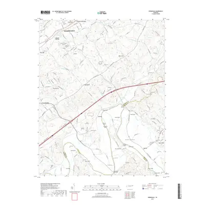 2019 Springvale2019 Print · USGSHamblen and Greene Counties meet along the winding Nolichucky River in the late 2010s. Local historians and genealogists can trace family heritage through sites like Scoot Mill, Bethesda Cem, and the historic Cheeks Crossroads.
Showing maps 1-25 of 28
Frequently asked questions
- What are the different types of historical maps available for East Tennessee Valley Industrial District?
- What is the oldest map of East Tennessee Valley Industrial District?
- Where can I purchase historical maps of East Tennessee Valley Industrial District for my home or office?
- Where can I download high-res historical maps of East Tennessee Valley Industrial District?
- Are there historical topographic maps available for East Tennessee Valley Industrial District?
- Is there historical aerial imagery available for East Tennessee Valley Industrial District?
- Where are historical maps of East Tennessee Valley Industrial District sourced from?