2000s (21st Century) Maps of Morristown, Tennessee
Explore 25 historic maps of Morristown from the 2000s (21st Century). These maps offer a rare glimpse into what life looked like during the 2000s — showing old roads, neighborhoods, homes, and landmarks that have changed or disappeared over time.
Whether you're researching your family's past, planning a metal detecting trip, or studying how Morristown's landscape evolved across the 2000s, these high-resolution maps are a powerful tool for exploring the history of this region.
- Focus on a specific era: All maps on this page are from the 2000s, giving you a focused view of this time period.
- See what’s changed: Compare century-old streets, trails, and buildings to today's modern landscape using overlays and satellite layers.
- Research with precision: Use these maps for genealogy, historical research, land use analysis, or educational projects.
- View, download, or print: Maps are fully viewable online in high resolution, and can be downloaded or printed for your own records.
Start exploring Morristown's history through authentic maps from the 2000s. This is your window into the past.
Morristown, TN maps
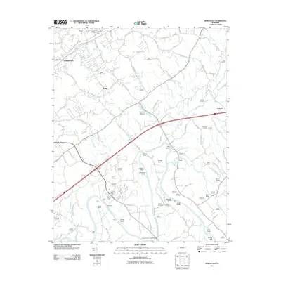
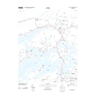
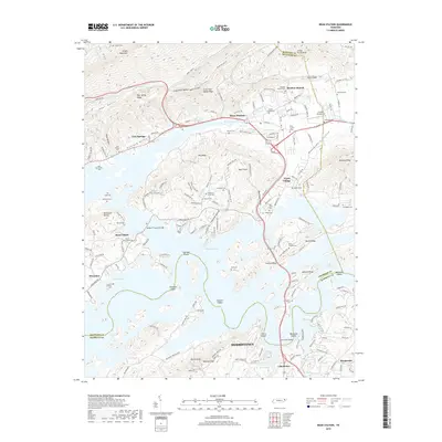
(25)- 2010 Map of Bean Station, 2010 Print
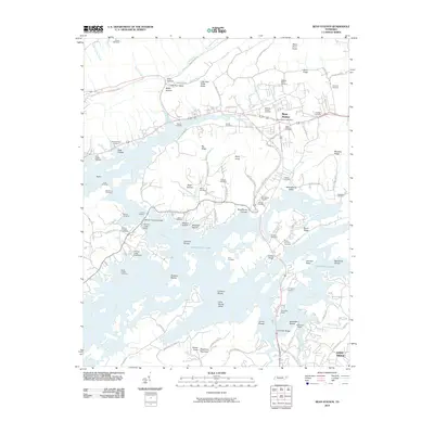 2010 Bean Station2010 Print · USGSCovers Morristown, including Bean Station, Lakewood Estates, and other nearby areas
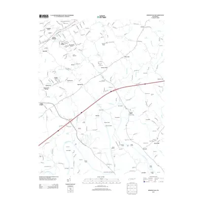
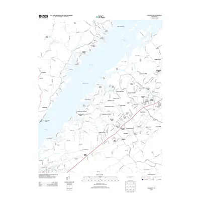
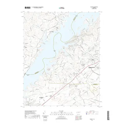
 - 2010 Map of Talbott, 2010 Print
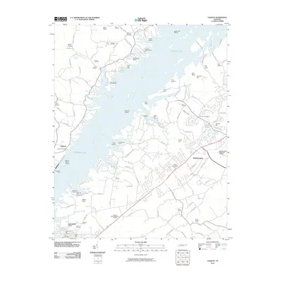 2010 Talbott2010 Print · USGSCovers Morristown, including Jefferson City, Withers Subdivision, and other nearby areas
 - 2010 Map of Morristown, 2010 Print
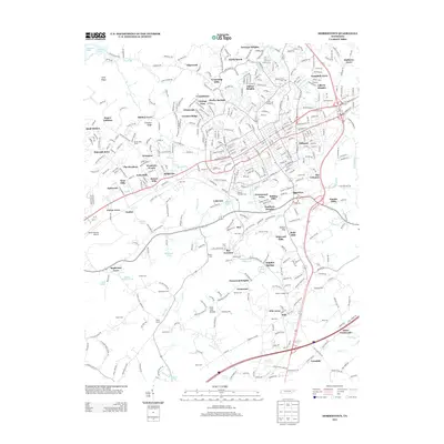
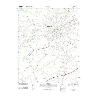 2010 Morristown2010 Print · USGSCovers Morristown, including White Pine, Eureka Hills, and other nearby areas
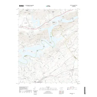
 - 2010 Map of Russellville, 2010 Print
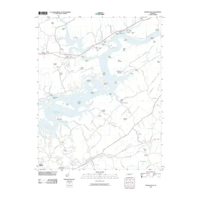 2010 Russellville2010 Print · USGSCovers Morristown, including Mooresburg, Jaybird, and other nearby areas
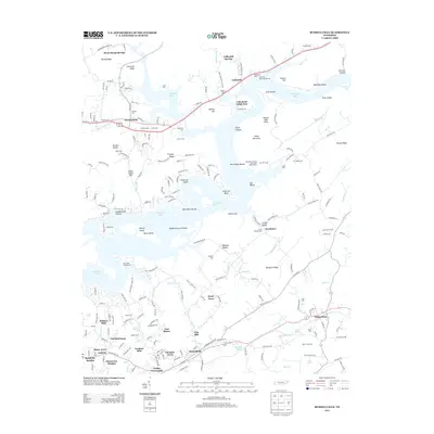
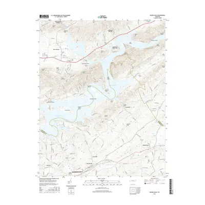
 - 2011 Map of Springvale, 2011 Print
 2011 Springvale2011 Print · USGSCovers Morristown, including Nenny, Springvale, and other nearby areas
 - 2013 Map of Morristown, 2013 Print
 2013 Morristown2013 Print · USGSCovers Morristown, including White Pine, Eureka Hills, and other nearby areas
 - 2013 Map of Russellville, 2013 Print
 2013 Russellville2013 Print · USGSCovers Morristown, including Mooresburg, Jaybird, and other nearby areas
 - 2013 Map of Springvale, 2013 Print
 2013 Springvale2013 Print · USGSCovers Morristown, including Nenny, Springvale, and other nearby areas
 - 2013 Map of Bean Station, 2013 Print
 2013 Bean Station2013 Print · USGSCovers Morristown, including Bean Station, Lakewood Estates, and other nearby areas
 - 2013 Map of Talbott, 2013 Print
 2013 Talbott2013 Print · USGSCovers Morristown, including Jefferson City, Withers Subdivision, and other nearby areas
 - 2016 Map of Talbott, 2016 Print
 2016 Talbott2016 Print · USGSCovers Morristown, including Jefferson City, Withers Subdivision, and other nearby areas
 - 2016 Map of Morristown, 2016 Print
 2016 Morristown2016 Print · USGSCovers Morristown, including White Pine, Eureka Hills, and other nearby areas
 - 2016 Map of Springvale, 2016 Print
 2016 Springvale2016 Print · USGSCovers Morristown, including Nenny, Springvale, and other nearby areas
 - 2016 Map of Bean Station, 2016 Print
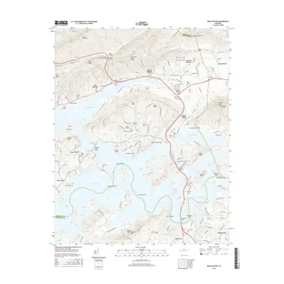 2016 Bean Station2016 Print · USGSCovers Morristown, including Bean Station, Lakewood Estates, and other nearby areas
 - 2016 Map of Russellville, 2016 Print
 2016 Russellville2016 Print · USGSCovers Morristown, including Mooresburg, Jaybird, and other nearby areas
 - 2019 Map of Morristown, 2019 Print
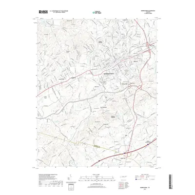 2019 Morristown2019 Print · USGSCovers Morristown, including White Pine, Eureka Hills, and other nearby areas
 - 2019 Map of Springvale, 2019 Print
 2019 Springvale2019 Print · USGSCovers Morristown, including Nenny, Springvale, and other nearby areas
 - 2019 Map of Bean Station, 2019 Print
 2019 Bean Station2019 Print · USGSCovers Morristown, including Bean Station, Lakewood Estates, and other nearby areas
 - 2019 Map of Talbott, 2019 Print
 2019 Talbott2019 Print · USGSCovers Morristown, including Jefferson City, Withers Subdivision, and other nearby areas
 - 2019 Map of Russellville, 2019 Print
 2019 Russellville2019 Print · USGSCovers Morristown, including Mooresburg, Jaybird, and other nearby areas
 - 2022 Map of Morristown, 2022 Print
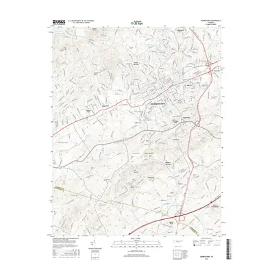
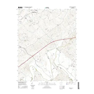
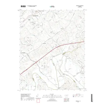
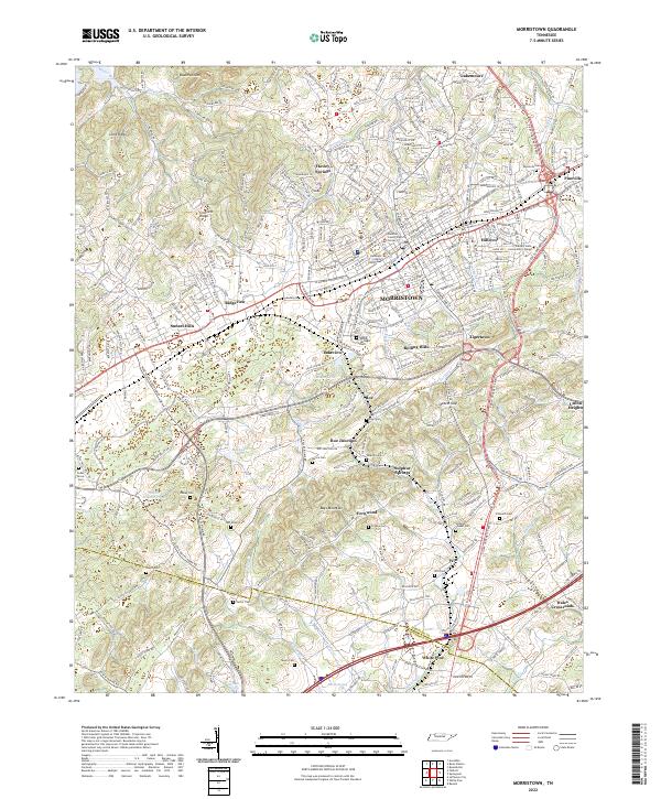 2022 Morristown2022 Print · USGSMorristown and the surrounding Hamblen County landscape are shown here in the early twenty-first century as the city expands toward the Jefferson County line. Genealogists and local historians can locate many family-named landmarks and burial sites, including Emma Jarnagin Cem, Watkins Chapel, and Roe Junction.
 - 2022 Map of Springvale, 2022 Print
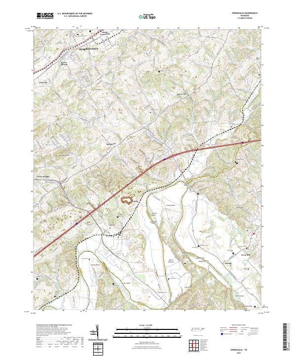 2022 Springvale2022 Print · USGSHamblen County in 2022 shows a landscape where the Nolichucky River meets the ridges of Bays Mountain. Researchers can trace local heritage through dozens of family burial sites like Bethesda Cem and the settlement at Cheeks Crossroads.
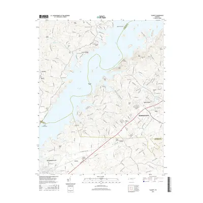
 - 2022 Map of Talbott, 2022 Print
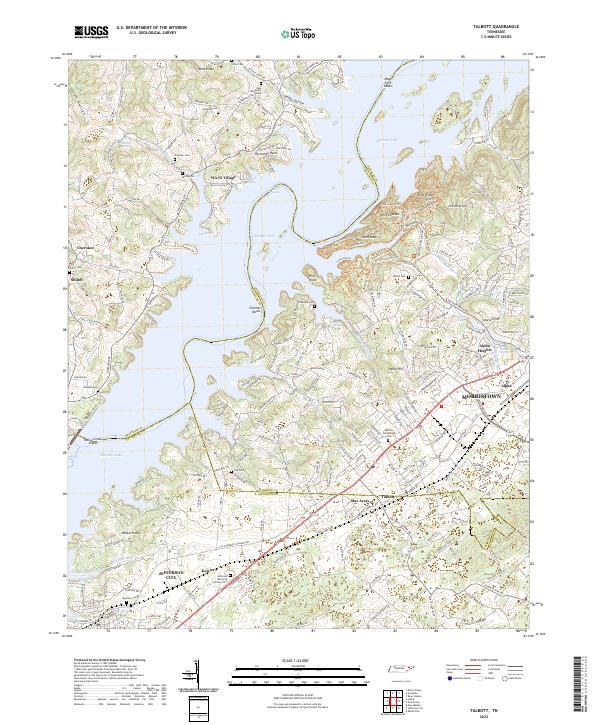 2022 Talbott2022 Print · USGSHamblen and Jefferson counties are captured here in the early 2020s, showing the intersection of lake life and suburban growth. Researchers can trace numerous family burial sites like Martha Sunderland Cem or explore historic industrial roots at Ore Mine Hill.
 - 2022 Map of Russellville, 2022 Print
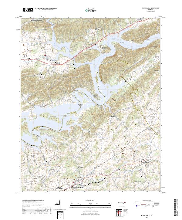 2022 Russellville2022 Print · USGSThe Cherokee Lake reservoir and the ridges of the Hawkins Co Hamblen Co border define this East Tennessee landscape in the early 2020s. Researchers can trace numerous family burial sites such as Bassett Cem and Bent Creek Cem or locate the historic Cain Mill.
 - 2023 Map of Bean Station, 2023 Print
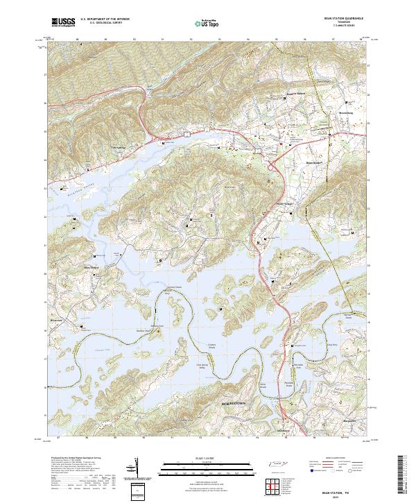 2023 Bean Station2023 Print · USGSThe Clinch Mountain ridges and the waters of Cherokee Lake define this region during its modern era of lakefront growth and rural preservation. Researchers can trace numerous family burial sites and historic river crossings like Marshalls Ferry, Long Ferry, and the Central United Methodist Church Cem.
End of results
Showing maps 1-25 of 25
Top cities near Morristown
- Sevierville historical maps
- Jefferson City historical maps
- Newport historical maps
- Bean Station historical maps
- Dandridge historical maps
- White Pine historical maps
See more
Top neighborhoods of Morristown
- Prima Estates historical maps
- Coulter historical maps
- Crockett Ridge historical maps
- Rolling Hills historical maps
- Southern Heights historical maps
- Greenwood Acres historical maps
See more
Frequently asked questions
- What are the different types of historical maps available for Morristown?
- What is the oldest map of Morristown?
- Where can I purchase historical maps of Morristown for my home or office?
- Where can I download high-res historical maps of Morristown?
- Are there historical topographic maps available for Morristown?
- Is there historical aerial imagery available for Morristown?
- Where are historical maps of Morristown sourced from?