Old Maps of Huckleberry, Tennessee for Hiking & Exploration
Hike through history with 18 historic maps of Huckleberry. Explore old trails, ghost towns, and forgotten backroads — perfect for outdoor adventurers and local explorers.
- Rediscover forgotten places: Map out old mining camps, roads, and footpaths that no longer exist on modern maps.
- Layer with modern tools: Combine with LiDAR or satellite views to plan hikes through historical terrain.
- Made for exploration: Popular among hikers, overlanders, and local history lovers.
Use these maps to find adventure and explore the hidden past of Huckleberry.
Huckleberry, TN maps
(18)- 1888 Map of Chattanooga
 1888 Chattanooga1888 Print · USGSSoutheast Tennessee in the late nineteenth century was a landscape of river ferries and mountain mining. Trace family roots and vanished landmarks near Chattanooga, from the Aetna Mines to historic river crossings like Harrison Ferry.
 - 1893 Map of Chattanooga
 1893 Chattanooga1893 Print · USGSSoutheast Tennessee is shown here in the 1890s, when river ferries and coal mines defined the landscape around the booming hub of Chattanooga. Genealogists and researchers can trace family lands near Eldridge Landing, the Mc Nabb Mines, or old settlements like Ooltewah.9 unique versions available
 - 1935 Map of Soddy
 1935 Soddy1935 Print · USGSThe Cumberland Escarpment meets the industrial valley floor north of Chattanooga in the mid-1930s. Researchers can trace family roots at Hotwater Cem or locate the old Rathburn Station along the Southern Railway.
 - 1946 Map of Soddy, 1960 Print
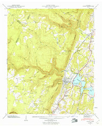 1946 Soddy1960 Print · USGSHamilton County settlement meets the newly formed Chickamauga Lake shoreline in the years following the second World War. Genealogists can trace family roots through the Soddy-Daisy High School and numerous burial grounds like Lovelady Cem and Millsaps Cem.2 unique versions available
 - 1947 Map of Soddy
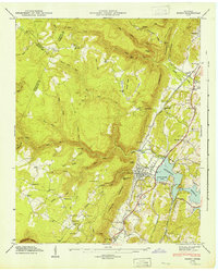 1947 Soddy1947 Print · USGSSoddy and the Tennessee Valley landscape are captured here in the late 1940s as the new reservoir and traditional industry met. Genealogists can trace family roots through the Soddy Cem, Mowbray Sch, and old rail stops like Rathburn Station.
 - 1953 Map of Chattanooga
 1953 Chattanooga1953 Print · USGSSoutheast Tennessee in the early fifties shows a landscape reshaped by river management and rail power. Trace the rail lines of the Southern Ry through riverside towns or locate the preserved grounds of the Chickamauga and Chattanooga National Military Park.
 - 1957 Map of Chattanooga, 1966 Print
 1957 Chattanooga1966 Print · USGSEast Tennessee in the mid-1960s shows a landscape of massive hydroelectric reservoirs and emerging industrial sites like the Atomic Energy Commission (Oak Ridge Area). Trace the rail networks of the Southern Ry through Chattanooga or locate family-named ridges across the Cumberland Plateau.3 unique versions available
 - 1959 Map of Chattanooga
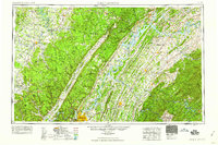 1959 Chattanooga1959 Print · USGSSoutheast Tennessee is shown here during a decade of industrial growth and hydroelectric development. Trace the regional rail networks of the Southern Ry and find landmark sites like Lookout Mountain, Fall Creek Falls State Park, and Chattanooga.
 - 1960 Map of Chattanooga
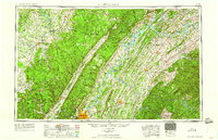 1960 Chattanooga1960 Print · USGSSoutheast Tennessee and the southern Appalachians are shown here at the height of the river-management era. You can trace the valley rail lines and locate Lookout Mountain and the expansive waters of Chickamauga Reservoir.
 - 1964 Map of Chattanooga
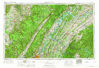 1964 Chattanooga1964 Print · USGSSoutheast Tennessee and the western Carolinas appear in the mid-sixties as a powerhouse of river-driven industry and mountain wilderness. Genealogists and historians can trace rail-town lineages along the Southern Ry or locate family landmarks near Watts Bar Lake and Tellico Plains.
 - 1972 Map of Soddy, 1974 Print
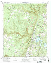 1972 Soddy1974 Print · USGSThe Cumberland plateau meets the shoreline of Chickamauga Lake in the early seventies as the industry of Soddy-Daisy expands. Trace family roots at Granny Walker Cem or locate the old Mowbray School and Hotwater Cem.2 unique versions available
 - 1979 Map of Chattanooga, 1980 Print
 1979 Chattanooga1980 Print · USGSSoutheast Tennessee in the late seventies reveals a landscape shaped by massive TVA river projects and the industrial strength of the Cumberland Plateau. Genealogists and historians can trace the rail-to-river network through L & N RR junctions, the University of the South, and the Volunteer Army Ammunition Plant.
 - 1988 Map of Chattanooga, 1991 Print
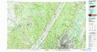 1988 Chattanooga1991 Print · USGSSoutheast Tennessee at the end of the 1980s reveals a complex landscape of deep river valleys and high coal-rich plateaus. Researchers can trace the legacy of the L & N RR through Tracy City or locate the sprawling Strip Mines near Whitwell.
 - 2010 Map of Soddy, 2010 Print
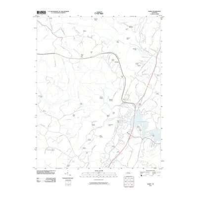 2010 Soddy2010 Print · USGSSoddy-Daisy and the surrounding ridges are shown at the start of the decade, where coal mining history meets the modern shoreline. Researchers can trace deep family roots at the Hotwater Cemetery or locate old industrial sites like the Burchard Mine and Daisy Mine.
 - 2013 Map of Soddy, 2013 Print
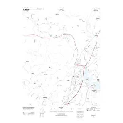 2013 Soddy2013 Print · USGSSoddy and the surrounding Cumberland Plateau are shown in detail during a period of modern residential growth along the shores of Dallas Lake. Family history researchers can trace local landmarks like Lovelady Spring, the Montlake Lookout Tower, and Bowman Cemetery Rd.
 - 2016 Map of Soddy, 2016 Print
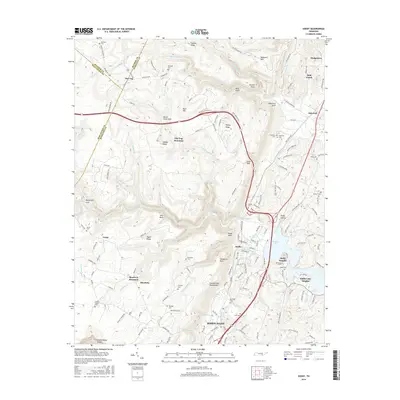 2016 Soddy2016 Print · USGSHamilton County sits at the dramatic meeting point of the Tennessee valley and the plateau in the mid-2010s. Local researchers can trace family sites like Granny Walker Cem and Wallace Cem or locate the deep reaches of Bakewell Gulf.
 - 2019 Map of Soddy, 2019 Print
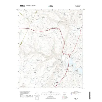 2019 Soddy2019 Print · USGSThe Hamilton County escarpment comes alive in the late 2010s as the rugged heights of Walden Ridge meet the expanding waters of Chickamauga Lake. Local historians can trace dozens of family landmarks and burial sites, from Hotwater Cemetery to the namesake Soddy Cemetery.
 - 2022 Map of Soddy, 2022 Print
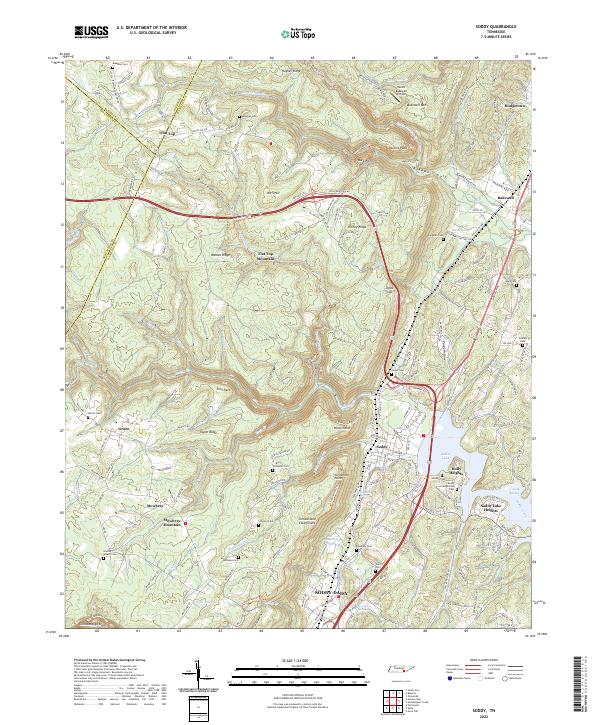 2022 Soddy2022 Print · USGSHamilton County settlement meets the highland plateau in the early 2020s, showing the residential expansion around Soddy-Daisy. Genealogists can locate family landmarks like the Soddy Presbyterian Cem and Granny Walker Cem beneath the heights of Walden Ridge.
End of results
Showing maps 1-18 of 18
Top cities near Huckleberry
- Chattanooga historical maps
- Soddy-Daisy historical maps
- Dayton historical maps
- Collegedale historical maps
- Signal Mountain historical maps
- Dunlap historical maps
See more
Frequently asked questions
- What are the different types of historical maps available for Huckleberry?
- What is the oldest map of Huckleberry?
- Where can I purchase historical maps of Huckleberry for my home or office?
- Where can I download high-res historical maps of Huckleberry?
- Are there historical topographic maps available for Huckleberry?
- Is there historical aerial imagery available for Huckleberry?
- Where are historical maps of Huckleberry sourced from?