1900s (20th Century) Maps of Livesay Mill, Tennessee
Explore 9 historic maps of Livesay Mill from the 1900s (20th Century). These maps offer a rare glimpse into what life looked like during the 1900s — showing old roads, neighborhoods, homes, and landmarks that have changed or disappeared over time.
Whether you're researching your family's past, planning a metal detecting trip, or studying how Livesay Mill's landscape evolved across the 1900s, these high-resolution maps are a powerful tool for exploring the history of this region.
- Focus on a specific era: All maps on this page are from the 1900s, giving you a focused view of this time period.
- See what’s changed: Compare century-old streets, trails, and buildings to today's modern landscape using overlays and satellite layers.
- Research with precision: Use these maps for genealogy, historical research, land use analysis, or educational projects.
- View, download, or print: Maps are fully viewable online in high resolution, and can be downloaded or printed for your own records.
Start exploring Livesay Mill's history through authentic maps from the 1900s. This is your window into the past.
Livesay Mill, TN maps
(9)- 1935 Map of Kyles Ford
 1935 Kyles Ford1935 Print · USGSHancock County and the Clinch River are captured in the mid-1930s, documenting a time when river fords and mountain gaps defined travel. Researchers can locate remote schools and cemeteries like Wallens Bend Sch, BLEDSOE CEM, and the settlement at Eidson.
 - 1950 Map of Kyles Ford
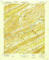 1950 Kyles Ford1950 Print · USGSHancock County life in the mid-century is centered on the winding Clinch River and the rugged ridges of East Tennessee and Southwest Virginia. Researchers can locate family landmarks like Livesay Mill and numerous burial grounds including Testerman Cem and Sizemore Cem.
 - 1955 Map of Johnson City
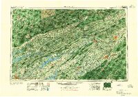 1955 Johnson City1955 Print · USGSEast Tennessee and the bordering highlands of Virginia and Kentucky appear here during the post-war industrial boom. You can trace the complex network of mountain ridges and new TVA lakes, from Johnson City to the coalfields near Middlesboro and Lynch.
 - 1957 Map of Johnson City, 1966 Print
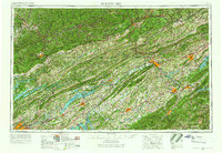 1957 Johnson City1966 Print · USGSUpper East Tennessee and Southwest Virginia are shown here during the mid-sixties transition of the Appalachians. Researchers can trace the industrial rail hubs of Kingsport, the sprawling waters of Cherokee Lake, and the historic Cumberland Gap.
 - 1960 Map of Johnson City
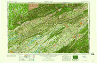 1960 Johnson City1960 Print · USGSUpper East Tennessee and the surrounding tri-state area are shown in the mid-fifties during the height of the TVA reservoir era. Trace the industrial rail lines of the Southern and Louisville and Nashville between Kingsport and Johnson City.
 - 1963 Map of Johnson City
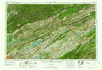 1963 Johnson City1963 Print · USGSThe Tri-Cities and the surrounding Appalachian ridges are shown in detail during the early sixties, highlighting the era's vital rail and river networks. Genealogists and historians can trace the routes of the Clinchfield RR and locate settlements from Rogersville to Elizabethton.
 - 1969 Map of Kyles Ford, 1970 Print
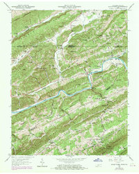 1969 Kyles Ford1970 Print · USGSThe Clinch River borderlands of Tennessee and Virginia appear here in the late sixties, showing a landscape defined by deep ridges and isolated valleys. Genealogists can locate family landmarks like Pridemore Cem and historic community hubs such as Livesay Mill and the Lonesome Pine School.
 - 1976 Map of Kyles Ford, 1981 Print
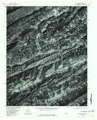 1976 Kyles Ford1981 Print · USGSThe Clinch River valley near the Tennessee-Virginia border is shown in sharp photographic detail during the mid-seventies. Local historians can trace the rural layouts of Kyles Ford and Chestnut Grove or locate the high crossings at Flower Gap and Little War Gap.
 - 1977 Map of Middlesboro, 1983 Print
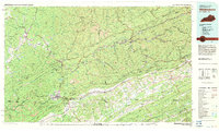 1977 Middlesboro1983 Print · USGSThe tri-state border region of Kentucky, Tennessee, and Virginia is shown here in the late seventies as the rail-and-river economy hummed through the gaps. Trace local family roots and transit routes through Middlesboro, Harlan, and Cumberland Gap National Historical Park.
End of results
Showing maps 1-9 of 9
Top cities near Livesay Mill
- Rogersville historical maps
- Bean Station historical maps
- Pennington Gap historical maps
- Surgoinsville historical maps
- Sneedville historical maps
- Dryden historical maps
See more
Frequently asked questions
- What are the different types of historical maps available for Livesay Mill?
- What is the oldest map of Livesay Mill?
- Where can I purchase historical maps of Livesay Mill for my home or office?
- Where can I download high-res historical maps of Livesay Mill?
- Are there historical topographic maps available for Livesay Mill?
- Is there historical aerial imagery available for Livesay Mill?
- Where are historical maps of Livesay Mill sourced from?