Old Maps of Mulberry Gap, Tennessee for Hiking & Exploration
Hike through history with 17 historic maps of Mulberry Gap. Explore old trails, ghost towns, and forgotten backroads — perfect for outdoor adventurers and local explorers.
- Rediscover forgotten places: Map out old mining camps, roads, and footpaths that no longer exist on modern maps.
- Layer with modern tools: Combine with LiDAR or satellite views to plan hikes through historical terrain.
- Made for exploration: Popular among hikers, overlanders, and local history lovers.
Use these maps to find adventure and explore the hidden past of Mulberry Gap.
Mulberry Gap, TN maps
(17)- 1887 Map of Jonesville
 1887 Jonesville1887 Print · USGSThe rugged borderlands of Virginia, Kentucky, and Tennessee are captured in the late nineteenth century during a time of isolated valley settlements. Genealogists and historians can trace family locations near Jonesville, Sneedville, and the remote Kyle's Ford along the Powell River.
 - 1891 Map of Jonesville
 1891 Jonesville1891 Print · USGSThe tri-state borderlands of Virginia, Kentucky, and Tennessee are captured here in the late nineteenth century. Researchers can trace early river crossings and mountain settlements like Poteet Ford, Shafers P.O., and Mt Pleasant.9 unique versions available
 - 1932 Map of Hagan
 1932 Hagan1932 Print · USGSThe rugged borderlands of Kentucky and Virginia come to life in this early 1930s survey of the high gaps and hollows. Researchers can locate remote mountain landmarks like Hensley Sch, Feepee Store, and the scattered cabins at Alva.3 unique versions available
 - 1935 Map of Back Valley
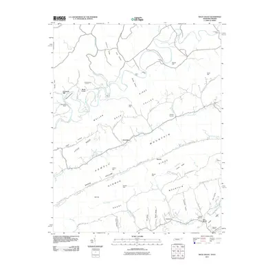
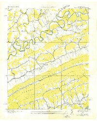 1935 Back Valley1935 Print · USGSThe Tennessee-Virginia borderlands in the mid-1930s reveal a landscape of river-bend settlements and mountain gaps. Genealogists can trace early homesteads and community centers like Wolfenbarger Ch, Mulberry Gap, and Sand Springs Sch along the river valleys.
 - 1946 Map of Back Valley, 1965 Print
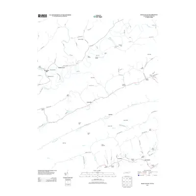
 1946 Back Valley1965 Print · USGSHancock County and Lee County residents lived along the ridges and river bends of the Clinch and Powell rivers just after the war. Researchers can trace family sites at the Wolfenbarger Cem, locate the Thompson Mill site, or find old schoolhouses like Sunnyside Sch.2 unique versions available
 - 1948 Map of Back Valley, 1949 Print
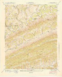 1948 Back Valley1949 Print · USGSThe Tennessee-Virginia borderlands in the late 1940s reveal a community tied to the Powell River and its numerous crossings. Researchers can trace rural life through sites like Thompson Mill, the Wolfenbarger Cem, and the river-crossing at Baldwin Ford.2 unique versions available
 - 1955 Map of Johnson City
 1955 Johnson City1955 Print · USGSEast Tennessee and the bordering highlands of Virginia and Kentucky appear here during the post-war industrial boom. You can trace the complex network of mountain ridges and new TVA lakes, from Johnson City to the coalfields near Middlesboro and Lynch.
 - 1957 Map of Johnson City, 1966 Print
 1957 Johnson City1966 Print · USGSUpper East Tennessee and Southwest Virginia are shown here during the mid-sixties transition of the Appalachians. Researchers can trace the industrial rail hubs of Kingsport, the sprawling waters of Cherokee Lake, and the historic Cumberland Gap.
 - 1960 Map of Johnson City
 1960 Johnson City1960 Print · USGSUpper East Tennessee and the surrounding tri-state area are shown in the mid-fifties during the height of the TVA reservoir era. Trace the industrial rail lines of the Southern and Louisville and Nashville between Kingsport and Johnson City.
 - 1963 Map of Johnson City
 1963 Johnson City1963 Print · USGSThe Tri-Cities and the surrounding Appalachian ridges are shown in detail during the early sixties, highlighting the era's vital rail and river networks. Genealogists and historians can trace the routes of the Clinchfield RR and locate settlements from Rogersville to Elizabethton.
 - 1976 Map of Back Valley, 1981 Print
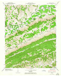
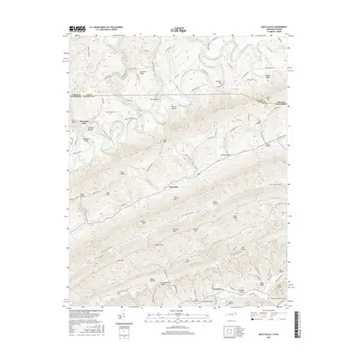
 1976 Back Valley1981 Print · USGSHancock County in the mid-seventies is a landscape of parallel ridges and winding waterways at the Tennessee-Virginia border. Researchers can trace the rural layout of Evanston or locate mountain passages like Mulberry Gap and Sales Gap.
 - 1977 Map of Middlesboro, 1983 Print
 1977 Middlesboro1983 Print · USGSThe tri-state border region of Kentucky, Tennessee, and Virginia is shown here in the late seventies as the rail-and-river economy hummed through the gaps. Trace local family roots and transit routes through Middlesboro, Harlan, and Cumberland Gap National Historical Park.
 - 2011 Map of Back Valley, 2011 Print
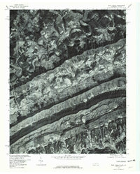
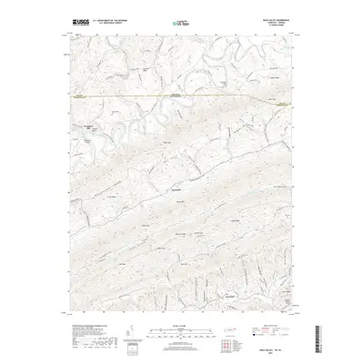
 2011 Back Valley2011 Print · USGSCovers Mulberry Gap, including Sunnyside, Evanston, and other nearby areas
 - 2013 Map of Back Valley, 2013 Print
 2013 Back Valley2013 Print · USGSCovers Mulberry Gap, including Sunnyside, Evanston, and other nearby areas
 - 2016 Map of Back Valley, 2016 Print
 2016 Back Valley2016 Print · USGSCovers Mulberry Gap, including Sunnyside, Evanston, and other nearby areas
 - 2019 Map of Back Valley, 2019 Print
 2019 Back Valley2019 Print · USGSCovers Mulberry Gap, including Sunnyside, Evanston, and other nearby areas
 - 2022 Map of Back Valley, 2022 Print
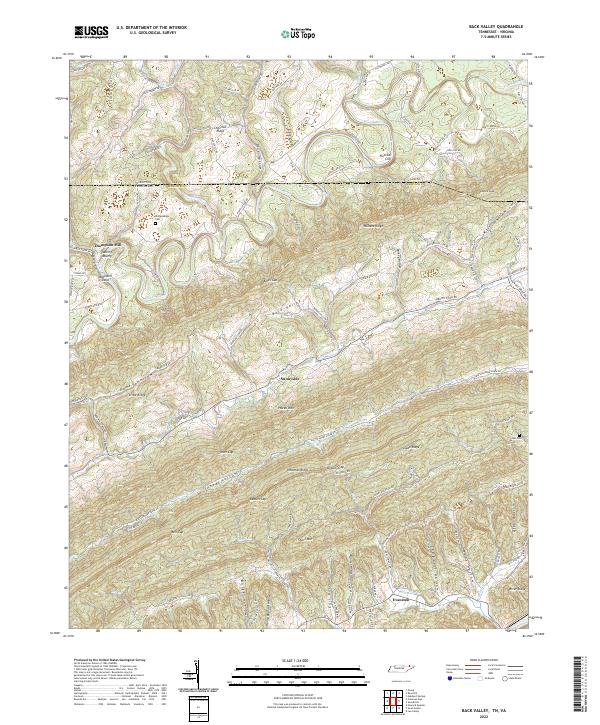 2022 Back Valley2022 Print · USGSHancock County and the Tennessee-Virginia border are shown here in the early 2020s, dominated by the ridges of the Appalachian interior. Researchers can trace family history through landmarks like Thompson Mill, Wolfenbarger Cem, and the communities of Sunnyside and Evanston.
End of results
Showing maps 1-17 of 17
Top cities near Mulberry Gap
- Rogersville historical maps
- Bean Station historical maps
- Pennington Gap historical maps
- Sneedville historical maps
- Jonesville historical maps
- Rose Hill historical maps
See more
Frequently asked questions
- What are the different types of historical maps available for Mulberry Gap?
- What is the oldest map of Mulberry Gap?
- Where can I purchase historical maps of Mulberry Gap for my home or office?
- Where can I download high-res historical maps of Mulberry Gap?
- Are there historical topographic maps available for Mulberry Gap?
- Is there historical aerial imagery available for Mulberry Gap?
- Where are historical maps of Mulberry Gap sourced from?