Old Maps of Pollards Mill, Tennessee for Academic Research
Study the evolution of Pollards Mill with 11 high-resolution historic maps. Whether you're teaching, researching, or modeling changes in land use, these maps provide essential visual documentation of urban, environmental, and geographic change.
- Analyze long-term change: Track patterns in development, transportation, and natural features.
- Ideal for environmental or urban studies: Support academic projects with primary historical map data.
- Use in the classroom or lab: Educators and researchers rely on these maps to bring historical context to life.
These maps are a powerful tool for teaching, research, and visualizing how Pollards Mill has changed over the decades.
Pollards Mill, TN maps
(11)- 1936 Map of Lowryville
 1936 Lowryville1936 Print · USGSThe Tennessee-Alabama borderlands come alive in this mid-1930s survey of the rural communities near Lowryville. Genealogists and historians can trace family roots through numerous local landmarks like Pollards Mill, Duncans Chapel Sch, and the uniquely named Faint Hope Cem.
 - 1949 Map of Lowryville, 1973 Print
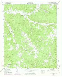 1949 Lowryville1973 Print · USGSThe Tennessee-Alabama borderlands come to life in this mid-century survey of the creeks and hollows south of Savannah. Researchers can trace family roots through numerous landmarks like Pollards Mill, Cherry Chapel Cem, and Walnut Grove.2 unique versions available
 - 1952 Map of Lowryville
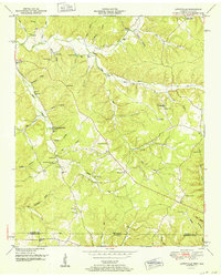 1952 Lowryville1952 Print · USGSThe Tennessee-Alabama borderlands come to life in the early fifties, showing a rural landscape of creek-side hamlets and ridge-top farms. Genealogists can trace family roots through several named cemeteries like Faint Hope Cem and old community hubs such as Pollards Mill and Walnut Grove.
 - 1956 Map of Blytheville, 1964 Print
 1956 Blytheville1964 Print · USGSWest Tennessee and the Arkansas Delta come alive in this mid-century survey of the river-and-rail corridor connecting Memphis to Jackson. Genealogists and historians can trace the rail lines of the Louisville and Nashville RR and locate landmarks like Western State Hospital or Fort Pillow State Prison Farm.2 unique versions available
 - 1959 Map of Blytheville
 1959 Blytheville1959 Print · USGSWest Tennessee and Northeast Arkansas meet along the river in the late fifties, during a period of steady industrial and agricultural growth. Genealogists can trace the rail corridors of the Illinois Central through Jackson or explore landmarks like Shiloh National Military Park and Fort Pillow State Prison.
 - 1986 Map of Selmer
 1986 Selmer1986 Print · USGSThe Tennessee River valley and the West Tennessee highlands come into focus in the mid-eighties, showing the region's unique intersection of Civil War history and modern infrastructure. Genealogists and researchers can trace family landmarks like Gillisses Mills, the campus of Freed-Hardeman College, and the hallowed grounds of Shiloh National Military Park.3 unique versions available
 - 2010 Map of Lowryville, 2010 Print
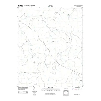 2010 Lowryville2010 Print · USGSThe Tennessee-Alabama borderlands are captured here in the early twenty-first century, showing a landscape of family-run farms and creek-bottom settlements. Researchers can trace local lineages through numerous burial sites like Faint Hope Cemetery, Petty Branch Cemetery, and Franks Store Cemetery.
 - 2013 Map of Lowryville, 2013 Print
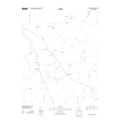 2013 Lowryville2013 Print · USGSSouthern Hardin County is captured here in the early twenty-first century, showing the enduring settlement patterns along the Tennessee-Alabama border. Researchers can locate family landmarks such as Pollards Mill, follow the reaches of Whites Cr, and trace rural life through Walnut Grove and Lowryville.
 - 2016 Map of Lowryville, 2016 Print
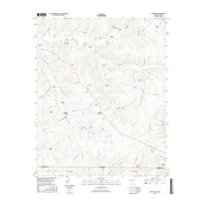 2016 Lowryville2016 Print · USGSHardin County and the Alabama borderlands appear in this modern survey of rural Tennessee. Genealogists can trace family lines through dozens of named sites like Franks Store Cem, Pollards Mill, and the community of Walnut Grove.
 - 2019 Map of Lowryville, 2019 Print
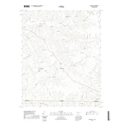 2019 Lowryville2019 Print · USGSThe Tennessee-Alabama borderlands come into focus here in the late 2010s, showcasing the rural crossroads of Hardin County. Genealogists can trace family names through dozens of local sites like Franks Store Cem, Pollards Mill, and Faint Hope Cem.
 - 2022 Map of Lowryville, 2022 Print
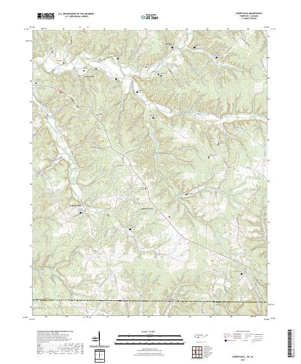 2022 Lowryville2022 Print · USGSStraddling the Tennessee and Alabama border in the 2020s, this area maintains its traditional rural settlement patterns. Genealogists can trace family names through dozens of sites like Franks Store Cem, Lowryville, and Faint Hope Cem.
End of results
Showing maps 1-11 of 11
Top cities near Pollards Mill
- Savannah historical maps
- Iuka historical maps
- Crump historical maps
- Burnsville historical maps
- Waterloo historical maps
Frequently asked questions
- What are the different types of historical maps available for Pollards Mill?
- What is the oldest map of Pollards Mill?
- Where can I purchase historical maps of Pollards Mill for my home or office?
- Where can I download high-res historical maps of Pollards Mill?
- Are there historical topographic maps available for Pollards Mill?
- Is there historical aerial imagery available for Pollards Mill?
- Where are historical maps of Pollards Mill sourced from?