Old Maps of Cottage Grove, Tennessee for Academic Research
Study the evolution of Cottage Grove with 15 high-resolution historic maps. Whether you're teaching, researching, or modeling changes in land use, these maps provide essential visual documentation of urban, environmental, and geographic change.
- Analyze long-term change: Track patterns in development, transportation, and natural features.
- Ideal for environmental or urban studies: Support academic projects with primary historical map data.
- Use in the classroom or lab: Educators and researchers rely on these maps to bring historical context to life.
These maps are a powerful tool for teaching, research, and visualizing how Cottage Grove has changed over the decades.
Cottage Grove, TN maps
(15)- 1936 Map of Crossland
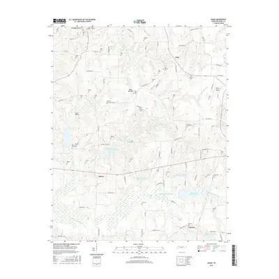
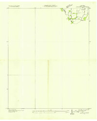 1936 Crossland1936 Print · USGSHenry County farmland near the Kentucky border comes into focus during the mid-1930s, documenting the rural landscape and early TVA hydrological planning. Researchers can locate Oak Grove Ch and trace the drainage patterns near Crossland and the Tennessee Basin.
 - 1950 Map of Osage
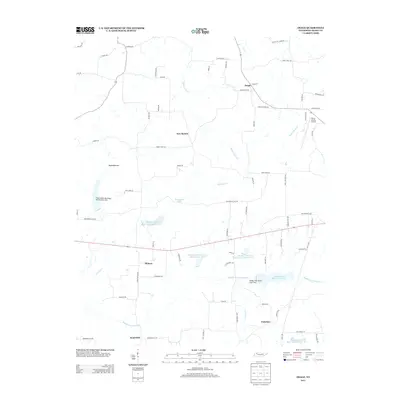
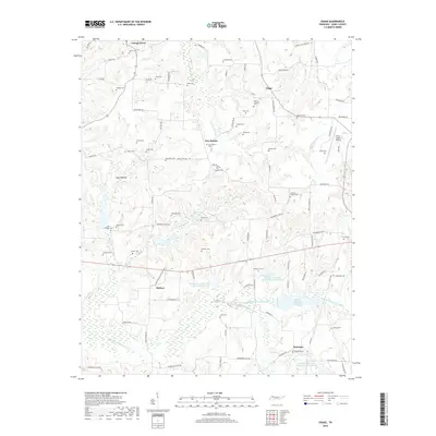
 1950 Osage1950 Print · USGSHenry County in the early fifties shows a landscape of established farmsteads and rural social centers. Genealogists can trace family names through dozens of landmarks like Central Point School, Oak Hill Church, and the Palestine Cem burial grounds.3 unique versions available
 - 1950 Map of Cottage Grove, 1954 Print
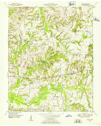
 1950 Cottage Grove1954 Print · USGSHenry County is captured in the early postwar years as a landscape of small family farms and dispersed rural crossroads. Genealogists can trace hundreds of local landmarks, from the Cottage Grove settlement to Dogwood Sch and dozens of family-named cemeteries like Kuykendall Cem.3 unique versions available
 - 1956 Map of Dyersburg, 1960 Print
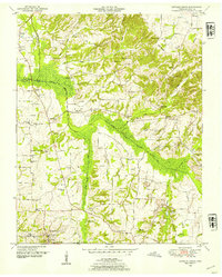
 1956 Dyersburg1960 Print · USGSThe Four Rivers region comes alive in the mid-fifties, capturing the intricate borderlands of Tennessee, Kentucky, and Missouri. Genealogists and historians can trace the rail-and-river networks connecting Dyersburg, Caruthersville, and the shoreline of Reelfoot Lake.4 unique versions available
 - 1986 Map of McKenzie
 1986 McKenzie1986 Print · USGSWest Tennessee in the mid-eighties was a landscape defined by its deep river forks and the massive waters of Kentucky Lake. Researchers can trace the rail lines of the Louisville & Nashville RR and find local landmarks from Skullbone to the Paris Landing State Park.3 unique versions available
 - 2010 Map of Cottage Grove, 2010 Print
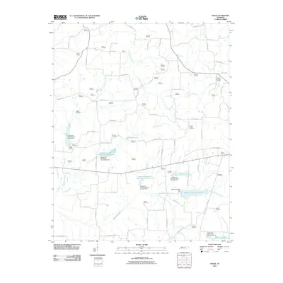
 2010 Cottage Grove2010 Print · USGSCovers Cottage Grove, including Jones Mill, Midway, and other nearby areas
 - 2010 Map of Osage, 2010 Print
 2010 Osage2010 Print · USGSCovers Cottage Grove, including Hearndale, Osage, and other nearby areas
 - 2013 Map of Osage, 2013 Print
 2013 Osage2013 Print · USGSCovers Cottage Grove, including Hearndale, Osage, and other nearby areas
 - 2013 Map of Cottage Grove, 2013 Print
 2013 Cottage Grove2013 Print · USGSCovers Cottage Grove, including Jones Mill, Midway, and other nearby areas
 - 2016 Map of Osage, 2016 Print
 2016 Osage2016 Print · USGSCovers Cottage Grove, including Hearndale, Osage, and other nearby areas
 - 2016 Map of Cottage Grove, 2016 Print
 2016 Cottage Grove2016 Print · USGSCovers Cottage Grove, including Jones Mill, Midway, and other nearby areas
 - 2019 Map of Cottage Grove, 2019 Print
 2019 Cottage Grove2019 Print · USGSCovers Cottage Grove, including Jones Mill, Midway, and other nearby areas
 - 2019 Map of Osage, 2019 Print
 2019 Osage2019 Print · USGSCovers Cottage Grove, including Hearndale, Osage, and other nearby areas
 - 2022 Map of Osage, 2022 Print
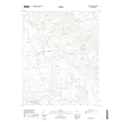
 2022 Osage2022 Print · USGSHenry County rural life is captured here in the early twenty-first century, centered on the river bottoms and small communities. Researchers can trace family history through dozens of local burial sites like Speight Cem and Tharp Cem, or follow the course of the Middle Fork Obion River.
 - 2022 Map of Cottage Grove, 2022 Print
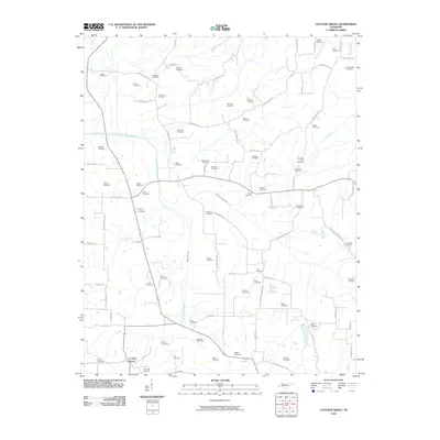
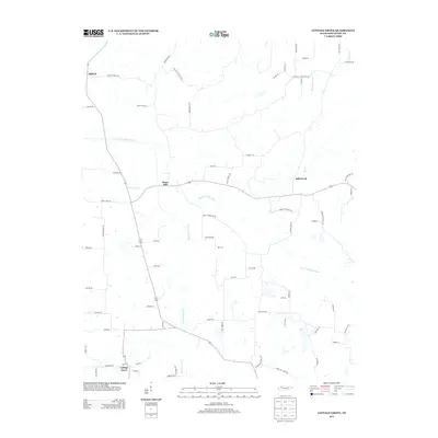
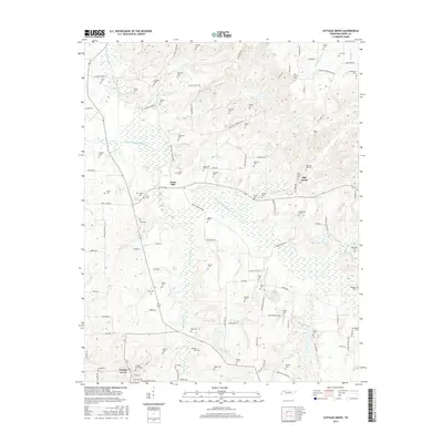
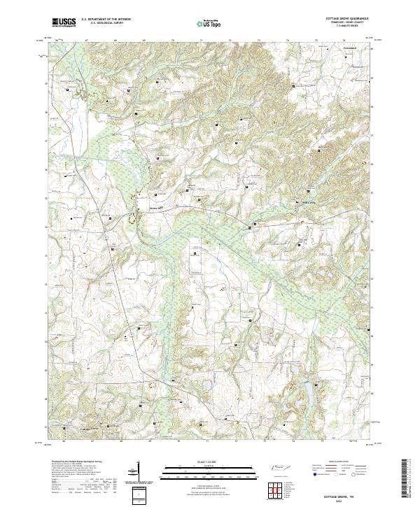 2022 Cottage Grove2022 Print · USGSCottage Grove and the rural reaches of Henry County are shown in detail as they appeared in the early 2020s. Researchers can locate dozens of family burial sites like Kuykendall Cem and Allison Cem or trace the winding course of the North Fork Obion River.
End of results
Showing maps 1-15 of 15
Top cities near Cottage Grove
- Murray historical maps
- Paris historical maps
- McKenzie historical maps
- Dresden historical maps
- Gleason historical maps
- Puryear historical maps
See more
Frequently asked questions
- What are the different types of historical maps available for Cottage Grove?
- What is the oldest map of Cottage Grove?
- Where can I purchase historical maps of Cottage Grove for my home or office?
- Where can I download high-res historical maps of Cottage Grove?
- Are there historical topographic maps available for Cottage Grove?
- Is there historical aerial imagery available for Cottage Grove?
- Where are historical maps of Cottage Grove sourced from?