Old Maps of Haigler Ridge, Tennessee for Metal Detecting
Plan your next treasure hunt with 10 historic maps of Haigler Ridge. Find old homesites, ghost towns, trails, and gathering spots that may be lost to time — perfect for identifying promising metal detecting locations.
- Locate forgotten sites: Uncover places like long-lost settlements, abandoned rail lines, or gathering spots.
- Plan better hunts: Use map overlays combined with LiDAR or satellite views to narrow in on historically rich areas.
- Made for detectorists: Thousands of hobbyists use these maps to discover relics, coins, and hidden history.
Use these historic maps to boost your research and find new opportunities beneath the surface of Haigler Ridge.
Haigler Ridge, TN maps
(10)- 1936 Map of Springville
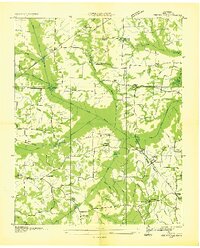 1936 Springville1936 Print · USGSHenry County is captured here in the mid-1930s during a period of significant landscape engineering by the Tennessee Valley Authority. Genealogists can locate family landmarks like Sulphur Well Academy, Providence Sch, and the Beaverdam Cem.
 - 1938 Map of Springville
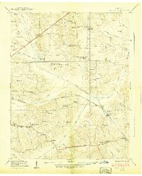 1938 Springville1938 Print · USGSIn the hills of West Tennessee during the late 1930s, rural life centered on the rail corridor and a network of country schools. Genealogists can trace family names through dozens of landmarks like Boothe Cem, Oakland Sch, and the Sulphur Well Academy.2 unique versions available
 - 1956 Map of Dyersburg, 1960 Print
 1956 Dyersburg1960 Print · USGSThe Four Rivers region comes alive in the mid-fifties, capturing the intricate borderlands of Tennessee, Kentucky, and Missouri. Genealogists and historians can trace the rail-and-river networks connecting Dyersburg, Caruthersville, and the shoreline of Reelfoot Lake.4 unique versions available
 - 1965 Map of West Sandy Dike, 1967 Print
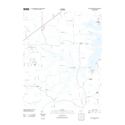
 1965 West Sandy Dike1967 Print · USGSHenry County territory near the Kentucky border comes into focus in the mid-sixties, showing the Tennessee Valley Authority's impact on the local landscape. Researchers can trace family sites like Old Springville, find numerous family burial grounds including Wright Cem, and locate the Dismantled RR corridor.2 unique versions available
 - 1986 Map of McKenzie
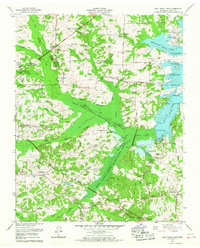
 1986 McKenzie1986 Print · USGSWest Tennessee in the mid-eighties was a landscape defined by its deep river forks and the massive waters of Kentucky Lake. Researchers can trace the rail lines of the Louisville & Nashville RR and find local landmarks from Skullbone to the Paris Landing State Park.3 unique versions available
 - 2010 Map of West Sandy Dike, 2010 Print
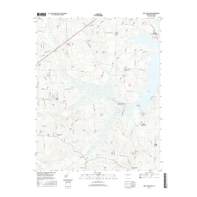
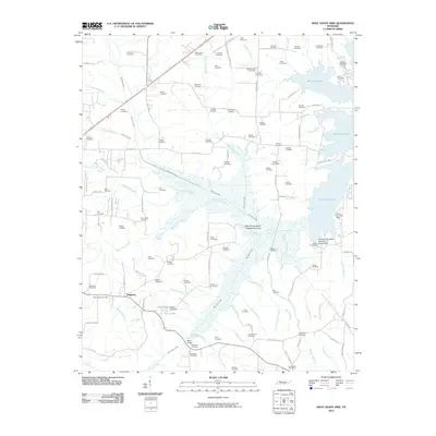 2010 West Sandy Dike2010 Print · USGSCovers Haigler Ridge, including Antioch Harbor Resort, Sunny Side, and other nearby areas
 - 2013 Map of West Sandy Dike, 2013 Print
 2013 West Sandy Dike2013 Print · USGSCovers Haigler Ridge, including Antioch Harbor Resort, Sunny Side, and other nearby areas
 - 2016 Map of West Sandy Dike, 2016 Print
 2016 West Sandy Dike2016 Print · USGSCovers Haigler Ridge, including Antioch Harbor Resort, Sunny Side, and other nearby areas
 - 2019 Map of West Sandy Dike, 2019 Print
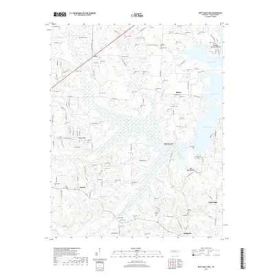 2019 West Sandy Dike2019 Print · USGSCovers Haigler Ridge, including Antioch Harbor Resort, Sunny Side, and other nearby areas
 - 2022 Map of West Sandy Dike, 2022 Print
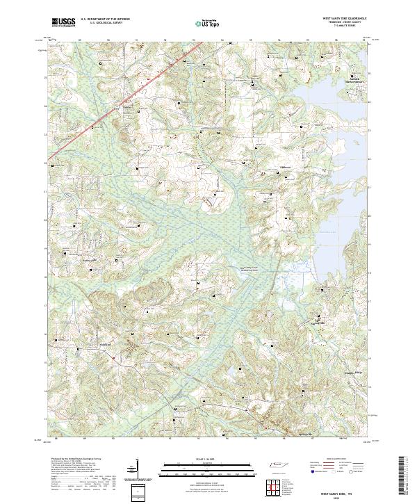 2022 West Sandy Dike2022 Print · USGSHenry County, Tennessee, is shown here as it appears in the early twenty-first century, defined by the waters of Kentucky Lake. Genealogists and historians can trace numerous family burial sites like Old Beaverdam Cem and explore the historic location of Old Springville.
End of results
Showing maps 1-10 of 10
Top cities near Haigler Ridge
- Paris historical maps
- Camden historical maps
- Bruceton historical maps
- Hollow Rock historical maps
- Puryear historical maps
- Big Sandy historical maps
Frequently asked questions
- What are the different types of historical maps available for Haigler Ridge?
- What is the oldest map of Haigler Ridge?
- Where can I purchase historical maps of Haigler Ridge for my home or office?
- Where can I download high-res historical maps of Haigler Ridge?
- Are there historical topographic maps available for Haigler Ridge?
- Is there historical aerial imagery available for Haigler Ridge?
- Where are historical maps of Haigler Ridge sourced from?