Old Maps of Salem, Tennessee for Metal Detecting
Plan your next treasure hunt with 8 historic maps of Salem. Find old homesites, ghost towns, trails, and gathering spots that may be lost to time — perfect for identifying promising metal detecting locations.
- Locate forgotten sites: Uncover places like long-lost settlements, abandoned rail lines, or gathering spots.
- Plan better hunts: Use map overlays combined with LiDAR or satellite views to narrow in on historically rich areas.
- Made for detectorists: Thousands of hobbyists use these maps to discover relics, coins, and hidden history.
Use these historic maps to boost your research and find new opportunities beneath the surface of Salem.
Salem, TN maps
(8)- 1955 Map of Henry, 1957 Print
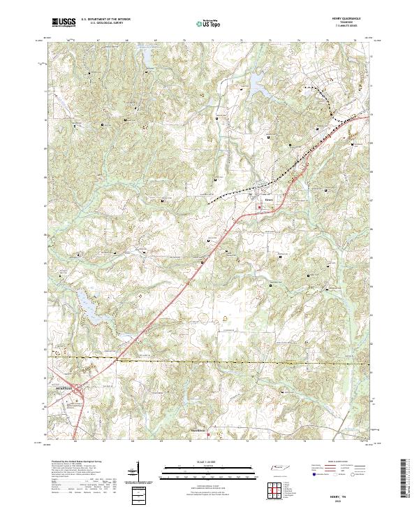
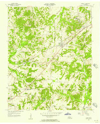 1955 Henry1957 Print · USGSHenry and the surrounding countryside are shown in the mid-1950s as the railroad and small-town schools shaped West Tennessee life. Genealogists can trace family landmarks like Dillahunty Cem and Caton Springs Cem, or find old gathering places such as Salem Ch.3 unique versions available
 - 1956 Map of Dyersburg, 1960 Print
 1956 Dyersburg1960 Print · USGSThe Four Rivers region comes alive in the mid-fifties, capturing the intricate borderlands of Tennessee, Kentucky, and Missouri. Genealogists and historians can trace the rail-and-river networks connecting Dyersburg, Caruthersville, and the shoreline of Reelfoot Lake.4 unique versions available
 - 1986 Map of McKenzie
 1986 McKenzie1986 Print · USGSWest Tennessee in the mid-eighties was a landscape defined by its deep river forks and the massive waters of Kentucky Lake. Researchers can trace the rail lines of the Louisville & Nashville RR and find local landmarks from Skullbone to the Paris Landing State Park.3 unique versions available
 - 2010 Map of Henry, 2010 Print
 2010 Henry2010 Print · USGSCovers Salem, including McKenzie, Henry, and other nearby areas
 - 2013 Map of Henry, 2013 Print
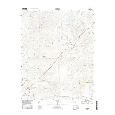
 2013 Henry2013 Print · USGSCovers Salem, including McKenzie, Henry, and other nearby areas
 - 2016 Map of Henry, 2016 Print
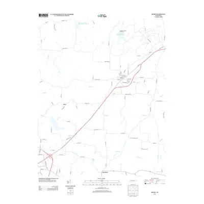
 2016 Henry2016 Print · USGSCovers Salem, including McKenzie, Henry, and other nearby areas
 - 2019 Map of Henry, 2019 Print
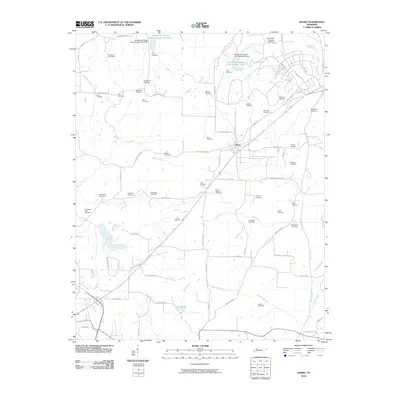
 2019 Henry2019 Print · USGSCovers Salem, including McKenzie, Henry, and other nearby areas
 - 2022 Map of Henry, 2022 Print
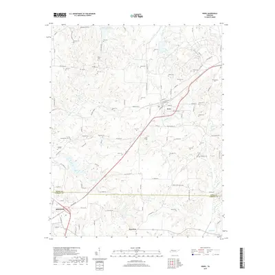
 2022 Henry2022 Print · USGSHenry and the northwestern Carroll County line appear here in the early 2020s, showing a landscape densely populated by ancestral sites. Genealogists can trace family names at Brogdon Cem, Covington Wall Cem, and Bird Miller Cem along the headwaters of Caledonia Cr.
End of results
Showing maps 1-8 of 8
Top cities near Salem
- Paris historical maps
- McKenzie historical maps
- Huntingdon historical maps
- Dresden historical maps
- Bruceton historical maps
- Gleason historical maps
See more
Frequently asked questions
- What are the different types of historical maps available for Salem?
- What is the oldest map of Salem?
- Where can I purchase historical maps of Salem for my home or office?
- Where can I download high-res historical maps of Salem?
- Are there historical topographic maps available for Salem?
- Is there historical aerial imagery available for Salem?
- Where are historical maps of Salem sourced from?