Old Maps of Swan Bluff, Tennessee for Genealogy
Trace your family roots with 10 historic maps of Swan Bluff. These high-res maps reveal old neighborhoods, homesites, landmarks, and streets — helping you uncover where your ancestors lived and how the area evolved over time.
- Explore historic neighborhoods: Identify where your relatives may have lived in the 1800s or 1900s.
- Compare maps over time: Trace the changes in streets, buildings, and landmarks for multi-generational research.
- Perfect for genealogy & ancestry research: Used by family historians and researchers to map out lineage and migration.
These maps are an incredible resource for exploring your personal connection to Swan Bluff's past.
Swan Bluff, TN maps
(10)- 1901 Map of Colombia
 1901 Colombia1901 Print · USGSMiddle Tennessee at the close of the century reveals a landscape shaped by river bends and a dense network of turnpikes. Genealogists can trace family roots through settlements like Santa Fe and Warner or locate landmarks such as the U.S. Arsenal and Zion Ch.3 unique versions available
 - 1936 Map of Sunrise
 1936 Sunrise1936 Print · USGSThe rural landscape of Hickman County is captured here in the mid-1930s, showing a transition toward electrification and modern transit. Researchers can locate early schools and churches like Brushy Sch and Raleigh Chapel or trace the Nashville Chattanooga and St Louis Ry through Deans.
 - 1952 Map of Sunrise, 1957 Print
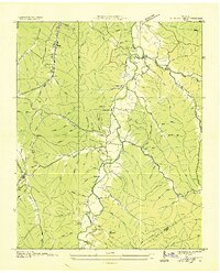
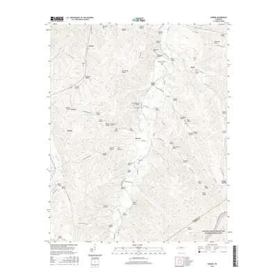
 1952 Sunrise1957 Print · USGSHickman County in the early fifties is captured here as a landscape of isolated hollows and creek-side settlements. Researchers can trace the path of the Nashville Chattanooga & St Louis rail line or locate ancestral sites at Whiteside Cem and Rawleigh Chapel.2 unique versions available
 - 1956 Map of Columbia, 1960 Print
 1956 Columbia1960 Print · USGSMiddle Tennessee in the mid-fifties presents a landscape of established river towns and critical rail hubs before the arrival of the modern interstate system. Researchers can trace the routes of the Louisville and Nashville railroad or locate historic landmarks like Stones River National Military Park and the Tennessee National Wildlife Refuge.6 unique versions available
 - 1986 Map of Hohenwald
 1986 Hohenwald1986 Print · USGSThe Western Highland Rim of Tennessee comes into focus during the mid-eighties, showing the deep river valleys and high ridges of Lewis and Perry counties. Researchers can trace the path of the Natchez Trace Parkway or locate interior settlements like Chestnut Grove, Farmers Exchange, and Hustburg.3 unique versions available
 - 2010 Map of Sunrise, 2010 Print
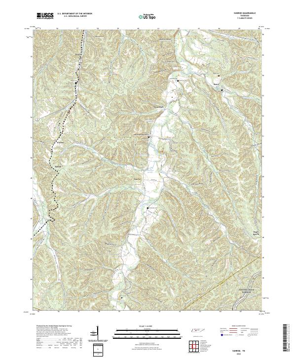
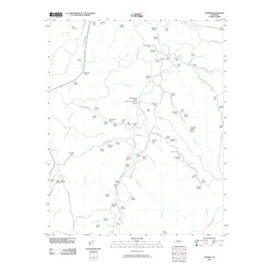 2010 Sunrise2010 Print · USGSCovers Swan Bluff, including Buffalo, Bond, and other nearby areas
 - 2013 Map of Sunrise, 2013 Print
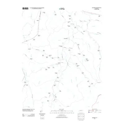 2013 Sunrise2013 Print · USGSCovers Swan Bluff, including Buffalo, Bond, and other nearby areas
 - 2016 Map of Sunrise, 2016 Print
 2016 Sunrise2016 Print · USGSCovers Swan Bluff, including Buffalo, Bond, and other nearby areas
 - 2019 Map of Sunrise, 2019 Print
 2019 Sunrise2019 Print · USGSCovers Swan Bluff, including Buffalo, Bond, and other nearby areas
 - 2022 Map of Sunrise, 2022 Print
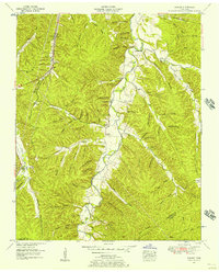
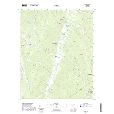
 2022 Sunrise2022 Print · USGSThe rural hills of Middle Tennessee are captured here in the early twenty-first century, showing a landscape defined by deep hollows and creek-side settlements. Researchers can trace family history through numerous burial sites like Whiteside Cem and Campground Cem along the banks of Big Swan Creek.
End of results
Showing maps 1-10 of 10
Top cities near Swan Bluff
Frequently asked questions
- What are the different types of historical maps available for Swan Bluff?
- What is the oldest map of Swan Bluff?
- Where can I purchase historical maps of Swan Bluff for my home or office?
- Where can I download high-res historical maps of Swan Bluff?
- Are there historical topographic maps available for Swan Bluff?
- Is there historical aerial imagery available for Swan Bluff?
- Where are historical maps of Swan Bluff sourced from?