Old Maps of Buffalo, Tennessee
Explore 9 old maps of Buffalo, spanning from 1936 to today. These high-resolution historic maps reveal how streets, neighborhoods, landmarks, and natural features evolved over time — perfect for genealogy, metal detecting, research, and local history exploration.
What you can do with these maps:
- See how Buffalo changed over time: Compare historical maps to modern-day views to trace roads, homesites, rail lines & more.
- View detailed metadata: Each map includes creators, publishers, year, scale, and archive source.
- Overlay maps with satellite & LiDAR: Visualize the past alongside modern tools to explore terrain & human change.
- Trusted historical sources: Maps sourced from the USGS, Library of Congress, and other archives.
- Access maps your way: View online, download high-res files, or order prints for personal or research use.
Start exploring old maps of Buffalo to uncover forgotten places, hidden landmarks, and the deep history beneath your feet.
Buffalo, TN maps
(9)- 1936 Map of Hurricane Mills
 1936 Hurricane Mills1936 Print · USGSHumphreys County in the mid-1930s is a landscape defined by the winding paths of the Duck and Buffalo Rivers. Genealogists and local historians can trace the foundations of these river communities through family-named landmarks like Williams Cem, early education at Pegram Sch, and river crossings at Tanksley Bridge.
 - 1950 Map of Hurricane Mills, 1953 Print
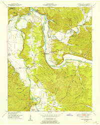 1950 Hurricane Mills1953 Print · USGSThe Tennessee river country in the early fifties shows a landscape of river-bottom farming and ridge-top settlements. Researchers can trace family history through numerous rural landmarks like Hurricane Mills School, Bone Cem, and the river crossing at Tanksley Bridge.2 unique versions available
 - 1956 Map of Columbia, 1960 Print
 1956 Columbia1960 Print · USGSMiddle Tennessee in the mid-fifties presents a landscape of established river towns and critical rail hubs before the arrival of the modern interstate system. Researchers can trace the routes of the Louisville and Nashville railroad or locate historic landmarks like Stones River National Military Park and the Tennessee National Wildlife Refuge.6 unique versions available
 - 1986 Map of Hohenwald
 1986 Hohenwald1986 Print · USGSThe Western Highland Rim of Tennessee comes into focus during the mid-eighties, showing the deep river valleys and high ridges of Lewis and Perry counties. Researchers can trace the path of the Natchez Trace Parkway or locate interior settlements like Chestnut Grove, Farmers Exchange, and Hustburg.3 unique versions available
 - 2010 Map of Hurricane Mills, 2010 Print
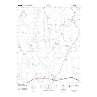 2010 Hurricane Mills2010 Print · USGSIn the Tennessee river valleys during the early twenty-first century, the landscape remains defined by its deep hollows and family cemeteries. Genealogists can locate family plots like Ladd Cemetery and Shannon Cemetery or trace old river crossings at Hite Ford and Link Bridge.
 - 2013 Map of Hurricane Mills, 2013 Print
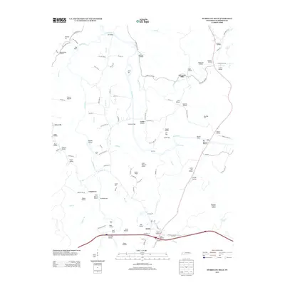 2013 Hurricane Mills2013 Print · USGSHumphreys County at the start of the 2010s shows a landscape deeply tied to the winding Duck River and Buffalo River. Researchers can trace old family hollows and historic river crossings like Martin Ford, Hurricane Mills, and the settlement of Bakerville.
 - 2016 Map of Hurricane Mills, 2016 Print
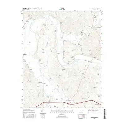 2016 Hurricane Mills2016 Print · USGSThe river bottomlands of Humphreys County come alive in this 2016 survey, showing the confluence of the Duck River and Buffalo River. Researchers can trace family history through numerous rural burial grounds like Anderson Cem, Bone Cem, and the settlement at Hurricane Mills.
 - 2019 Map of Hurricane Mills, 2019 Print
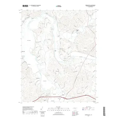 2019 Hurricane Mills2019 Print · USGSHumphreys County river valleys are documented here during the late 2010s, showing the confluence of the Duck River and Buffalo River. Researchers can trace family history through numerous remote burial sites like O'Donnilley Cem and Crockett Cem.
 - 2022 Map of Hurricane Mills, 2022 Print
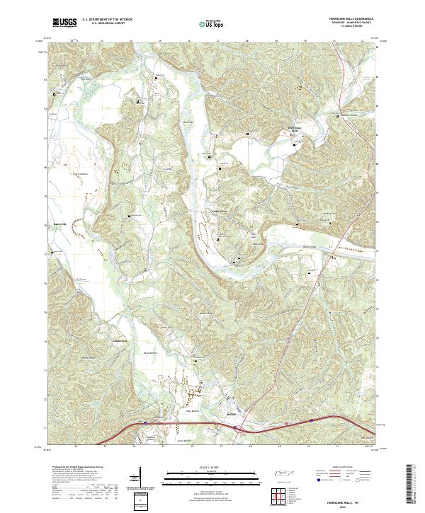 2022 Hurricane Mills2022 Print · USGSHumphreys County in the modern era remains defined by its deep Tennessee hollows and the sweeping bends of the Duck River. Researchers can trace generations of family history through dozens of rural burial sites like Crockett Cemetery and Pleasant Valley Cemetery or explore the river-driven geography of Hurricane Mills.
End of results
Showing maps 1-9 of 9
Top cities near Buffalo
- Waverly historical maps
- Camden historical maps
- New Johnsonville historical maps
- Lobelville historical maps
Frequently asked questions
- What are the different types of historical maps available for Buffalo?
- What is the oldest map of Buffalo?
- Where can I purchase historical maps of Buffalo for my home or office?
- Where can I download high-res historical maps of Buffalo?
- Are there historical topographic maps available for Buffalo?
- Is there historical aerial imagery available for Buffalo?
- Where are historical maps of Buffalo sourced from?