Old Maps of New Johnsonville, Tennessee
Explore 38 old maps of New Johnsonville, spanning from 1936 to today. These high-resolution historic maps reveal how streets, neighborhoods, landmarks, and natural features evolved over time — perfect for genealogy, metal detecting, research, and local history exploration.
What you can do with these maps:
- See how New Johnsonville changed over time: Compare historical maps to modern-day views to trace roads, homesites, rail lines & more.
- View detailed metadata: Each map includes creators, publishers, year, scale, and archive source.
- Overlay maps with satellite & LiDAR: Visualize the past alongside modern tools to explore terrain & human change.
- Trusted historical sources: Maps sourced from the USGS, Library of Congress, and other archives.
- Access maps your way: View online, download high-res files, or order prints for personal or research use.
Start exploring old maps of New Johnsonville to uncover forgotten places, hidden landmarks, and the deep history beneath your feet.
New Johnsonville, TN maps
(38)- 1936 Map of Camden
 1936 Camden1936 Print · USGSBenton County centers on the town of Camden during the mid-1930s, as the local economy transitioned through New Deal infrastructure projects. Genealogists can trace family roots through numerous rural landmarks like Missionary Grove Ch, Toll Chapel Sch, and the Bethlehem Cem near the river.
 - 1936 Map of Johnsonville
 1936 Johnsonville1936 Print · USGSThe Tennessee River corridor in Humphreys County comes alive in the mid-1930s, showing the intersection of rail and river commerce. Genealogists and local historians can trace family sites like Crockett Cem or visit vanished points like Reynoldsburg Landing and Eva Station.
 - 1936 Map of Rockport
 1936 Rockport1936 Print · USGSBenton County river life is captured here in the mid-1930s, showing a landscape defined by ferry crossings and upland farmsteads. Researchers can trace family sites at Trotters Ferry, Hardin Store, and schools like Tie Hill Sch.
 - 1936 Map of Hustburg
 1936 Hustburg1936 Print · USGSHumphreys and Benton Counties are shown in the mid-1930s just as the Tennessee Valley Authority began its extensive survey work along the river. Genealogists can trace family connections through river landings like Dixie Landing and rural landmarks such as Oak Grove Ch or Pavatt Sch.
 - 1949 Map of Hustburg, 1953 Print
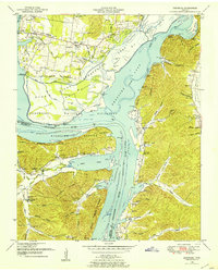 1949 Hustburg1953 Print · USGSHumphreys and Benton Counties are shown here during the transformative years following the filling of Kentucky Lake. Genealogists and local historians can locate dozens of family cemeteries and rural school sites like Tribble Sch and Byrd Sch.4 unique versions available
 - 1950 Map of Johnsonville, 1952 Print
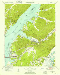 1950 Johnsonville1952 Print · USGSMid-century Tennessee geography is defined here by the creation of Kentucky Lake and the resulting relocation of river communities. Genealogists and historians can trace the transition from Old Johnsonville to New Johnsonville, alongside landmarks like Fairview Sch and Denver.4 unique versions available
 - 1950 Map of Rockport, 1953 Print
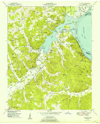 1950 Rockport1953 Print · USGSBenton and Humphreys counties are shown during the early years of the Kentucky Lake reservoir, where new shorelines met established rural communities. Researchers can locate family burial grounds like Hardin Cem or trace landmarks like Rockport Landing and Camp Mack Morris.4 unique versions available
 - 1950 Map of Camden, 1953 Print
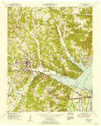 1950 Camden1953 Print · USGSMid-century Benton County shows the impact of the Tennessee Valley Authority's reservoir projects alongside the established hub of Camden. Genealogists can trace family names and rural life through landmarks like Toll Chapel School, Morris Chapel, and the Blanchard Cem.6 unique versions available
 - 1956 Map of Dyersburg, 1960 Print
 1956 Dyersburg1960 Print · USGSThe Four Rivers region comes alive in the mid-fifties, capturing the intricate borderlands of Tennessee, Kentucky, and Missouri. Genealogists and historians can trace the rail-and-river networks connecting Dyersburg, Caruthersville, and the shoreline of Reelfoot Lake.4 unique versions available
 - 1956 Map of Columbia, 1960 Print
 1956 Columbia1960 Print · USGSMiddle Tennessee in the mid-fifties presents a landscape of established river towns and critical rail hubs before the arrival of the modern interstate system. Researchers can trace the routes of the Louisville and Nashville railroad or locate historic landmarks like Stones River National Military Park and the Tennessee National Wildlife Refuge.6 unique versions available
 - 1956 Map of Blytheville, 1964 Print
 1956 Blytheville1964 Print · USGSWest Tennessee and the Arkansas Delta come alive in this mid-century survey of the river-and-rail corridor connecting Memphis to Jackson. Genealogists and historians can trace the rail lines of the Louisville and Nashville RR and locate landmarks like Western State Hospital or Fort Pillow State Prison Farm.2 unique versions available
 - 1956 Map of Nashville, 1971 Print
 1956 Nashville1971 Print · USGSThe Tennessee-Kentucky borderlands come into focus in the mid-1960s as major reservoir projects transformed the Cumberland and Tennessee river valleys. Researchers can trace the rail networks of the Louisville and Nashville and visit sites like Fort Campbell and Fort Donelson National Military Park.2 unique versions available
 - 1959 Map of Nashville
 1959 Nashville1959 Print · USGSMiddle Tennessee and Southern Kentucky come into focus during the late fifties, showing the region's transition into a modern transportation and military hub. Researchers can trace the sprawling Fort Campbell Military Reservation or locate historic rail stops along the Tennessee Central Ry and Illinois Central RR.
 - 1959 Map of Blytheville
 1959 Blytheville1959 Print · USGSWest Tennessee and Northeast Arkansas meet along the river in the late fifties, during a period of steady industrial and agricultural growth. Genealogists can trace the rail corridors of the Illinois Central through Jackson or explore landmarks like Shiloh National Military Park and Fort Pillow State Prison.
 - 1985 Map of Dickson
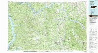 1985 Dickson1985 Print · USGSMid-Tennessee in the mid-1980s was defined by the intersection of the Cumberland and Tennessee rivers and a massive network of wildlife refuges. Researchers can trace the Seaboard System rail lines connecting Waverly, Dickson, and White Bluff, or locate old landmarks near Fort Donelson National Military Park.
 - 1986 Map of Hohenwald
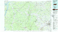 1986 Hohenwald1986 Print · USGSThe Western Highland Rim of Tennessee comes into focus during the mid-eighties, showing the deep river valleys and high ridges of Lewis and Perry counties. Researchers can trace the path of the Natchez Trace Parkway or locate interior settlements like Chestnut Grove, Farmers Exchange, and Hustburg.3 unique versions available
 - 1986 Map of McKenzie
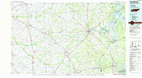 1986 McKenzie1986 Print · USGSWest Tennessee in the mid-eighties was a landscape defined by its deep river forks and the massive waters of Kentucky Lake. Researchers can trace the rail lines of the Louisville & Nashville RR and find local landmarks from Skullbone to the Paris Landing State Park.3 unique versions available
 - 1986 Map of Milan
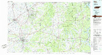 1986 Milan1986 Print · USGSWest Tennessee in the mid-eighties shows a landscape defined by industrial military sites and expansive state forests. Trace the rail lines of the Seaboard System RR, locate the Milan Arsenal, or explore the protected lands of Natchez Trace State Forest.2 unique versions available
 - 2010 Map of Rockport, 2010 Print
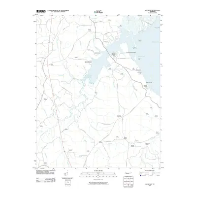 2010 Rockport2010 Print · USGSBenton County's river-front landscape is shown here at the turn of the millennium, centered on the inlets of Kentucky Lake. Researchers can trace old family burial grounds like Caney Fork Cemetery and discover landmarks such as the Russell Field Lookout Tower or Trotters Landing.
 - 2010 Map of Johnsonville, 2010 Print
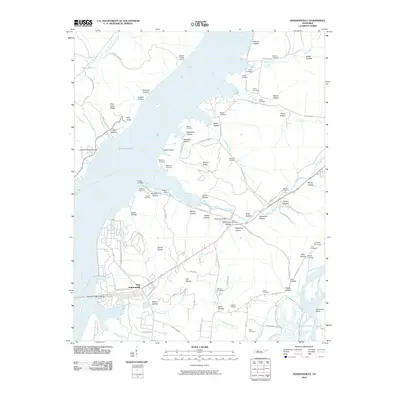 2010 Johnsonville2010 Print · USGSThe Tennessee River valley at Kentucky Lake is seen here in the early twenty-first century, anchored by the settlement of New Johnsonville. Genealogists and local historians can locate numerous family burial sites, including Crockett Cemetery and Napier Cemetery, alongside landmarks like the Denver Post Office.
 - 2010 Map of Camden, 2010 Print
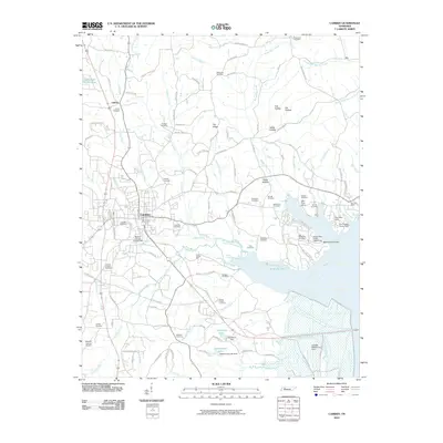 2010 Camden2010 Print · USGSBenton County centers on the town of Camden during the early twenty-first century, just west of the Kentucky Lake shoreline. Genealogists can trace family roots through dozens of local burial sites, including Old Bethlehem Cemetery and Liberty Cemetery.
 - 2010 Map of Hustburg, 2010 Print
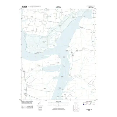 2010 Hustburg2010 Print · USGSThe convergence of the Tennessee and Duck Rivers defines this riverfront landscape at the turn of the twenty-first century. Genealogists and historians can trace numerous family-named landmarks including Byrd Cemetery, Cude Cemetery, and several river access points like McCallie Landing.
 - 2013 Map of Johnsonville, 2013 Print
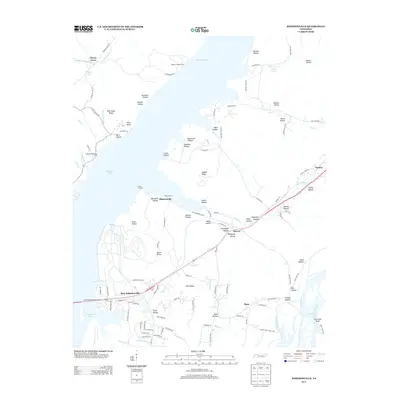 2013 Johnsonville2013 Print · USGSBenton and Humphreys County river life is captured here as the modern era meets traditional Tennessee bottomlands. Genealogists can trace family connections through numerous named landmarks like Spain Hollow, Seven Points, and the riverside Lucas Landing.
 - 2013 Map of Camden, 2013 Print
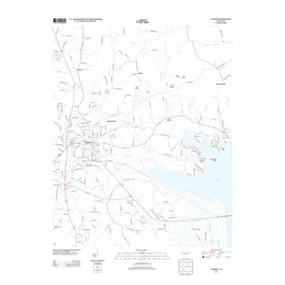 2013 Camden2013 Print · USGSBenton County in the early twenty-first century is defined by its relationship with the water and the growth of its county seat. Genealogists and researchers can trace local neighborhoods like Tin Cup or find landing spots along Kentucky Lake such as the Eva Fishing Camp Dock.
 - 2013 Map of Hustburg, 2013 Print
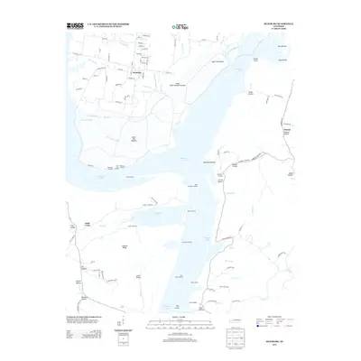 2013 Hustburg2013 Print · USGSThe Tennessee River shoreline in Humphreys County comes into focus here during the early twenty-first century. Researchers can trace the heritage of river travel through a series of historic points like Cuba Landing, Pavatt Landing, and the settlement at Hustburg.
Showing maps 1-25 of 38
Top cities near New Johnsonville
Frequently asked questions
- What are the different types of historical maps available for New Johnsonville?
- What is the oldest map of New Johnsonville?
- Where can I purchase historical maps of New Johnsonville for my home or office?
- Where can I download high-res historical maps of New Johnsonville?
- Are there historical topographic maps available for New Johnsonville?
- Is there historical aerial imagery available for New Johnsonville?
- Where are historical maps of New Johnsonville sourced from?