Old Maps of Hurricane Mills, Tennessee for Hiking & Exploration
Hike through history with 9 historic maps of Hurricane Mills. Explore old trails, ghost towns, and forgotten backroads — perfect for outdoor adventurers and local explorers.
- Rediscover forgotten places: Map out old mining camps, roads, and footpaths that no longer exist on modern maps.
- Layer with modern tools: Combine with LiDAR or satellite views to plan hikes through historical terrain.
- Made for exploration: Popular among hikers, overlanders, and local history lovers.
Use these maps to find adventure and explore the hidden past of Hurricane Mills.
Hurricane Mills, TN maps
(9)- 1936 Map of Hurricane Mills
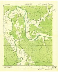 1936 Hurricane Mills1936 Print · USGSHumphreys County in the mid-1930s is a landscape defined by the winding paths of the Duck and Buffalo Rivers. Genealogists and local historians can trace the foundations of these river communities through family-named landmarks like Williams Cem, early education at Pegram Sch, and river crossings at Tanksley Bridge.
 - 1950 Map of Hurricane Mills, 1953 Print
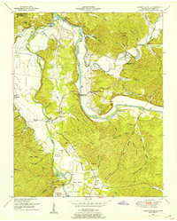 1950 Hurricane Mills1953 Print · USGSThe Tennessee river country in the early fifties shows a landscape of river-bottom farming and ridge-top settlements. Researchers can trace family history through numerous rural landmarks like Hurricane Mills School, Bone Cem, and the river crossing at Tanksley Bridge.2 unique versions available
 - 1956 Map of Columbia, 1960 Print
 1956 Columbia1960 Print · USGSMiddle Tennessee in the mid-fifties presents a landscape of established river towns and critical rail hubs before the arrival of the modern interstate system. Researchers can trace the routes of the Louisville and Nashville railroad or locate historic landmarks like Stones River National Military Park and the Tennessee National Wildlife Refuge.6 unique versions available
 - 1986 Map of Hohenwald
 1986 Hohenwald1986 Print · USGSThe Western Highland Rim of Tennessee comes into focus during the mid-eighties, showing the deep river valleys and high ridges of Lewis and Perry counties. Researchers can trace the path of the Natchez Trace Parkway or locate interior settlements like Chestnut Grove, Farmers Exchange, and Hustburg.3 unique versions available
 - 2010 Map of Hurricane Mills, 2010 Print
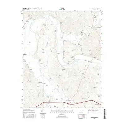
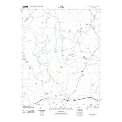 2010 Hurricane Mills2010 Print · USGSCovers Hurricane Mills, including Bakerville, Caigletown, and other nearby areas
 - 2013 Map of Hurricane Mills, 2013 Print
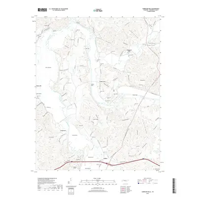
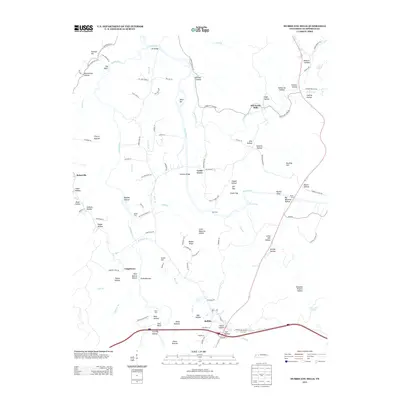 2013 Hurricane Mills2013 Print · USGSCovers Hurricane Mills, including Bakerville, Caigletown, and other nearby areas
 - 2016 Map of Hurricane Mills, 2016 Print
 2016 Hurricane Mills2016 Print · USGSCovers Hurricane Mills, including Bakerville, Caigletown, and other nearby areas
 - 2019 Map of Hurricane Mills, 2019 Print
 2019 Hurricane Mills2019 Print · USGSCovers Hurricane Mills, including Bakerville, Caigletown, and other nearby areas
 - 2022 Map of Hurricane Mills, 2022 Print
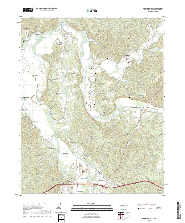 2022 Hurricane Mills2022 Print · USGSHumphreys County in the modern era remains defined by its deep Tennessee hollows and the sweeping bends of the Duck River. Researchers can trace generations of family history through dozens of rural burial sites like Crockett Cemetery and Pleasant Valley Cemetery or explore the river-driven geography of Hurricane Mills.
End of results
Showing maps 1-9 of 9
Top cities near Hurricane Mills
- Waverly historical maps
- Camden historical maps
- New Johnsonville historical maps
- Lobelville historical maps
Frequently asked questions
- What are the different types of historical maps available for Hurricane Mills?
- What is the oldest map of Hurricane Mills?
- Where can I purchase historical maps of Hurricane Mills for my home or office?
- Where can I download high-res historical maps of Hurricane Mills?
- Are there historical topographic maps available for Hurricane Mills?
- Is there historical aerial imagery available for Hurricane Mills?
- Where are historical maps of Hurricane Mills sourced from?