Old Maps of Gainesboro, Tennessee for Metal Detecting
Plan your next treasure hunt with 17 historic maps of Gainesboro. Find old homesites, ghost towns, trails, and gathering spots that may be lost to time — perfect for identifying promising metal detecting locations.
- Locate forgotten sites: Uncover places like long-lost settlements, abandoned rail lines, or gathering spots.
- Plan better hunts: Use map overlays combined with LiDAR or satellite views to narrow in on historically rich areas.
- Made for detectorists: Thousands of hobbyists use these maps to discover relics, coins, and hidden history.
Use these historic maps to boost your research and find new opportunities beneath the surface of Gainesboro.
Gainesboro, TN maps
(17)- 1925 Map of Gainesboro, 1954 Print
 1925 Gainesboro1954 Print · USGSJackson County, Tennessee, is captured here in the mid-1920s when the river and hollows defined every community boundary. Genealogists can trace family landmarks and vanished river crossings like Gainesboro Ferry, Cummins Mill, and the Free State Sch.
 - 1929 Map of Gainesboro
 1929 Gainesboro1929 Print · USGSJackson County in the late twenties was defined by its river-and-rail economy and upland settlements. Researchers can trace historic river crossings like Gainesboro Ferry and find family-named landmarks such as Cummins Mill and Butlers Landing.2 unique versions available
 - 1956 Map of Corbin, 1966 Print
 1956 Corbin1966 Print · USGSThe Kentucky and Tennessee borderlands are captured here in the mid-fifties, showing the region's shift toward modern interstate travel and reservoir development. Genealogists and historians can trace old community lines near Albany and Monticello or locate early rail junctions along the Southern and Tennessee Central lines.3 unique versions available
 - 1958 Map of Corbin
 1958 Corbin1958 Print · USGSThe Upper Cumberland borderlands appear in the late 1950s as massive reservoirs and early atomic-era growth reshape the region. Trace family roots and vanished landmarks near Lake Cumberland, Oak Ridge, and the Cumberland National Forest.
 - 1968 Map of Whitleyville, 1970 Print
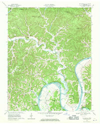 1968 Whitleyville1970 Print · USGSJackson County and Clay County communities are captured here in the late sixties along the winding Cumberland. Trace family roots and local landmarks from Whitleyville to Haydenburg, including Willow Grove Ch and the Draper-Naff Cem.2 unique versions available
 - 1968 Map of Gainesboro, 1970 Print
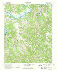 1968 Gainesboro1970 Print · USGSJackson County is shown here in the late sixties, where the winding Cumberland River meets the rural highlands. Local historians can trace family roots through settlements like Nameless and Flynns Lick, or locate the old Poorhouse and Richmond Chapel.3 unique versions available
 - 1982 Map of Cookeville, 1983 Print
 1982 Cookeville1983 Print · USGSThe Upper Cumberland region comes into focus during the early eighties as Cookeville and its surrounding counties adapt to new reservoirs and highways. Researchers can trace the Louisville and Nashville rail line and locate landmarks like Tennessee Technological University and Standing Stone State Forest.
 - 2010 Map of Whitleyville, 2010 Print
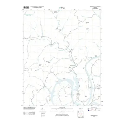 2010 Whitleyville2010 Print · USGSJackson County, Tennessee, is mapped here in the early twenty-first century as the reservoir landscape meets the rugged hollows of the Cumberland plateau. Family researchers can locate remote landmarks like Aunt Sal Hollow, the Clark Cemetery, and the Whitleyville Post Office.
 - 2010 Map of Gainesboro, 2010 Print
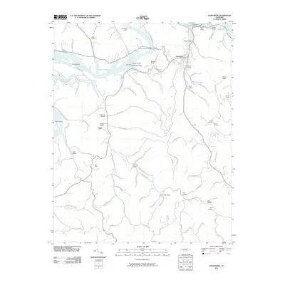 2010 Gainesboro2010 Print · USGSGainesboro and the surrounding Jackson County ridges are shown here in the years following the creation of Cordell Hull Reservoir. Trace local family history through named hollows and rural cemeteries like Dudney Cemetery or explore river landmarks including Fort Blount Ferry.
 - 2013 Map of Gainesboro, 2013 Print
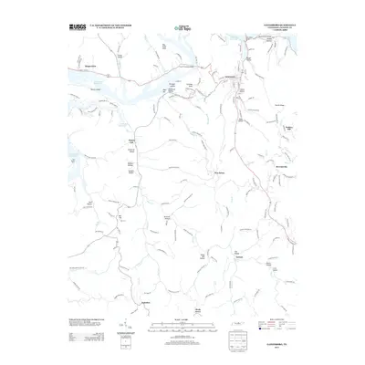 2013 Gainesboro2013 Print · USGSGainesboro and the surrounding Jackson County hollows are captured here during the early twenty-first century. Genealogists can trace family landmarks and rural communities from Nameless and Flynns Lick to the historic Fort Blount Ferry and Brown Cemetery.
 - 2013 Map of Whitleyville, 2013 Print
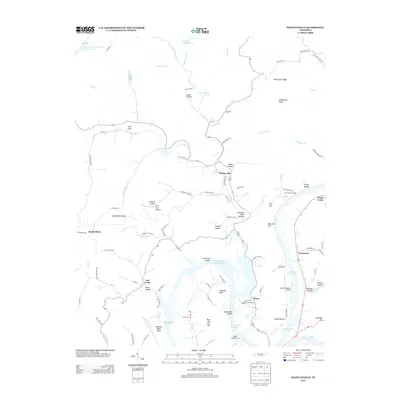 2013 Whitleyville2013 Print · USGSJackson County at the start of the decade shows a landscape shaped by the Cordell Hull Reservoir and deep-seated rural traditions. Genealogists can trace family names through landmarks like McCormick Ridge and the settlements of Whitleyville and Stone.
 - 2016 Map of Gainesboro, 2016 Print
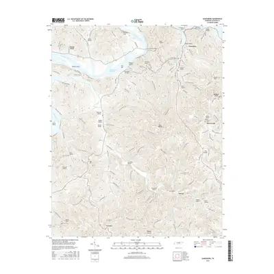 2016 Gainesboro2016 Print · USGSGainesboro and the surrounding Jackson County highlands are captured here in the mid-2010s, showcasing a landscape of deep hollows and reservoir waters. Local historians can trace family-named landmarks and rural settlements like Nameless, McCoinsville, and several family plots including Pharris Cem.
 - 2016 Map of Whitleyville, 2016 Print
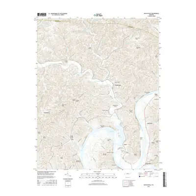 2016 Whitleyville2016 Print · USGSJackson County, Tennessee, is shown here as a landscape of deep hollows and river bends along the Cumberland. Researchers can trace family roots at Draper Naff Cem and Cub Creek Ch or locate the old community centers of Whitleyville and Stone.
 - 2019 Map of Gainesboro, 2019 Print
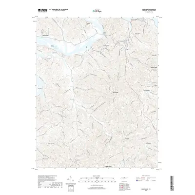 2019 Gainesboro2019 Print · USGSThe hills of Jackson County are captured here in the late twenty-tens, showing the rural character of Gainesboro and its surrounding hollows. Researchers can locate family landmarks like Dudney Cem, Pharris Cem, and the uniquely named settlement of Nameless.
 - 2019 Map of Whitleyville, 2019 Print
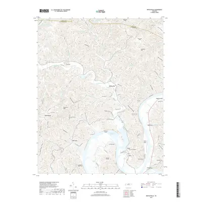 2019 Whitleyville2019 Print · USGSJackson County, Tennessee, is captured here in recent years, showing the traditional crossroads and river landings that define the Cumberland Plateau's edge. Genealogists can locate family burial sites like Toney Cem and Cub Creek Cem near the shores of Cordell Hull Reservoir.
 - 2022 Map of Whitleyville, 2022 Print
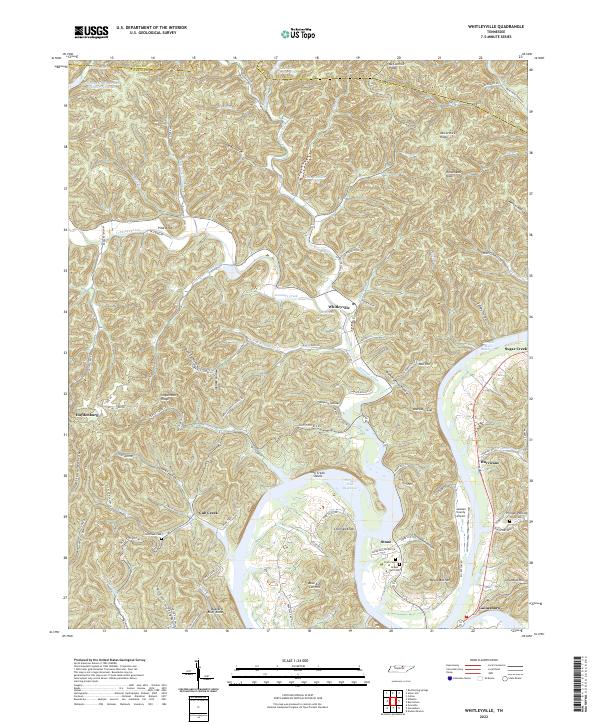 2022 Whitleyville2022 Print · USGSJackson County at the start of the 2020s shows a landscape defined by the winding waters of the Cordell Hull Reservoir and steep ridge-and-hollow terrain. Researchers can locate historic rural burial grounds like Clark Cem and trace old routes through Moccasin Gap and the community of Whitleyville.
 - 2022 Map of Gainesboro, 2022 Print
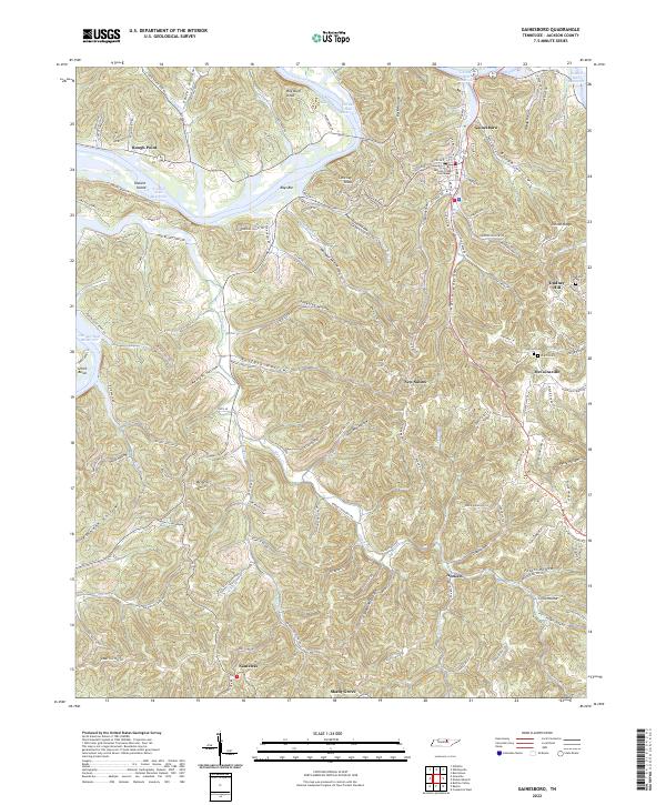 2022 Gainesboro2022 Print · USGSGainesboro and the surrounding Jackson County hollows are captured here as they appeared in the early 2020s. Researchers can trace rural family roots through landmarks like Nameless, Stafford Cem, and the Jackson County Courthouse.
End of results
Showing maps 1-17 of 17
Top cities near Gainesboro
- Cookeville historical maps
- Algood historical maps
- Celina historical maps
- Baxter historical maps
- Red Boiling Springs historical maps
Frequently asked questions
- What are the different types of historical maps available for Gainesboro?
- What is the oldest map of Gainesboro?
- Where can I purchase historical maps of Gainesboro for my home or office?
- Where can I download high-res historical maps of Gainesboro?
- Are there historical topographic maps available for Gainesboro?
- Is there historical aerial imagery available for Gainesboro?
- Where are historical maps of Gainesboro sourced from?