Old Maps of North Springs, Tennessee
Explore 10 old maps of North Springs, spanning from 1932 to today. These high-resolution historic maps reveal how streets, neighborhoods, landmarks, and natural features evolved over time — perfect for genealogy, metal detecting, research, and local history exploration.
What you can do with these maps:
- See how North Springs changed over time: Compare historical maps to modern-day views to trace roads, homesites, rail lines & more.
- View detailed metadata: Each map includes creators, publishers, year, scale, and archive source.
- Overlay maps with satellite & LiDAR: Visualize the past alongside modern tools to explore terrain & human change.
- Trusted historical sources: Maps sourced from the USGS, Library of Congress, and other archives.
- Access maps your way: View online, download high-res files, or order prints for personal or research use.
Start exploring old maps of North Springs to uncover forgotten places, hidden landmarks, and the deep history beneath your feet.
North Springs, TN maps
(10)- 1932 Map of Carthage
 1932 Carthage1932 Print · USGSNorth Central Tennessee comes alive in the early 1930s as the Cumberland River winds past the county seat of Carthage. Genealogists and researchers can trace family roots through numerous country schools and landmarks like Holliman Ferry and Difficult.3 unique versions available
 - 1956 Map of Corbin, 1966 Print
 1956 Corbin1966 Print · USGSThe Kentucky and Tennessee borderlands are captured here in the mid-fifties, showing the region's shift toward modern interstate travel and reservoir development. Genealogists and historians can trace old community lines near Albany and Monticello or locate early rail junctions along the Southern and Tennessee Central lines.3 unique versions available
 - 1958 Map of Corbin
 1958 Corbin1958 Print · USGSThe Upper Cumberland borderlands appear in the late 1950s as massive reservoirs and early atomic-era growth reshape the region. Trace family roots and vanished landmarks near Lake Cumberland, Oak Ridge, and the Cumberland National Forest.
 - 1968 Map of Willette, 1970 Print
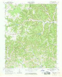 1968 Willette1970 Print · USGSThe hills of Jackson and Macon counties are shown here in the late sixties just before the landscape was changed by the Cordell Hull Reservoir. Genealogists can trace family sites like Thomas Cem, Hayden, and the Wartrace Sch among the winding hollows.
 - 1982 Map of Cookeville, 1983 Print
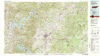 1982 Cookeville1983 Print · USGSThe Upper Cumberland region comes into focus during the early eighties as Cookeville and its surrounding counties adapt to new reservoirs and highways. Researchers can trace the Louisville and Nashville rail line and locate landmarks like Tennessee Technological University and Standing Stone State Forest.
 - 2010 Map of Willette, 2010 Print
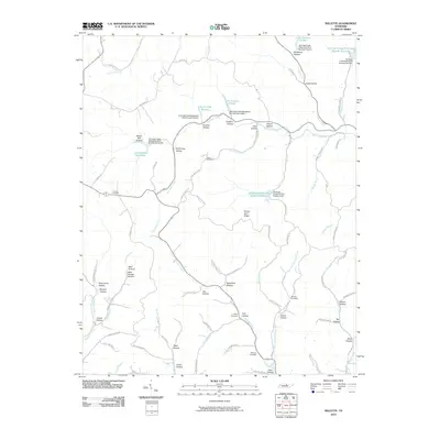 2010 Willette2010 Print · USGSMacon County's intricate network of ridges and hollows is captured here in the early twenty-first century. Researchers can trace the legacy of local families through landmarks like Minchey Cemetery, Thomas Cemetery, and the historically suggestive Steam Mill Hollow.
 - 2013 Map of Willette, 2013 Print
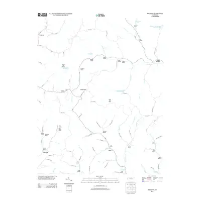 2013 Willette2013 Print · USGSThe rural Tennessee uplands near Willette and North Springs are defined here by an intricate web of family-named hollows and creek-side settlements. Genealogists and historians can trace old homesteads and local roads through Steam Mill Hollow, Sycamore Bottom, and the community of Prosperity.
 - 2016 Map of Willette, 2016 Print
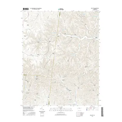 2016 Willette2016 Print · USGSThe rural crossroads and deep hollows of Middle Tennessee come into focus during this mid-2010s survey. Genealogists and local historians can trace family burial sites like Wartrace Cem and Draper Cem or locate old settlements at Goose Horn and Prosperity.
 - 2019 Map of Willette, 2019 Print
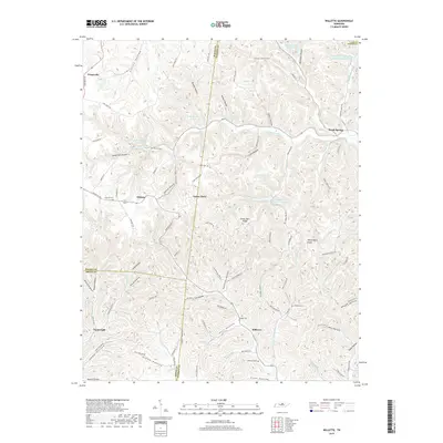 2019 Willette2019 Print · USGSUpper Middle Tennessee in the late twenty-teens is a landscape of winding hollows and quiet crossroads settlements. Researchers can trace family history through sites like Thomas Cem or explore the drainage of Jennings Creek near Goose Horn and Willette.
 - 2022 Map of Willette, 2022 Print
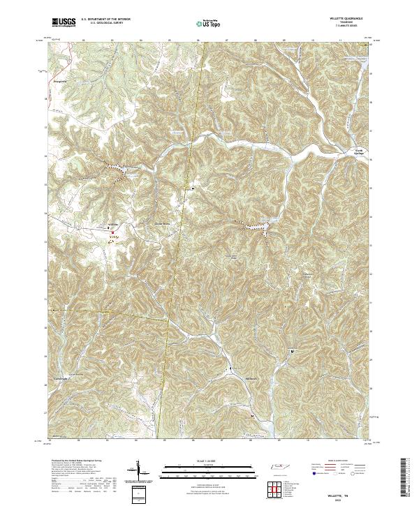 2022 Willette2022 Print · USGSUpper Middle Tennessee hill country is captured here in the early twenty-first century where Macon, Jackson, and Smith counties meet. Researchers can trace family history through numerous rural burials like Thomas Cemetery and Clark Cemetery, or explore the deep hollows of Willette and North Springs.
End of results
Showing maps 1-10 of 10
Top cities near North Springs
- Tompkinsville historical maps
- Carthage historical maps
- South Carthage historical maps
- Red Boiling Springs historical maps
- Gainesboro historical maps
- Gamaliel historical maps
Frequently asked questions
- What are the different types of historical maps available for North Springs?
- What is the oldest map of North Springs?
- Where can I purchase historical maps of North Springs for my home or office?
- Where can I download high-res historical maps of North Springs?
- Are there historical topographic maps available for North Springs?
- Is there historical aerial imagery available for North Springs?
- Where are historical maps of North Springs sourced from?