Old Maps of Mascot, Tennessee for Genealogy
Trace your family roots with 28 historic maps of Mascot. These high-res maps reveal old neighborhoods, homesites, landmarks, and streets — helping you uncover where your ancestors lived and how the area evolved over time.
- Explore historic neighborhoods: Identify where your relatives may have lived in the 1800s or 1900s.
- Compare maps over time: Trace the changes in streets, buildings, and landmarks for multi-generational research.
- Perfect for genealogy & ancestry research: Used by family historians and researchers to map out lineage and migration.
These maps are an incredible resource for exploring your personal connection to Mascot's past.
Mascot, TN maps
(28)- 1897 Map of Maynardville
 1897 Maynardville1897 Print · USGSEast Tennessee in the late nineteenth century was a landscape of high ridges and vital river fords. Genealogists and historians can trace old homesteads and transit hubs like Nances Ferry, the Lead Mine at New Prospect, and Massongills Mill.
 - 1900 Map of Maynardville
 1900 Maynardville1900 Print · USGSEast Tennessee was a world of river fords and mountain gaps at the turn of the century, dominated by the winding Clinch and Powell rivers. Genealogists can trace family roots through specific landmarks like Massongills Mill, Church Grove, and Sharps Chapel.4 unique versions available
 - 1935 Map of Mascot
 1935 Mascot1935 Print · USGSEast Tennessee during the mid-thirties reveals a landscape of river-bend farms and developing transit corridors along the Holston River. Genealogists and historians can trace family locations near Smith Mill, Howell Cem, and rural schoolhouses like Cynthiana Sch.
 - 1935 Map of Straw Plains
 1935 Straw Plains1935 Print · USGSEast Tennessee life in the mid-1930s is centered on the winding Holston River and the bustling Southern railroad corridor. Researchers can trace family roots at Hickle Cem, find the site of Massengale Mill, or locate Indian Cave.
 - 1936 Map of Gorryton
 1936 Gorryton1936 Print · USGSNortheast of Knoxville in the mid-1930s, the landscape was being reshaped by the newly flooded Norris Reservoir. Genealogists and historians can trace numerous rural landmarks, including Welch Mill, Big Ridge Park Cemetery, and the Southern Railway corridor.
 - 1936 Map of John Sevier
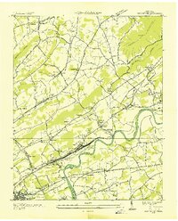 1936 John Sevier1936 Print · USGSKnox County is captured here in the mid-thirties, showing the vital rail and river corridor east of Knoxville during the early TVA era. Researchers can trace family sites from Maloneyville to Mascot, locating landmarks like the Legg England Cem, John Sevier Sta, and Rising Sun Ch.
 - 1938 Map of Mascot
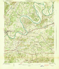 1938 Mascot1938 Print · USGSIn the late 1930s, the Holston River wound through a landscape of family-owned land and small railroad towns east of Knoxville. Researchers can trace ancestral roots through family-named landmarks like Crawford Cem and the Carter Mill.
 - 1940 Map of John Sevier
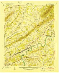 1940 John Sevier1940 Print · USGSKnox County at the start of the 1940s is defined by the Holston River and the industrial activity of the Southern railroad. Trace family sites like Clapps Chapel, the County Workhouse, and Ruggles Ferry Bridge before the landscape was fully reshaped by modern expansion.2 unique versions available
 - 1953 Map of John Sevier, 1954 Print
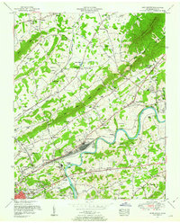 1953 John Sevier1954 Print · USGSKnox County is captured in the early fifties as the river-and-rail economy defined the eastern edge of Knoxville. Researchers can trace family history through dozens of landmarks, including John Sevier Station, the Potters Field Cemetery, and the Rising Sun School.2 unique versions available
 - 1953 Map of Mascot, 1958 Print
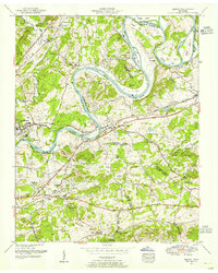 1953 Mascot1958 Print · USGSEast Tennessee river life and rail industry are captured here in the mid-fifties as the Andrew Johnson Highway was first being built. Genealogists and historians can trace family roots through numerous landmarks like Carter Mill, Wyricktown, and the McBee Cemetery.
 - 1955 Map of Johnson City
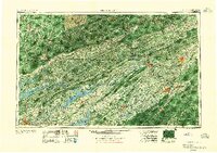 1955 Johnson City1955 Print · USGSEast Tennessee and the bordering highlands of Virginia and Kentucky appear here during the post-war industrial boom. You can trace the complex network of mountain ridges and new TVA lakes, from Johnson City to the coalfields near Middlesboro and Lynch.
 - 1957 Map of Johnson City, 1966 Print
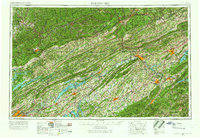 1957 Johnson City1966 Print · USGSUpper East Tennessee and Southwest Virginia are shown here during the mid-sixties transition of the Appalachians. Researchers can trace the industrial rail hubs of Kingsport, the sprawling waters of Cherokee Lake, and the historic Cumberland Gap.
 - 1960 Map of Johnson City
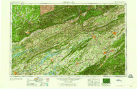 1960 Johnson City1960 Print · USGSUpper East Tennessee and the surrounding tri-state area are shown in the mid-fifties during the height of the TVA reservoir era. Trace the industrial rail lines of the Southern and Louisville and Nashville between Kingsport and Johnson City.
 - 1963 Map of Johnson City
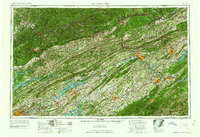 1963 Johnson City1963 Print · USGSThe Tri-Cities and the surrounding Appalachian ridges are shown in detail during the early sixties, highlighting the era's vital rail and river networks. Genealogists and historians can trace the routes of the Clinchfield RR and locate settlements from Rogersville to Elizabethton.
 - 1966 Map of Mascot, 1968 Print
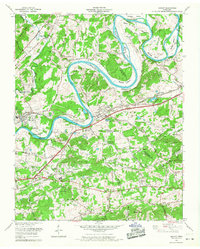 1966 Mascot1968 Print · USGSEast Tennessee's river bends and rail lines are captured here in the mid-1960s as industrial and rural life centered on the Holston River. Genealogists can trace family names through dozens of sites like Walker Cem, Wyricktown, and the Zinc Mine at Mascot.4 unique versions available
 - 1966 Map of John Sevier, 1968 Print
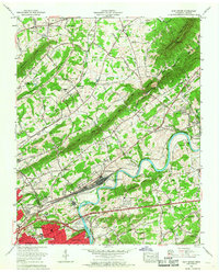 1966 John Sevier1968 Print · USGSNortheast of Knoxville in the mid-1960s, the Holston River valley served as a critical nexus for industrial rail and rural community life. Researchers can trace family sites like Maloneyville Cem, locate the old County farm, or explore the rail yards at John Sevier.
 - 1978 Map of John Sevier
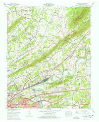 1978 John Sevier1978 Print · USGSThe Tennessee Valley northeast of Knoxville comes alive in the late seventies, showing a landscape shaped by the Holston River and heavy rail operations. Genealogists can trace family names at Old Poor Farm Cem or Shell Cem and locate historic rural hubs like Maloneyville.2 unique versions available
 - 1981 Map of Morristown
 1981 Morristown1981 Print · USGSEast Tennessee's ridge-and-valley corridor is captured here in the early eighties, showing the region's transformation by TVA reservoirs. Genealogists and historians can trace family locations near Alpha Ch, follow the Southern Railway, or locate the Young Mine.
 - 2010 Map of Mascot, 2010 Print
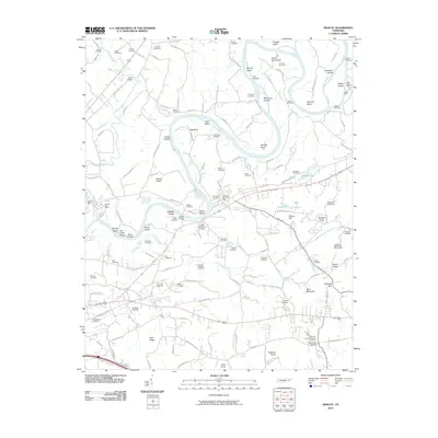 2010 Mascot2010 Print · USGSEast of Knoxville in the early twenty-first century, this landscape is defined by the winding Holston River and its long-established mining and farming communities. Researchers can trace family history through sites like Paw Paw Hollow or locate the Mascot Mine and McBee Ford.
 - 2010 Map of John Sevier, 2010 Print
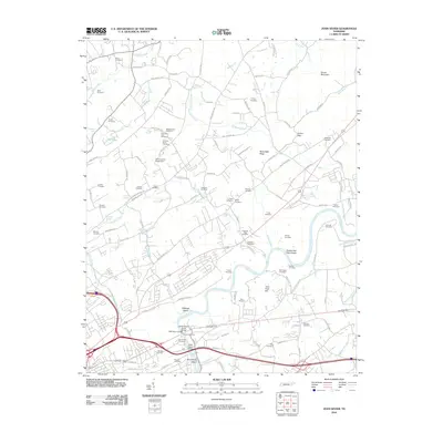 2010 John Sevier2010 Print · USGSThe Holston River valley northeast of Knoxville is captured here in the early twenty-first century, showing a landscape defined by its deep genealogical roots. Researchers can trace dozens of family burial sites like Old Poor Farm Cemetery and river landmarks such as Double Fish Trap Shoals.
 - 2013 Map of John Sevier, 2013 Print
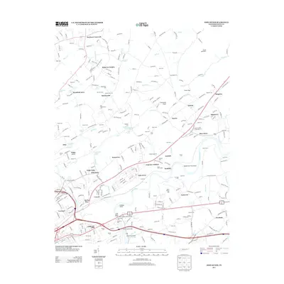 2013 John Sevier2013 Print · USGSKnox County east of Knoxville remains a landscape of ridges and river bends in the early twenty-first century. Genealogists and local historians can locate many family burial grounds like Shell Cem and Trout Cem, plus landmarks like the Knox County Penal Farm.
 - 2013 Map of Mascot, 2013 Print
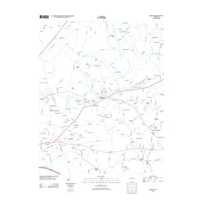 2013 Mascot2013 Print · USGSThe Holston River corridor east of Knoxville reveals a landscape of family-named bends and early river crossings. Genealogists and historians can trace numerous burial sites like McMillan Cem and settlements such as Strawberry Plains and Trentville.
 - 2016 Map of Mascot, 2016 Print
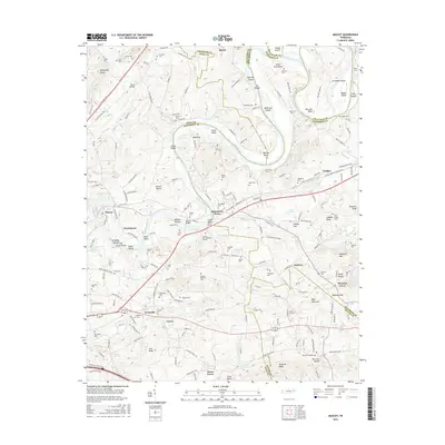 2016 Mascot2016 Print · USGSCrossing the Holston River east of Knoxville in the early twenty-first century, this area reveals a landscape deeply rooted in family history and river commerce. Genealogists can locate scores of burial sites like McBee Cem and trace old routes through Strawberry Plains and Mascot.
 - 2016 Map of John Sevier, 2016 Print
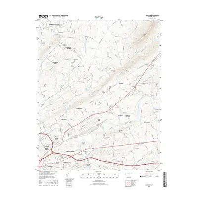 2016 John Sevier2016 Print · USGSKnox County, Tennessee, is shown here in the mid-2010s, capturing the suburban expansion of Knoxville and its rural outskirts. Genealogists and local historians can trace family roots through numerous sites like Old Poor Farm Cem, Harbison Crossroads, and the Holston River islands.
 - 2019 Map of Mascot, 2019 Print
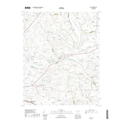 2019 Mascot2019 Print · USGSKnox and Jefferson counties come alive in this recent look at the Holston River valley, where ancient river bends meet modern settlements. Genealogists and historians can trace numerous family burial sites like McMillan Cem and landmarks such as Mascot Rocks or Baker Spring.
Showing maps 1-25 of 28
Top cities near Mascot
- Knoxville historical maps
- Sevierville historical maps
- Halls Crossroads historical maps
- Alcoa historical maps
- Maynardville historical maps
- Strawberry Plains historical maps
See more
Top neighborhoods of Mascot
Frequently asked questions
- What are the different types of historical maps available for Mascot?
- What is the oldest map of Mascot?
- Where can I purchase historical maps of Mascot for my home or office?
- Where can I download high-res historical maps of Mascot?
- Are there historical topographic maps available for Mascot?
- Is there historical aerial imagery available for Mascot?
- Where are historical maps of Mascot sourced from?