Old Maps of Summertown, Tennessee for Hiking & Exploration
Hike through history with 9 historic maps of Summertown. Explore old trails, ghost towns, and forgotten backroads — perfect for outdoor adventurers and local explorers.
- Rediscover forgotten places: Map out old mining camps, roads, and footpaths that no longer exist on modern maps.
- Layer with modern tools: Combine with LiDAR or satellite views to plan hikes through historical terrain.
- Made for exploration: Popular among hikers, overlanders, and local history lovers.
Use these maps to find adventure and explore the hidden past of Summertown.
Summertown, TN maps
(9)- 1936 Map of Crestview
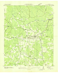 1936 Crestview1936 Print · USGSThe Lawrence County highlands in the mid-1930s reveal a landscape shaped by the Louisville and Nashville Railroad and early rural electrification. Local historians can trace family roots through landmarks like Porter Chapel Sch, Pleasant Garden Ch, and the settlement of Rockdale.
 - 1951 Map of Summertown, 1956 Print
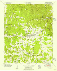 1951 Summertown1956 Print · USGSSummertown and the surrounding Lawrence County uplands are shown here in the early fifties, caught between old agrarian roots and mid-century transit growth. Trace family history at Hinestown Ch, Porter Chapel, or the old Brace Sch near the Buffalo River.3 unique versions available
 - 1956 Map of Columbia, 1960 Print
 1956 Columbia1960 Print · USGSMiddle Tennessee in the mid-fifties presents a landscape of established river towns and critical rail hubs before the arrival of the modern interstate system. Researchers can trace the routes of the Louisville and Nashville railroad or locate historic landmarks like Stones River National Military Park and the Tennessee National Wildlife Refuge.6 unique versions available
 - 1985 Map of Lawrenceburg
 1985 Lawrenceburg1985 Print · USGSMiddle Tennessee and Northern Alabama are captured in the mid-1980s, showcasing a landscape of high ridges and winding river valleys. Genealogists and historians can trace rail lines like the Seaboard System Railroad or locate community landmarks such as Saint Marys Church and Three Churches.2 unique versions available
 - 2010 Map of Summertown, 2010 Print
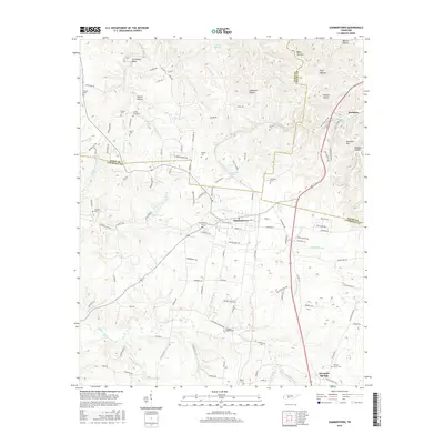
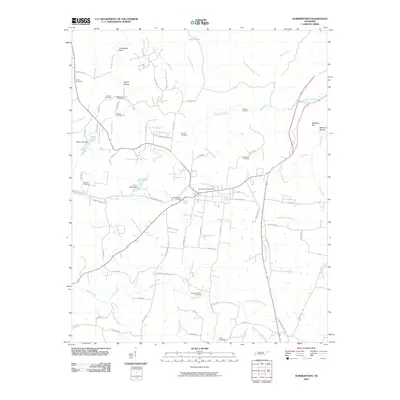 2010 Summertown2010 Print · USGSCovers Summertown, including The Farm, Crestview, and other nearby areas
 - 2013 Map of Summertown, 2013 Print
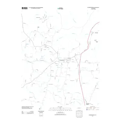 2013 Summertown2013 Print · USGSCovers Summertown, including The Farm, Crestview, and other nearby areas
 - 2016 Map of Summertown, 2016 Print
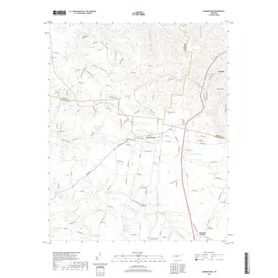
 2016 Summertown2016 Print · USGSCovers Summertown, including The Farm, Crestview, and other nearby areas
 - 2019 Map of Summertown, 2019 Print
 2019 Summertown2019 Print · USGSCovers Summertown, including The Farm, Crestview, and other nearby areas
 - 2022 Map of Summertown, 2022 Print
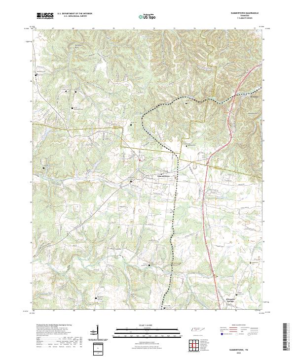 2022 Summertown2022 Print · USGSSummertown and the Highland Rim headwaters come to life in this recent study of the Tennessee backcountry. Genealogists can trace family connections through a high density of burial sites like Colbert Cem and Shrader Cem, while hikers can locate Rattlesnake Falls.
End of results
Showing maps 1-9 of 9
Top cities near Summertown
- Columbia historical maps
- Lawrenceburg historical maps
- Mount Pleasant historical maps
- Hohenwald historical maps
- Ethridge historical maps
- The Farm historical maps
Frequently asked questions
- What are the different types of historical maps available for Summertown?
- What is the oldest map of Summertown?
- Where can I purchase historical maps of Summertown for my home or office?
- Where can I download high-res historical maps of Summertown?
- Are there historical topographic maps available for Summertown?
- Is there historical aerial imagery available for Summertown?
- Where are historical maps of Summertown sourced from?