Old Maps of Milledgeville, Tennessee for Metal Detecting
Plan your next treasure hunt with 31 historic maps of Milledgeville. Find old homesites, ghost towns, trails, and gathering spots that may be lost to time — perfect for identifying promising metal detecting locations.
- Locate forgotten sites: Uncover places like long-lost settlements, abandoned rail lines, or gathering spots.
- Plan better hunts: Use map overlays combined with LiDAR or satellite views to narrow in on historically rich areas.
- Made for detectorists: Thousands of hobbyists use these maps to discover relics, coins, and hidden history.
Use these historic maps to boost your research and find new opportunities beneath the surface of Milledgeville.
Milledgeville, TN maps
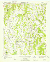
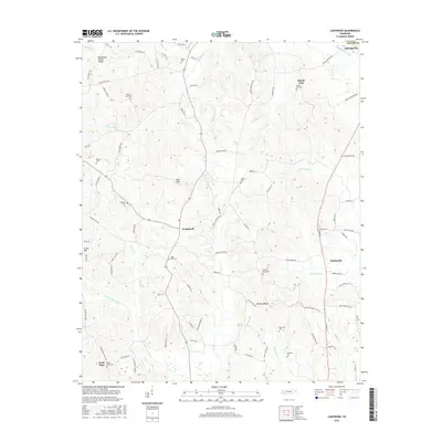
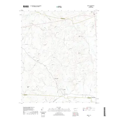
(31)- 1936 Map of Leapwood
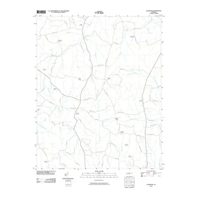
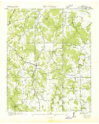 1936 Leapwood1936 Print · USGSMcNairy County communities and Tennessee Valley Authority power projects are captured here in the mid-1930s. Trace local family history through numerous schools and churches like Leapwood Sch, Mars Hill Ch, and Hardin Beauty Sch.
 - 1936 Map of Sardis
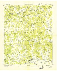
 1936 Sardis1936 Print · USGSWest Tennessee rural life is documented here during the mid-1930s as the regional electrical grid began to expand across the landscape. Genealogists and local historians can locate early landmarks such as Taylors Store, New Hurricane Ch, and the Tri County Sch near the county lines.
 - 1936 Map of Milledgeville
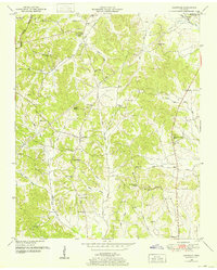
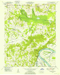
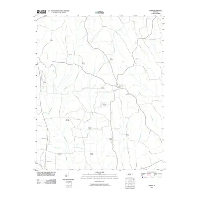
 1936 Milledgeville1936 Print · USGSNear the Tennessee River in the mid-1930s, this area of West Tennessee reveals a landscape shaped by river landings and extensive drainage projects. Genealogists and historians can trace community roots through Sweeney Cem, Morris Chapel, and schools like Rock Spring Sch.
 - 1936 Map of Enville
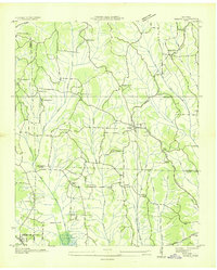
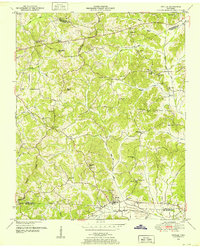
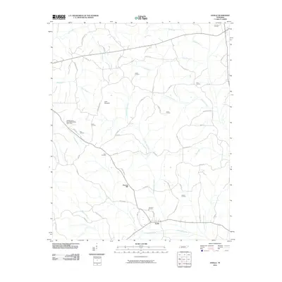
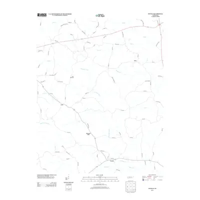
 1936 Enville1936 Print · USGSThe crossroads of West Tennessee are captured here in the mid-1930s as rural life centered on local schools and churches. Researchers can pinpoint long-standing community hubs like Enville, Pleasant Hill Ch, and the Cherry Cem.
 - 1949 Map of Leapwood, 1952 Print
 1949 Leapwood1952 Print · USGSMcNairy County just before the mid-century mark shows a landscape of ridge-top farms and creek-bottom drainage projects. Genealogists can locate family landmarks like Baucum Cem, Hardin Beauty Church, and the Mud Creek Valley School.2 unique versions available
 - 1949 Map of Sardis, 1952 Print
 1949 Sardis1952 Print · USGSSardis and the borderlands of Henderson, Chester, and Hardin Counties are captured here at the end of the 1940s. Genealogists and historians can locate family landmarks such as Brazelton Cem, Maria Bluff Ch, and the rural Tri-County School among the area's many drainage canals.2 unique versions available
 - 1949 Map of Milledgeville, 1952 Print
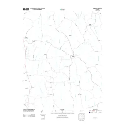
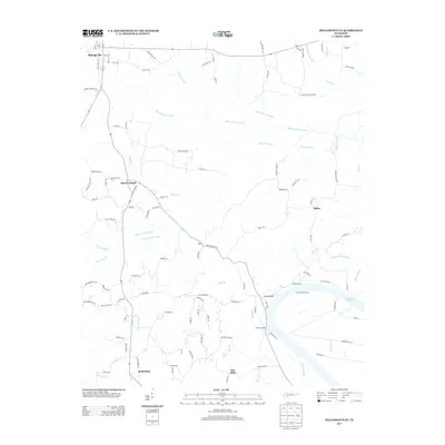
 1949 Milledgeville1952 Print · USGSWest Tennessee rural life and river geography are captured here in the late forties at the junction of Chester, McNairy, and Hardin counties. Researchers can trace family history at Sweeney Cem or locate the rural crossroads of Morris Chapel and Coffee Landing.2 unique versions available
 - 1950 Map of Enville, 1952 Print
 1950 Enville1952 Print · USGSMid-century West Tennessee comes to life here along the Tennessee Valley Divide at the meeting of three counties. Genealogists and local historians can trace family locations through numerous rural landmarks like Grove Springs Cem, Bailey Chapel, and Roby Sch.3 unique versions available
 - 1956 Map of Blytheville, 1964 Print
 1956 Blytheville1964 Print · USGSWest Tennessee and the Arkansas Delta come alive in this mid-century survey of the river-and-rail corridor connecting Memphis to Jackson. Genealogists and historians can trace the rail lines of the Louisville and Nashville RR and locate landmarks like Western State Hospital or Fort Pillow State Prison Farm.2 unique versions available
 - 1959 Map of Blytheville
 1959 Blytheville1959 Print · USGSWest Tennessee and Northeast Arkansas meet along the river in the late fifties, during a period of steady industrial and agricultural growth. Genealogists can trace the rail corridors of the Illinois Central through Jackson or explore landmarks like Shiloh National Military Park and Fort Pillow State Prison.
 - 1986 Map of Selmer
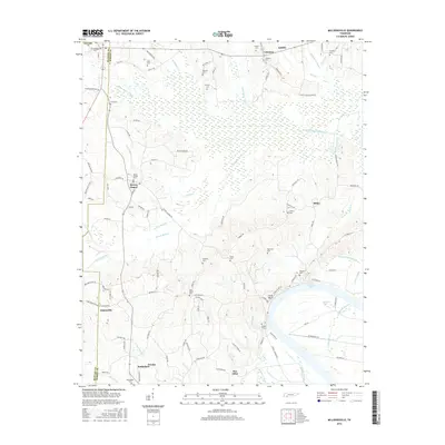
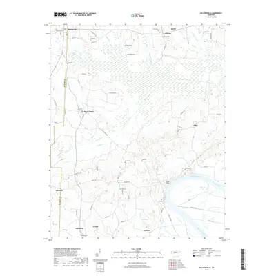
 1986 Selmer1986 Print · USGSThe Tennessee River valley and the West Tennessee highlands come into focus in the mid-eighties, showing the region's unique intersection of Civil War history and modern infrastructure. Genealogists and researchers can trace family landmarks like Gillisses Mills, the campus of Freed-Hardeman College, and the hallowed grounds of Shiloh National Military Park.3 unique versions available
 - 2010 Map of Milledgeville, 2010 Print
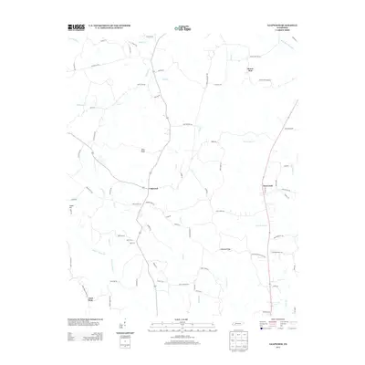
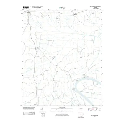 2010 Milledgeville2010 Print · USGSCovers Milledgeville, including Adamsville, Crump, and other nearby areas
 - 2010 Map of Sardis, 2010 Print
 2010 Sardis2010 Print · USGSCovers Milledgeville, including Sardis, Cedar Grove, and other nearby areas
 - 2010 Map of Leapwood, 2010 Print
 2010 Leapwood2010 Print · USGSCovers Milledgeville, including Adamsville, Mount Zion, and other nearby areas
 - 2010 Map of Enville, 2010 Print
 2010 Enville2010 Print · USGSCovers Milledgeville, including Roby, Cabo, and other nearby areas
 - 2013 Map of Sardis, 2013 Print
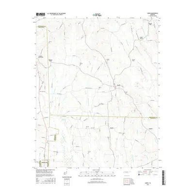
 2013 Sardis2013 Print · USGSCovers Milledgeville, including Sardis, Cedar Grove, and other nearby areas
 - 2013 Map of Leapwood, 2013 Print
 2013 Leapwood2013 Print · USGSCovers Milledgeville, including Adamsville, Mount Zion, and other nearby areas
 - 2013 Map of Milledgeville, 2013 Print
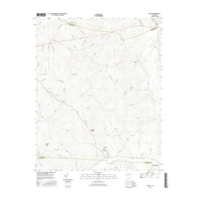
 2013 Milledgeville2013 Print · USGSCovers Milledgeville, including Adamsville, Crump, and other nearby areas
 - 2013 Map of Enville, 2013 Print
 2013 Enville2013 Print · USGSCovers Milledgeville, including Roby, Cabo, and other nearby areas
 - 2016 Map of Leapwood, 2016 Print
 2016 Leapwood2016 Print · USGSCovers Milledgeville, including Adamsville, Mount Zion, and other nearby areas
 - 2016 Map of Enville, 2016 Print
 2016 Enville2016 Print · USGSCovers Milledgeville, including Roby, Cabo, and other nearby areas
 - 2016 Map of Sardis, 2016 Print
 2016 Sardis2016 Print · USGSCovers Milledgeville, including Sardis, Cedar Grove, and other nearby areas
 - 2016 Map of Milledgeville, 2016 Print
 2016 Milledgeville2016 Print · USGSCovers Milledgeville, including Adamsville, Crump, and other nearby areas
 - 2019 Map of Milledgeville, 2019 Print
 2019 Milledgeville2019 Print · USGSCovers Milledgeville, including Adamsville, Crump, and other nearby areas
 - 2019 Map of Enville, 2019 Print
 2019 Enville2019 Print · USGSCovers Milledgeville, including Roby, Cabo, and other nearby areas
Showing maps 1-25 of 31
Top cities near Milledgeville
- Savannah historical maps
- Selmer historical maps
- Adamsville historical maps
- Crump historical maps
- Sardis historical maps
- Saltillo historical maps
See more
Frequently asked questions
- What are the different types of historical maps available for Milledgeville?
- What is the oldest map of Milledgeville?
- Where can I purchase historical maps of Milledgeville for my home or office?
- Where can I download high-res historical maps of Milledgeville?
- Are there historical topographic maps available for Milledgeville?
- Is there historical aerial imagery available for Milledgeville?
- Where are historical maps of Milledgeville sourced from?