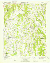
1949 Map of Sardis
USGS Topo · Published 1952About this map
Sardis and the surrounding farm country in Henderson County are documented here just after the mid-century, revealing a landscape defined by small rural hubs and an extensive network of managed water. The map shows the town center of Sardis near several landmarks like Sardis Ch and McBride Cem, while further west, the Center Point Lula (PO) and Hickory Flats mark other vital community points.
Find a feature on this map
49 named features on this map. Tap any name to fly to it.
Don’t see what you’re looking for? This feature index may not catch every label — zoom into the map to look around manually.
Map Details
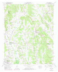
Editions of this 1949 Sardis Map
2 editions found
Other maps of this area

1936 · Hookers Bend
USGS Topo · 1:24,000

1936 · Scotts Hill
USGS Topo · 1:24,000

1936 · Leapwood
USGS Topo · 1:24,000

1936 · Thurman
USGS Topo · 1:24,000

1936 · Sardis
USGS Topo · 1:24,000

1936 · Reagan
USGS Topo · 1:24,000

1936 · Milledgeville
USGS Topo · 1:24,000

1936 · Enville
USGS Topo · 1:24,000

1936 · Life
USGS Topo · 1:24,000

1949 · Hookers Bend
USGS Topo · 1:24,000