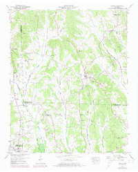
1949 Map of Sardis
USGS Topo · Published 1974About this map
Sardis serves as the central hub of this West Tennessee landscape, documented through joint efforts by the Geological Survey and the Tennessee Valley Authority. The terrain is defined by the drainage patterns of Big Hurricane Creek, which winds through the rural countryside. Mapping from 1949, photorevised in the early 1970s, illustrates the settlement's relationship with the local waterway and the road network connecting it to the surrounding counties. The map provides a detailed view of the area's geography before significant modern development, focusing on the essential physical features and the town site that anchored the local community during the mid-20th century.
Find a feature on this map
2 named features on this map. Tap any name to fly to it.
Don’t see what you’re looking for? This feature index may not catch every label — zoom into the map to look around manually.
Map Details
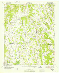
Editions of this 1949 Sardis Map
2 editions found
Other maps of this area

1936 · Hookers Bend
USGS Topo · 1:24,000

1936 · Scotts Hill
USGS Topo · 1:24,000

1936 · Leapwood
USGS Topo · 1:24,000

1936 · Thurman
USGS Topo · 1:24,000

1936 · Sardis
USGS Topo · 1:24,000

1936 · Reagan
USGS Topo · 1:24,000

1936 · Milledgeville
USGS Topo · 1:24,000

1936 · Enville
USGS Topo · 1:24,000

1936 · Life
USGS Topo · 1:24,000

1949 · Hookers Bend
USGS Topo · 1:24,000