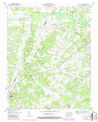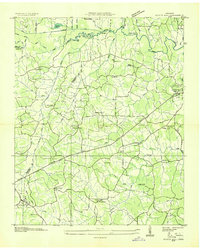
1936 Map of Scotts Hill
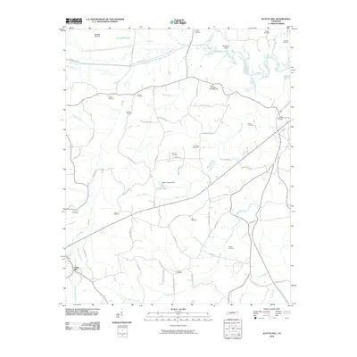
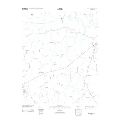
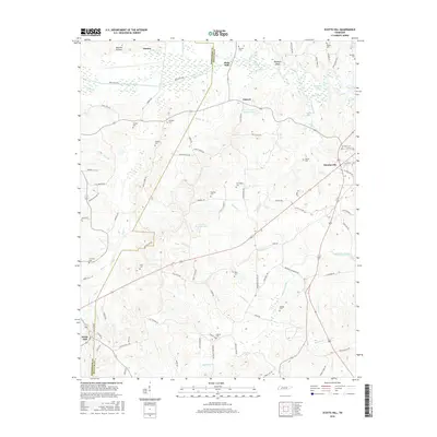
USGS Topo · Published 1936About this map
Scotts Hill serves as the primary settlement on this Tennessee Valley Authority advance sheet, situated at the boundary of Henderson and Decatur counties. The landscape is defined by the winding course of the Beech River and a dense network of tributaries including Flat Creek, Turkey Creek, and Rushing Creek. This 1930s survey reveals a rural society structured around small community institutions, evidenced by numerous named schools like Garrett Sch and Dunivant Sch, and churches such as Smith Chapel and Peace Chapel.
Find a feature on this map
79 named features on this map. Tap any name to fly to it.
Don’t see what you’re looking for? This feature index may not catch every label — zoom into the map to look around manually.
Map Details
Editions of this 1936 Scotts Hill Map
This is the sole edition of this map. No revisions or reprints were ever made.
Historical Maps of Decaturville Through Time
7 maps found