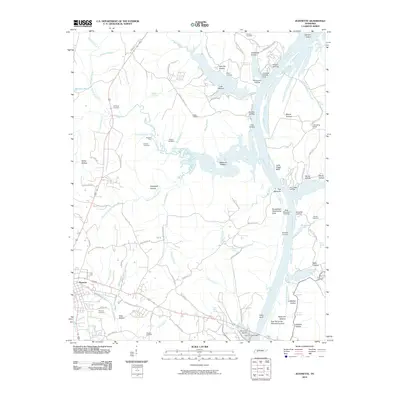
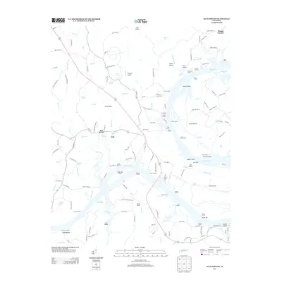
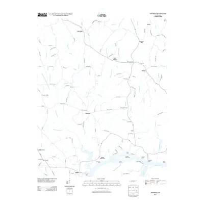
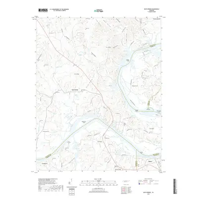
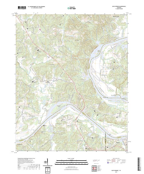
1936 Map of Bath Springs
USGS Topo · Published 1936About this map
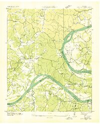
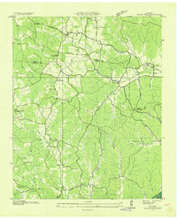
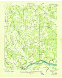
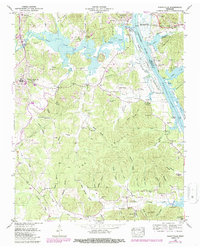
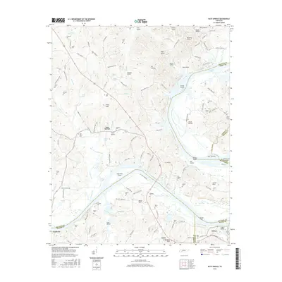
Tennessee River landings dominate this 1936 survey, illustrating a river-dependent economy in Decatur and surrounding counties just before major modernization. Numerous family-named sites such as Yarbro Landing, Patriot Landing, and La Mays Landing line the banks, marking where farmers and merchants interfaced with river traffic. The map shows the intricate winding of the river through Nance Bend and past Double Islands, highlighting a landscape where geography dictated the placement of communities like Bath Springs and Clifton.
Find a feature on this map
81 named features on this map. Tap any name to fly to it.
Don’t see what you’re looking for? This feature index may not catch every label — zoom into the map to look around manually.
Map Details
Editions of this 1936 Bath Springs Map
This is the sole edition of this map. No revisions or reprints were ever made.
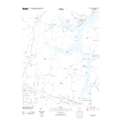
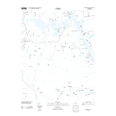
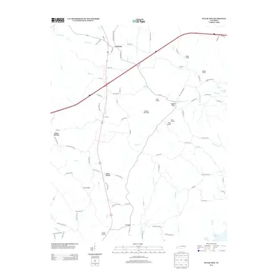
Historical Maps of Clifton Through Time
36 maps found
1936 Bath Springs
Decatur County, TN
1936 Cavvia
Decatur County, TN
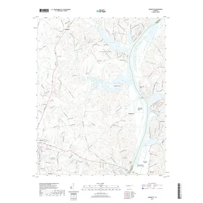
1936 Jeannette
Decatur County, TN
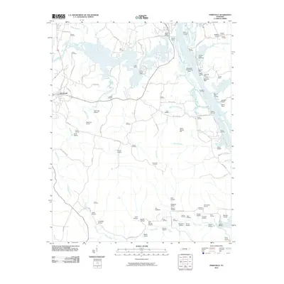
1936 Perryville
Decatur County, TN
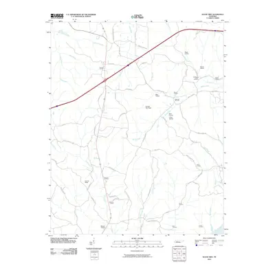
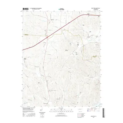
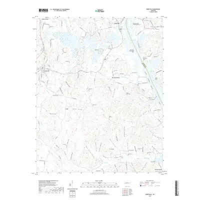
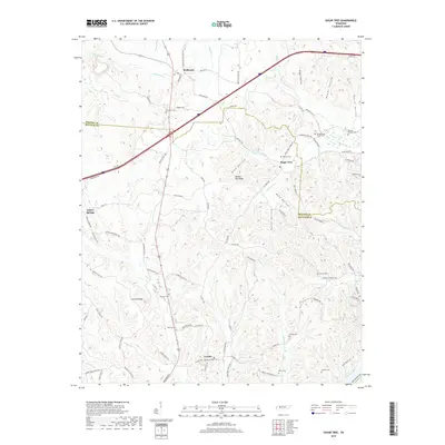
1936 Sugar Tree
Decatur County, TN
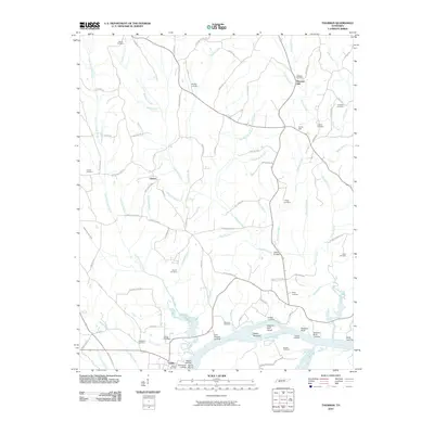
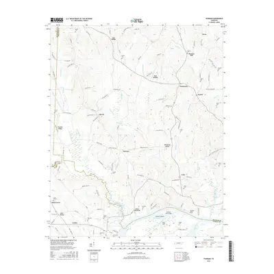
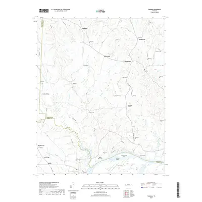
1936 Thurman
Decatur County, TN
1949 Bath Springs
Decatur County, TN
1949 Jeannette
Decatur County, TN
1949 Perryville
Decatur County, TN
1949 Sugar Tree
Decatur County, TN
1949 Thurman
Decatur County, TN
2010 Bath Springs
Decatur County, TN
2010 Jeannette
Decatur County, TN
2010 Perryville
Decatur County, TN
2010 Sugar Tree
Decatur County, TN
2010 Thurman
Decatur County, TN
2013 Bath Springs
Decatur County, TN
2013 Jeannette
Decatur County, TN
2013 Perryville
Decatur County, TN
2013 Sugar Tree
Decatur County, TN
2013 Thurman
Decatur County, TN
2016 Bath Springs
Decatur County, TN
2016 Jeannette
Decatur County, TN
2016 Perryville
Decatur County, TN
2016 Sugar Tree
Decatur County, TN
2016 Thurman
Decatur County, TN
2019 Bath Springs
Decatur County, TN
2019 Jeannette
Decatur County, TN
2019 Perryville
Decatur County, TN
2019 Sugar Tree
Decatur County, TN
2019 Thurman
Decatur County, TN
2022 Bath Springs
Decatur County, TN
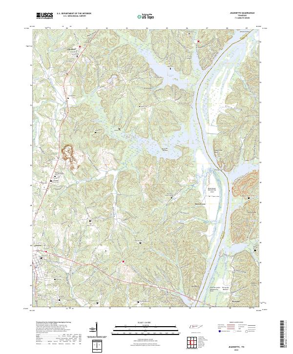
2022 Jeannette
Decatur County, TN
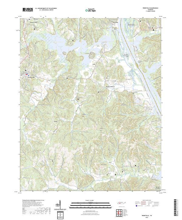
2022 Perryville
Decatur County, TN
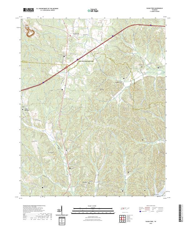
2022 Sugar Tree
Decatur County, TN
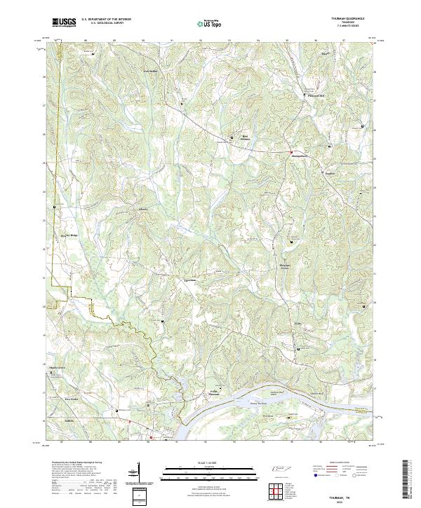
2022 Thurman
Decatur County, TN