Old Maps of Acre Estates, Clarksville for Genealogy
Trace your family roots with 12 historic maps of Acre Estates. These high-res maps reveal old neighborhoods, homesites, landmarks, and streets — helping you uncover where your ancestors lived and how the area evolved over time.
- Explore historic neighborhoods: Identify where your relatives may have lived in the 1800s or 1900s.
- Compare maps over time: Trace the changes in streets, buildings, and landmarks for multi-generational research.
- Perfect for genealogy & ancestry research: Used by family historians and researchers to map out lineage and migration.
These maps are an incredible resource for exploring your personal connection to Acre Estates's past.
Acre Estates, Clarksville maps
(12)- 1944 Map of Clarksville, 1946 Print
 1944 Clarksville1946 Print · USGSThe Kentucky-Tennessee border during the mid-forties shows a landscape transformed by the massive expansion of Camp Campbell. Researchers can trace the early layout of the base and its Small Arms Ranges alongside historic sites like Dunbar Cave and the Sunnyside Church.
 - 1951 Map of New Providence, 1953 Print
 1951 New Providence1953 Print · USGSMontgomery County was undergoing a major transformation in the early fifties as military expansion met traditional river life. Genealogists can trace family footprints through several rural schoolhouses and churches like Woodlawn Sch and Macedonia Ch near the Cumberland River.
 - 1956 Map of Nashville, 1971 Print
 1956 Nashville1971 Print · USGSThe Tennessee-Kentucky borderlands come into focus in the mid-1960s as major reservoir projects transformed the Cumberland and Tennessee river valleys. Researchers can trace the rail networks of the Louisville and Nashville and visit sites like Fort Campbell and Fort Donelson National Military Park.2 unique versions available
 - 1957 Map of New Providence, 1960 Print
 1957 New Providence1960 Print · USGSMontgomery County was undergoing a major transformation in the late fifties as the military expanded and river projects reshaped the land. Trace the early streets of New Providence, locate the site of Outlaw Airfield, or see the Cumberland River before the completion of Lake Barkley.4 unique versions available
 - 1957 Map of Clarksville, 1963 Print
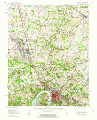 1957 Clarksville1963 Print · USGSThe Clarksville region and the Kentucky-Tennessee border are shown here during the mid-century expansion of Fort Campbell. Researchers can trace old family sites and rural landmarks like Barkers Mill, St Bethlehem, and the Tennessee Central railroad.
 - 1959 Map of Nashville
 1959 Nashville1959 Print · USGSMiddle Tennessee and Southern Kentucky come into focus during the late fifties, showing the region's transition into a modern transportation and military hub. Researchers can trace the sprawling Fort Campbell Military Reservation or locate historic rail stops along the Tennessee Central Ry and Illinois Central RR.
 - 1980 Map of Hopkinsville, 1983 Print
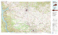 1980 Hopkinsville1983 Print · USGSThe Kentucky and Tennessee borderlands appear here at the start of the 1980s, centered on the massive Fort Campbell Military Reservation. Trace the impact of the Cumberland River impoundment at Lake Barkley or locate rail hubs like Guthrie and Elkton.
 - 2010 Map of New Providence, 2010 Print
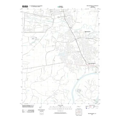 2010 New Providence2010 Print · USGSThe northern reaches of Montgomery County show the intersection of military and civilian life near the turn of the millennium. Researchers can trace the perimeter of Fort Campbell and locate regional landmarks like the Ringgold Creek Mill or the New Providence Post Office.
 - 2013 Map of New Providence, 2013 Print
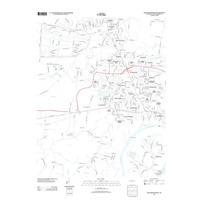 2013 New Providence2013 Print · USGSNorthwest of Clarksville in the early twenty-first century, this area shows the intersection of suburban growth and the Fort Campbell military reservation. Genealogists and local historians can trace residential developments like Ringgold and New Providence or locate riverfront sites like Trice Landing and the Cunningham Bridge.
 - 2016 Map of New Providence, 2016 Print
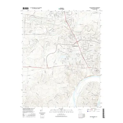 2016 New Providence2016 Print · USGSClarksville and its northern suburbs are captured here in the mid-2010s, showing a landscape defined by the Cumberland River and aviation history. Researchers can locate longtime community landmarks like Liberty Church, the riverside Geiser Bar, and the neighborhoods of Ringgold and New Providence.
 - 2019 Map of New Providence, 2019 Print
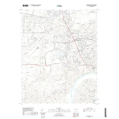 2019 New Providence2019 Print · USGSThe northern reaches of Clarksville and the tactical borderlands of Fort Campbell are captured here in the late 2010s. Trace the evolution of local neighborhoods from New Providence to Briarwood, or locate local landmarks like Parr Field and the Cummingham Bridge over the Cumberland River.
 - 2022 Map of New Providence, 2022 Print
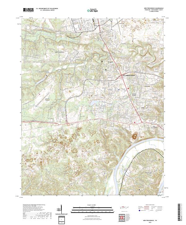 2022 New Providence2022 Print · USGSThe northern edge of Montgomery County is shown here in the early twenty-first century, where military life and college campuses meet the river. Genealogists can trace family sites at Fauntleroy Cem or Alex Yarbrough Cem near the Cumberland River.
End of results
Showing maps 1-12 of 12
Frequently asked questions
- What are the different types of historical maps available for Acre Estates?
- What is the oldest map of Acre Estates?
- Where can I purchase historical maps of Acre Estates for my home or office?
- Where can I download high-res historical maps of Acre Estates?
- Are there historical topographic maps available for Acre Estates?
- Is there historical aerial imagery available for Acre Estates?
- Where are historical maps of Acre Estates sourced from?