Old Maps of Forest Acres, Tennessee for Academic Research
Study the evolution of Forest Acres with 9 high-resolution historic maps. Whether you're teaching, researching, or modeling changes in land use, these maps provide essential visual documentation of urban, environmental, and geographic change.
- Analyze long-term change: Track patterns in development, transportation, and natural features.
- Ideal for environmental or urban studies: Support academic projects with primary historical map data.
- Use in the classroom or lab: Educators and researchers rely on these maps to bring historical context to life.
These maps are a powerful tool for teaching, research, and visualizing how Forest Acres has changed over the decades.
Forest Acres, TN maps
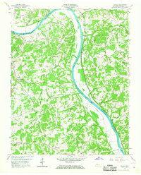
(9)- 1956 Map of Nashville, 1971 Print
 1956 Nashville1971 Print · USGSThe Tennessee-Kentucky borderlands come into focus in the mid-1960s as major reservoir projects transformed the Cumberland and Tennessee river valleys. Researchers can trace the rail networks of the Louisville and Nashville and visit sites like Fort Campbell and Fort Donelson National Military Park.2 unique versions available
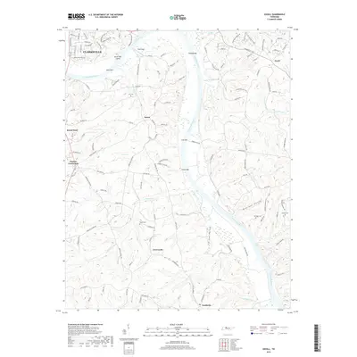
 - 1958 Map of Excell, 1960 Print
 1958 Excell1960 Print · USGSThe Cumberland River valley in the late fifties was a landscape of crossroads hamlets and family farmsteads. Researchers can trace old family sites near Orgains Crossroads, locate the Indian Mounds, or find early churches like Marthas Chapel and Bethlehem Ch.3 unique versions available
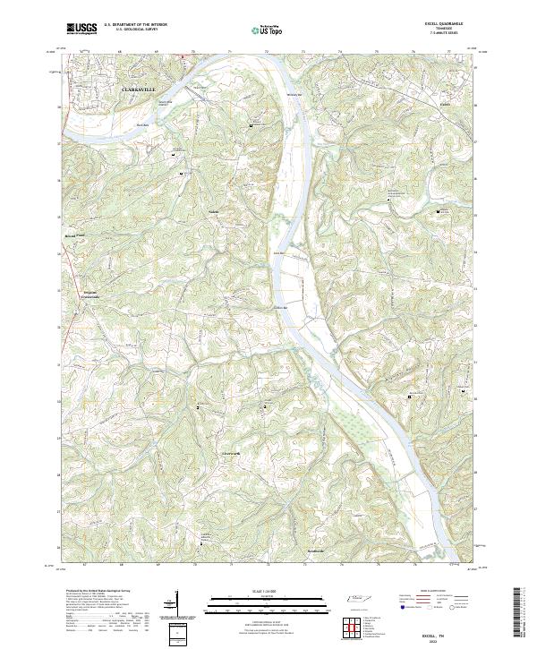
 - 1959 Map of Nashville
 1959 Nashville1959 Print · USGSMiddle Tennessee and Southern Kentucky come into focus during the late fifties, showing the region's transition into a modern transportation and military hub. Researchers can trace the sprawling Fort Campbell Military Reservation or locate historic rail stops along the Tennessee Central Ry and Illinois Central RR.
 - 1985 Map of Dickson
 1985 Dickson1985 Print · USGSMid-Tennessee in the mid-1980s was defined by the intersection of the Cumberland and Tennessee rivers and a massive network of wildlife refuges. Researchers can trace the Seaboard System rail lines connecting Waverly, Dickson, and White Bluff, or locate old landmarks near Fort Donelson National Military Park.
 - 2010 Map of Excell, 2010 Print
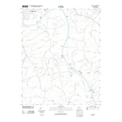 2010 Excell2010 Print · USGSCovers Forest Acres, including Clarksville, Liverworth, and other nearby areas
 - 2013 Map of Excell, 2013 Print
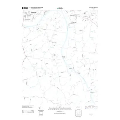 2013 Excell2013 Print · USGSCovers Forest Acres, including Clarksville, Liverworth, and other nearby areas
 - 2016 Map of Excell, 2016 Print
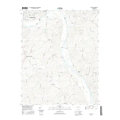 2016 Excell2016 Print · USGSCovers Forest Acres, including Clarksville, Liverworth, and other nearby areas
 - 2019 Map of Excell, 2019 Print
 2019 Excell2019 Print · USGSCovers Forest Acres, including Clarksville, Liverworth, and other nearby areas
 - 2022 Map of Excell, 2022 Print
 2022 Excell2022 Print · USGSThe Cumberland River valley south of Clarksville comes into sharp focus during the 2020s, showing a landscape defined by historic family landholdings and river navigation. Genealogists can trace deep local roots at Edward Neblett Cem and Brame Cem or explore the quiet crossroads of Liverworth and Salem.
End of results
Showing maps 1-9 of 9
Top cities near Forest Acres
- Clarksville historical maps
- Hopkinsville historical maps
- Oak Grove historical maps
- Ashland City historical maps
- Pleasant View historical maps
- Guthrie historical maps
See more
Frequently asked questions
- What are the different types of historical maps available for Forest Acres?
- What is the oldest map of Forest Acres?
- Where can I purchase historical maps of Forest Acres for my home or office?
- Where can I download high-res historical maps of Forest Acres?
- Are there historical topographic maps available for Forest Acres?
- Is there historical aerial imagery available for Forest Acres?
- Where are historical maps of Forest Acres sourced from?