Old Maps of Clayton, Tennessee for Academic Research
Study the evolution of Clayton with 8 high-resolution historic maps. Whether you're teaching, researching, or modeling changes in land use, these maps provide essential visual documentation of urban, environmental, and geographic change.
- Analyze long-term change: Track patterns in development, transportation, and natural features.
- Ideal for environmental or urban studies: Support academic projects with primary historical map data.
- Use in the classroom or lab: Educators and researchers rely on these maps to bring historical context to life.
These maps are a powerful tool for teaching, research, and visualizing how Clayton has changed over the decades.
Clayton, TN maps
(8)- 1956 Map of Dyersburg, 1960 Print
 1956 Dyersburg1960 Print · USGSThe Four Rivers region comes alive in the mid-fifties, capturing the intricate borderlands of Tennessee, Kentucky, and Missouri. Genealogists and historians can trace the rail-and-river networks connecting Dyersburg, Caruthersville, and the shoreline of Reelfoot Lake.4 unique versions available
 - 1966 Map of Clayton, 1968 Print
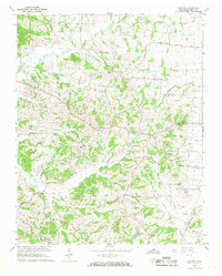 1966 Clayton1968 Print · USGSObion County's rolling landscape near the Kentucky border is captured here in the mid-1960s, showing a network of rural communities and church-centered settlements. Genealogists can trace family roots through sites like Old Republican Ch, the County Home, and the namesake village of Clayton.2 unique versions available
 - 1983 Map of Dyersburg
 1983 Dyersburg1983 Print · USGSSpanning the Mississippi River at the start of the 1980s, this area shows the vital river-and-rail connections between Tennessee and Missouri. Researchers can trace family sites at Mount Pisgah Cemetery or study the evolving shoreline near Caruthersville and Reelfoot Lake.
 - 2010 Map of Clayton, 2010 Print
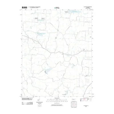 2010 Clayton2010 Print · USGSCovers Clayton, including Old Fremont, Fremont, and other nearby areas
 - 2013 Map of Clayton, 2013 Print
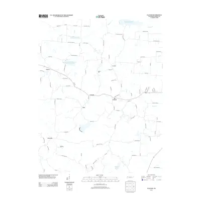 2013 Clayton2013 Print · USGSCovers Clayton, including Old Fremont, Fremont, and other nearby areas
 - 2016 Map of Clayton, 2016 Print
 2016 Clayton2016 Print · USGSCovers Clayton, including Old Fremont, Fremont, and other nearby areas
 - 2019 Map of Clayton, 2019 Print
 2019 Clayton2019 Print · USGSCovers Clayton, including Old Fremont, Fremont, and other nearby areas
 - 2022 Map of Clayton, 2022 Print
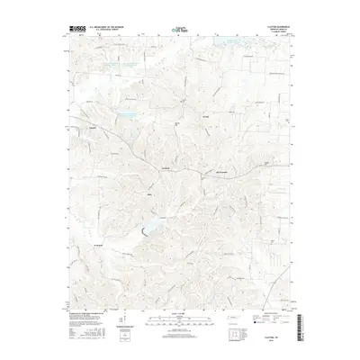
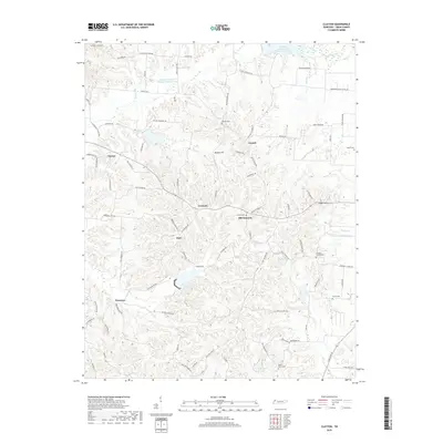
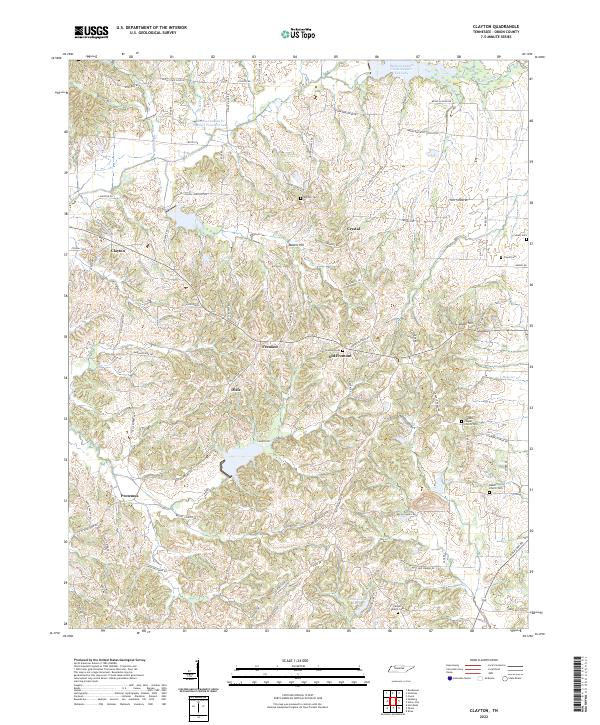 2022 Clayton2022 Print · USGSObion County's rural heartland is captured here in the early twenty-first century, showcasing a landscape of dispersed settlements and historic family lands. Researchers can trace ancestral locations near Old Fremont, Antioch Cem, and Beech Church Cem.
End of results
Showing maps 1-8 of 8
Top cities near Clayton
- Union City historical maps
- Tiptonville historical maps
- Hickman historical maps
- Troy historical maps
- Obion historical maps
- Hornbeak historical maps
See more
Frequently asked questions
- What are the different types of historical maps available for Clayton?
- What is the oldest map of Clayton?
- Where can I purchase historical maps of Clayton for my home or office?
- Where can I download high-res historical maps of Clayton?
- Are there historical topographic maps available for Clayton?
- Is there historical aerial imagery available for Clayton?
- Where are historical maps of Clayton sourced from?