Old Maps of Rives, Tennessee for Hiking & Exploration
Hike through history with 9 historic maps of Rives. Explore old trails, ghost towns, and forgotten backroads — perfect for outdoor adventurers and local explorers.
- Rediscover forgotten places: Map out old mining camps, roads, and footpaths that no longer exist on modern maps.
- Layer with modern tools: Combine with LiDAR or satellite views to plan hikes through historical terrain.
- Made for exploration: Popular among hikers, overlanders, and local history lovers.
Use these maps to find adventure and explore the hidden past of Rives.
Rives, TN maps
(9)- 1950 Map of Rives, 1970 Print
 1950 Rives1970 Print · USGSRives and the surrounding Obion County bottomlands are captured here during the mid-century as the region's rail-and-river economy flourished. Genealogists and historians can trace family-named sites like McCutchen Heights, Pleasant Hill Ch, and the intersection of two major railroads at Rives.2 unique versions available
 - 1951 Map of Rives
 1951 Rives1951 Print · USGSObion County at the start of the 1950s shows a landscape of rail junctions and reclaimed river bottomlands. Researchers can locate family-named settlements like Moffatt and Polk or trace the early church and cemetery locations at Pleasant Hill Ch and Sardis Cem.
 - 1956 Map of Dyersburg, 1960 Print
 1956 Dyersburg1960 Print · USGSThe Four Rivers region comes alive in the mid-fifties, capturing the intricate borderlands of Tennessee, Kentucky, and Missouri. Genealogists and historians can trace the rail-and-river networks connecting Dyersburg, Caruthersville, and the shoreline of Reelfoot Lake.4 unique versions available
 - 1983 Map of Dyersburg
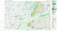 1983 Dyersburg1983 Print · USGSSpanning the Mississippi River at the start of the 1980s, this area shows the vital river-and-rail connections between Tennessee and Missouri. Researchers can trace family sites at Mount Pisgah Cemetery or study the evolving shoreline near Caruthersville and Reelfoot Lake.
 - 2010 Map of Rives, 2010 Print
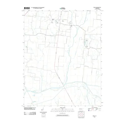 2010 Rives2010 Print · USGSObion County's river-bottom lands are captured here just after the turn of the millennium, showing a landscape defined by the Obion River and its major forks. Local historians can trace family roots through several key sites like Pleasant Hill Cemetery, Rives, and Stovall Cemetery.
 - 2013 Map of Rives, 2013 Print
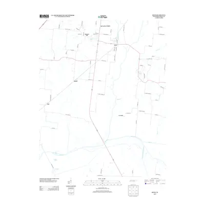 2013 Rives2013 Print · USGSObion County at the start of the 2010s shows a landscape deeply shaped by the Obion River and its various forks. Genealogists and local historians can trace family land proximity to landmarks like Botts Lake, McCutchen Heights, and the rural settlement of Moffatt.
 - 2016 Map of Rives, 2016 Print
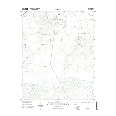 2016 Rives2016 Print · USGSObion County's bottomlands come into focus in the mid-2010s, where the convergence of several river forks creates a complex wetland environment. Researchers can trace family sites near Pleasant Hill Cem or locate the rural communities of Rives and Moffatt.
 - 2019 Map of Rives, 2019 Print
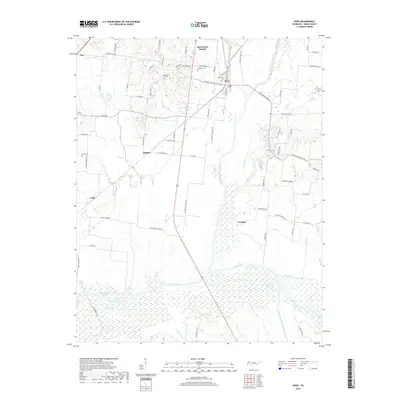 2019 Rives2019 Print · USGSObion County's river-bottom landscape is captured here in the modern era, showing the relationship between small Tennessee settlements and the meandering North Fork. Researchers can locate family landmarks such as Stovall Cem and Sardis Cem or trace the drainage of Cypress Cr into the Obion River.
 - 2022 Map of Rives, 2022 Print
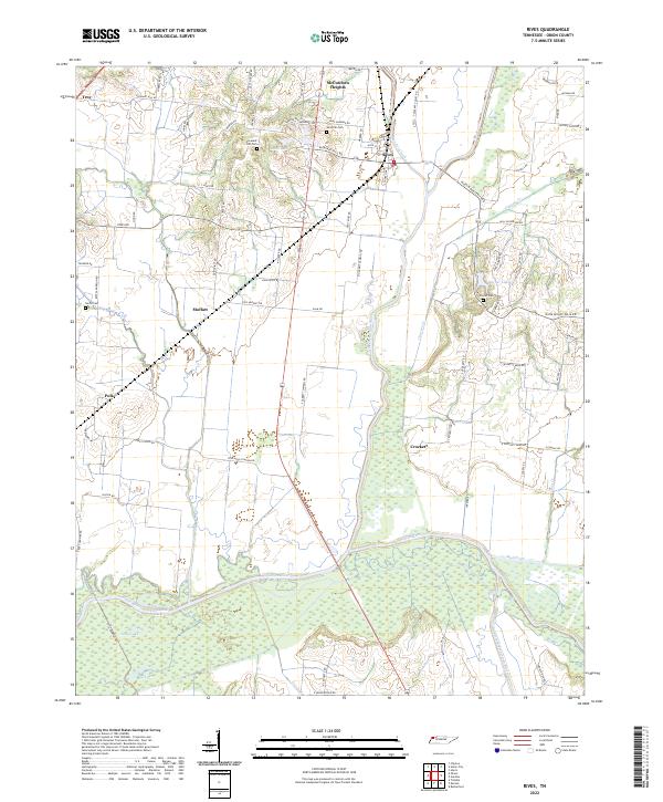 2022 Rives2022 Print · USGSObion County's river bottoms and rural communities are captured here in the early twenty-first century. Researchers can trace family history through local landmarks like Sardis Cem or follow the wetlands surrounding the North Fork Obion River.
End of results
Showing maps 1-9 of 9
Top cities near Rives
- Union City historical maps
- Martin historical maps
- Newbern historical maps
- Fulton historical maps
- South Fulton historical maps
- Hickman historical maps
See more
Frequently asked questions
- What are the different types of historical maps available for Rives?
- What is the oldest map of Rives?
- Where can I purchase historical maps of Rives for my home or office?
- Where can I download high-res historical maps of Rives?
- Are there historical topographic maps available for Rives?
- Is there historical aerial imagery available for Rives?
- Where are historical maps of Rives sourced from?