2000s (21st Century) Maps of Overton County, Tennessee
Explore 75 historic maps of Overton County from the 2000s (21st Century). These maps offer a rare glimpse into what life looked like during the 2000s — showing old roads, neighborhoods, homes, and landmarks that have changed or disappeared over time.
Whether you're researching your family's past, planning a metal detecting trip, or studying how Overton County's landscape evolved across the 2000s, these high-resolution maps are a powerful tool for exploring the history of this region.
- Focus on a specific era: All maps on this page are from the 2000s, giving you a focused view of this time period.
- See what’s changed: Compare century-old streets, trails, and buildings to today's modern landscape using overlays and satellite layers.
- Research with precision: Use these maps for genealogy, historical research, land use analysis, or educational projects.
- View, download, or print: Maps are fully viewable online in high resolution, and can be downloaded or printed for your own records.
Start exploring Overton County's history through authentic maps from the 2000s. This is your window into the past.
Overton County, TN maps
(75)- 2010 Map of Dale Hollow Reservoir SE, 2010 Print
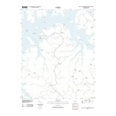 2010 Dale Hollow Reservoir SE2010 Print · USGSThe Tennessee and Kentucky borderlands near Fairview are shown here as the twenty-first century began, centered on the winding waters of Dale Hollow Lake. Researchers can locate several family cemeteries and landmarks, such as Saint John Cemetery, Chowning Knob, and the Willow Grove Dock.
 - 2010 Map of Hilham, 2010 Print
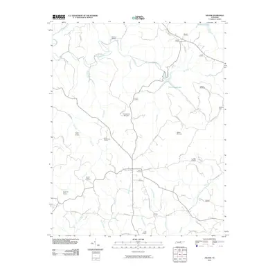 2010 Hilham2010 Print · USGSOverton County at the start of the 2010s shows a landscape deeply anchored by family heritage and rural post offices. Genealogists can trace local lineages through the Johnnie Humpy Brown Cemetery, Fisk Cemetery, and the historic Hilham Post Office.
 - 2010 Map of Alpine, 2010 Print
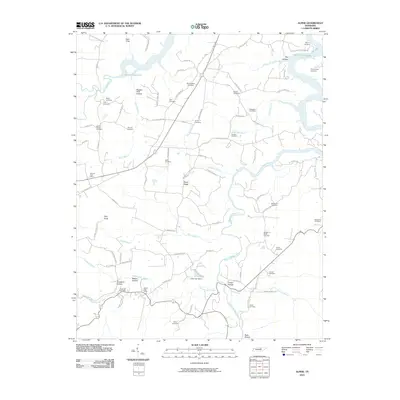 2010 Alpine2010 Print · USGSOverton County’s rural highlands come into focus in the early 21st century, centered on the river valleys and timbered ridges. Genealogists and local historians can trace family ties at Green Hill Cemetery, Story Cemetery, and the Monroe Post Office.
 - 2010 Map of Byrdstown, 2010 Print
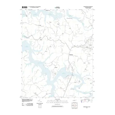 2010 Byrdstown2010 Print · USGSByrdstown and the surrounding ridges sit perched above the flooded valleys of the Cumberland Plateau in the early twenty-first century. Genealogists and local historians can trace family ties through dozens of sites like Hatcher Hall Cemetery, Neal Cemetery, and Rayburn Cemetery.
 - 2010 Map of Riverton, 2010 Print
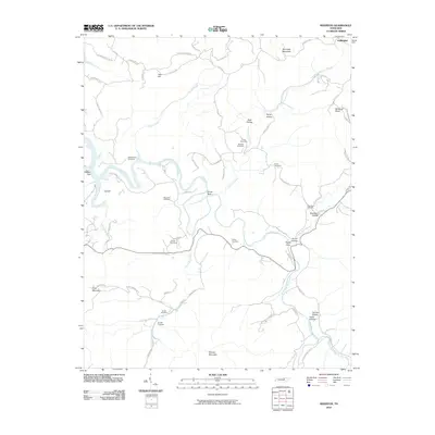 2010 Riverton2010 Print · USGSFentress County's rural highlands are mapped here in the early twenty-first century, showing the enduring landscape of the Upper Cumberland. Genealogists can locate numerous family burial sites such as Hinds Cemetery and New Hope Cemetery along the East Fork Obey River.
 - 2010 Map of Cookeville East, 2010 Print
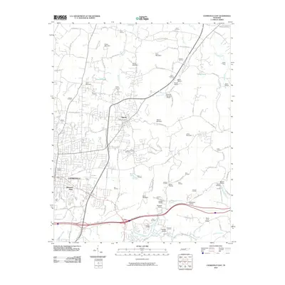 2010 Cookeville East2010 Print · USGSThe eastern edges of Cookeville and the town of Algood are captured here during a time of steady growth in the 2010s. Genealogists can locate numerous family burial sites such as Quarles Cemetery and Pearson Cemetery, or trace the historic Spring Creek Oil Field.
 - 2010 Map of Livingston, 2010 Print
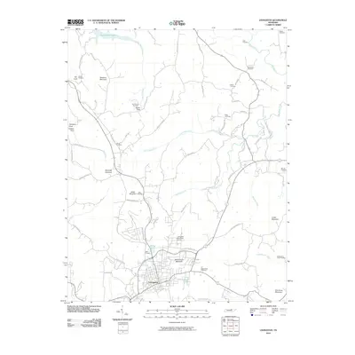 2010 Livingston2010 Print · USGSLivingston and the surrounding Overton County heights are documented here in the early twenty-first century. Genealogists and local historians can trace family burial sites like Cash Cemetery and Miller Cemetery or locate landmarks such as Schoolhouse Mountain.
 - 2010 Map of Dale Hollow Dam, 2010 Print
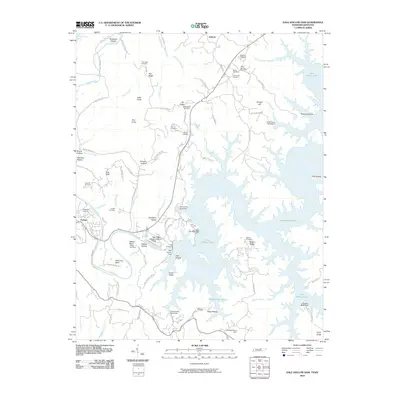 2010 Dale Hollow Dam2010 Print · USGSIn the Tennessee highlands during the early 21st century, the massive Dale Hollow Dam redefines the historic river valleys near Celina. Researchers can trace the intersection of new lakefronts and old family lands through sites like Free Hill Cemetery, Walker Bend, and the community of Ashlock.
 - 2010 Map of Monterey, 2010 Print
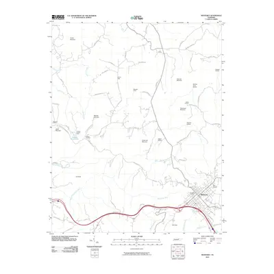 2010 Monterey2010 Print · USGSMonterey and the surrounding plateau terrain are captured here at the start of the 2010s. Local history researchers can locate several family cemeteries, including Walker Cemetery and Stamps Cemetery, near landmarks like Bee Rock.
 - 2010 Map of Windle, 2010 Print
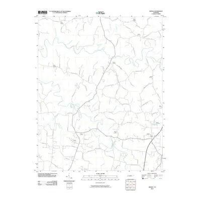 2010 Windle2010 Print · USGSNorth-central Tennessee's rural landscape is captured here in the early twenty-first century, showing a region deeply rooted in family history. Researchers can locate numerous burial grounds and ancestral landmarks, including Allen Chapel Cemetery, Mason Lake, and the winding Roaring River.
 - 2010 Map of Clarkrange, 2010 Print
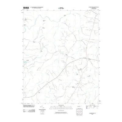 2010 Clarkrange2010 Print · USGSThe Cumberland Plateau comes into focus in the early twenty-first century, showing a landscape defined by deep gulfs and winding river forks. Genealogists and local historians can locate several family burial grounds, including Mount Union Cemetery, or trace rural landmarks like the D O Beaty Bridge and Hickory Corner.
 - 2010 Map of Okalona, 2010 Print
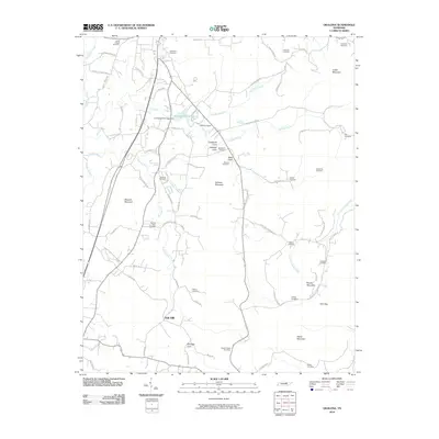 2010 Okalona2010 Print · USGSOverton County, Tennessee, is captured here in the early twenty-first century as a landscape of ridges and family-named coves. Researchers can trace ancestral lines through numerous burial sites including Bethlehem Cemetery, Okalona Cemetery, and Oakley Cemetery.
 - 2010 Map of Obey City, 2010 Print
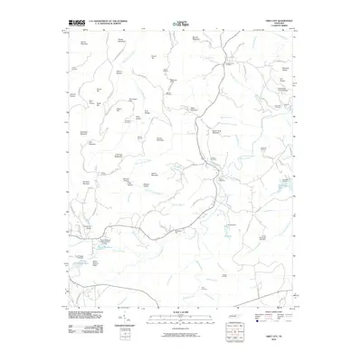 2010 Obey City2010 Print · USGSThe Cumberland Plateau in the early twenty-first century reveals a landscape defined by deep family roots and the headwaters of the Obey River. Genealogists and historians can trace local lineages through Union Point Cemetery, Chapel Hill Church, and the many hollows like Maynard Hollow.
 - 2010 Map of Wilder, 2010 Print
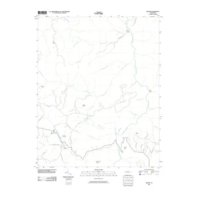 2010 Wilder2010 Print · USGSFentress County and the Highland area are captured here in the early twenty-first century, showing a landscape shaped by the East Fork Obey River. Researchers can locate numerous family burial sites like Davidson Cemetery and trace local industry at the Claude Ledbetter Mine.
 - 2010 Map of Crawford, 2010 Print
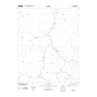 2010 Crawford2010 Print · USGSOverton County remains a landscape of high ridges and winding waterways in the early twenty-first century. Genealogists and local historians can trace family locations through numerous sites like Allred Post Office, Phillips Cemetery, and Egypt Knob.
 - 2013 Map of Byrdstown, 2013 Print
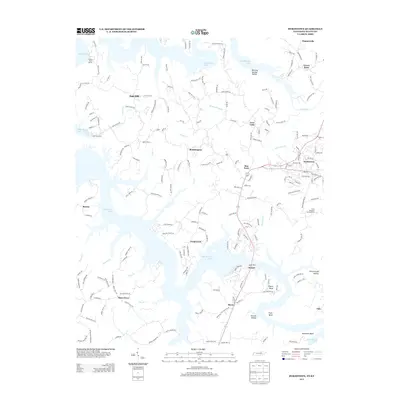 2013 Byrdstown2013 Print · USGSByrdstown and the undulating shoreline of Dale Hollow Lake are captured here in the early twenty-first century. Genealogists and local historians can trace family roots through sites like Bond Cemetery Rd and small communities such as Plain Grove and Boom.
 - 2013 Map of Okalona, 2013 Print
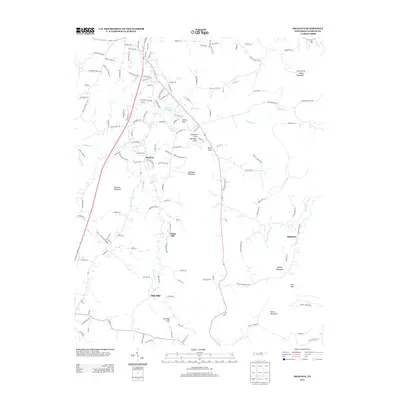 2013 Okalona2013 Print · USGSOverton County near the Highland Rim was a landscape of high ridges and deep coves in the early twenty-first century. Genealogists and local historians can trace the family-named roads and rural settlements of Okalona, Union Hill, and Oak Hill near the waters of Livingston City Lake.
 - 2013 Map of Monterey, 2013 Print
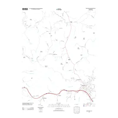 2013 Monterey2013 Print · USGSMonterey and the surrounding Cumberland Plateau are captured here in the early twenty-first century. Genealogists and local historians can trace family-named landmarks and old settlements like Standingstone, Pinhook, and Sand Springs along the Falling Water River.
 - 2013 Map of Dale Hollow Reservoir SE, 2013 Print
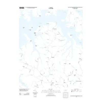 2013 Dale Hollow Reservoir SE2013 Print · USGSThe northern edge of Clay County was transformed by the waters of the Dale Hollow Reservoir, as seen in this early twenty-first-century survey. Researchers can trace landforms like Accordion Bluff and Opossum Island alongside established communities like Willow Grove and Oakley.
 - 2013 Map of Cookeville East, 2013 Print
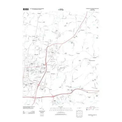 2013 Cookeville East2013 Print · USGSEast of Cookeville in the early 2010s, this area shows a blend of suburban growth and traditional Highland Rim industry. Researchers can trace family-named landmarks like Verble Mountain and Wiser Hollow or locate the Spring Creek Oil Field.
 - 2013 Map of Clarkrange, 2013 Print
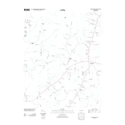 2013 Clarkrange2013 Print · USGSThe Cumberland Plateau in the early twenty-first century is captured here, centered on the crossroads of Clarkrange and the community of Rinnie. Genealogists and local historians can trace family-named sites like Todd Hollow, Polk Hollow, and the D O Beaty Bridge.
 - 2013 Map of Crawford, 2013 Print
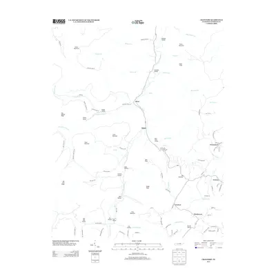 2013 Crawford2013 Print · USGSOverton County’s rugged plateau landscape is centered here on the W Fork Obey River in the early twenty-first century. Genealogists and hikers can trace the geography of upland settlements like Twinton, Cravenstown, and the ridges of Daddy Ridge.
 - 2013 Map of Hilham, 2013 Print
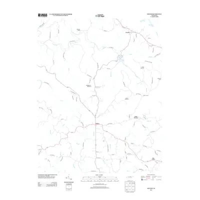 2013 Hilham2013 Print · USGSThe rural uplands of Overton County are captured here in the early twenty-first century as modern roads trace through traditional hollows. Genealogists can locate family landmarks like Johnson Cove and Burchett Hollow, or the settlements of Hilham and Timothy.
 - 2013 Map of Wilder, 2013 Print
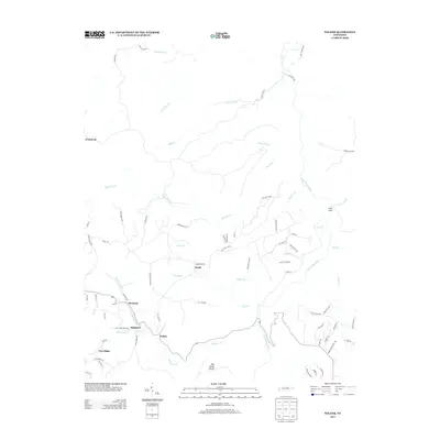 2013 Wilder2013 Print · USGSThe Tennessee plateau near the Fentress and Overton county line is captured here in the early twenty-first century. Researchers can trace the lineage of communities like Wilder, Highland, and Cooktown, or explore landmarks like The Horse Pound.
 - 2013 Map of Alpine, 2013 Print
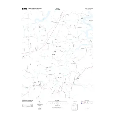 2013 Alpine2013 Print · USGSThe Overton County highlands are mapped here in the early 2010s, showing a landscape of deep hollows and rural hamlets. Researchers can trace family names and local routes through settlements like Alpine and Wirmingham or along the waters of Nettlecarrier Cr.
Showing maps 1-25 of 75
Top cities of Overton County
Frequently asked questions
- What are the different types of historical maps available for Overton County?
- What is the oldest map of Overton County?
- Where can I purchase historical maps of Overton County for my home or office?
- Where can I download high-res historical maps of Overton County?
- Are there historical topographic maps available for Overton County?
- Is there historical aerial imagery available for Overton County?
- Where are historical maps of Overton County sourced from?