Old Maps of Pope, Tennessee for Hiking & Exploration
Hike through history with 9 historic maps of Pope. Explore old trails, ghost towns, and forgotten backroads — perfect for outdoor adventurers and local explorers.
- Rediscover forgotten places: Map out old mining camps, roads, and footpaths that no longer exist on modern maps.
- Layer with modern tools: Combine with LiDAR or satellite views to plan hikes through historical terrain.
- Made for exploration: Popular among hikers, overlanders, and local history lovers.
Use these maps to find adventure and explore the hidden past of Pope.
Pope, TN maps
(9)- 1936 Map of Pope
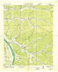 1936 Pope1936 Print · USGSAlong the banks of the Tennessee River in the mid-1930s, this area supported a network of river landings and small valley settlements. Genealogists and historians can locate family-named landmarks like Simmons Cem, trace the location of the Old Furnace, and identify rural schools such as Gumdale Sch.
 - 1949 Map of Pope, 1952 Print
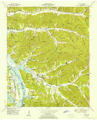 1949 Pope1952 Print · USGSThe Tennessee River valley underwent a massive transformation in the mid-twentieth century as Kentucky Lake reshaped the Perry County shoreline. Researchers can trace old river connections at Brownsport Landing and locate vanished landmarks like the abandoned ore furnace stack and Gumdale School.2 unique versions available
 - 1956 Map of Columbia, 1960 Print
 1956 Columbia1960 Print · USGSMiddle Tennessee in the mid-fifties presents a landscape of established river towns and critical rail hubs before the arrival of the modern interstate system. Researchers can trace the routes of the Louisville and Nashville railroad or locate historic landmarks like Stones River National Military Park and the Tennessee National Wildlife Refuge.6 unique versions available
 - 1986 Map of Hohenwald
 1986 Hohenwald1986 Print · USGSThe Western Highland Rim of Tennessee comes into focus during the mid-eighties, showing the deep river valleys and high ridges of Lewis and Perry counties. Researchers can trace the path of the Natchez Trace Parkway or locate interior settlements like Chestnut Grove, Farmers Exchange, and Hustburg.3 unique versions available
 - 2010 Map of Pope, 2010 Print
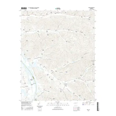
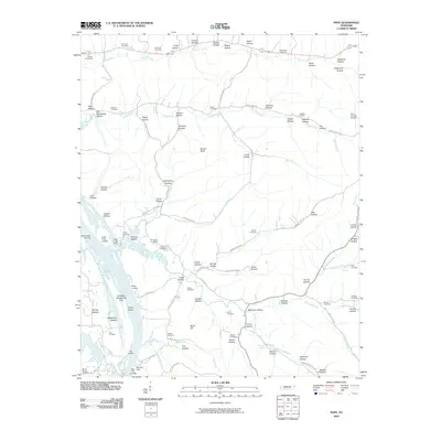 2010 Pope2010 Print · USGSCovers Pope, including Gumdale, Vise Landing, and other nearby areas
 - 2013 Map of Pope, 2013 Print
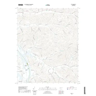
 2013 Pope2013 Print · USGSCovers Pope, including Gumdale, Vise Landing, and other nearby areas
 - 2016 Map of Pope, 2016 Print
 2016 Pope2016 Print · USGSCovers Pope, including Gumdale, Vise Landing, and other nearby areas
 - 2019 Map of Pope, 2019 Print
 2019 Pope2019 Print · USGSCovers Pope, including Gumdale, Vise Landing, and other nearby areas
 - 2022 Map of Pope, 2022 Print
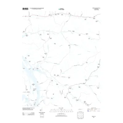
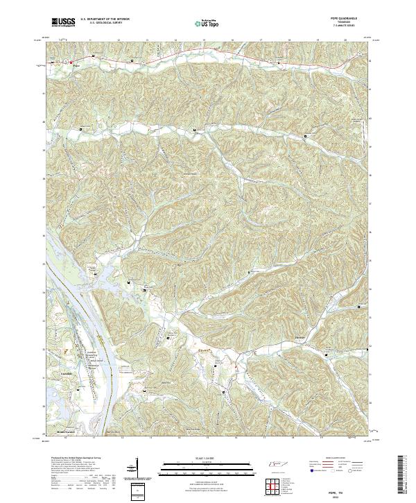 2022 Pope2022 Print · USGSWestern Perry County is mapped here as it transitions from the Tennessee River bluffs into a dense network of hollows and ridges. Researchers can trace family sites at Harder Cem Number 2, Broadaway Cem, and the riverfront at New Era Bluff.
End of results
Showing maps 1-9 of 9
Top cities near Pope
- Clifton historical maps
- Parsons historical maps
- Linden historical maps
- Lobelville historical maps
- Decaturville historical maps
Frequently asked questions
- What are the different types of historical maps available for Pope?
- What is the oldest map of Pope?
- Where can I purchase historical maps of Pope for my home or office?
- Where can I download high-res historical maps of Pope?
- Are there historical topographic maps available for Pope?
- Is there historical aerial imagery available for Pope?
- Where are historical maps of Pope sourced from?