Old Maps of Byrdstown, Tennessee for Metal Detecting
Plan your next treasure hunt with 16 historic maps of Byrdstown. Find old homesites, ghost towns, trails, and gathering spots that may be lost to time — perfect for identifying promising metal detecting locations.
- Locate forgotten sites: Uncover places like long-lost settlements, abandoned rail lines, or gathering spots.
- Plan better hunts: Use map overlays combined with LiDAR or satellite views to narrow in on historically rich areas.
- Made for detectorists: Thousands of hobbyists use these maps to discover relics, coins, and hidden history.
Use these historic maps to boost your research and find new opportunities beneath the surface of Byrdstown.
Byrdstown, TN maps
(16)- 1929 Map of Byrdstown
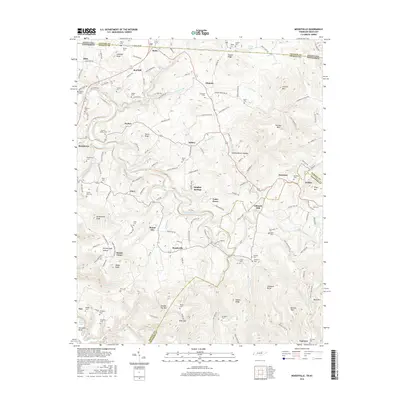
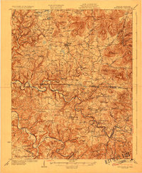 1929 Byrdstown1929 Print · USGSThe Tennessee-Kentucky state line comes alive in the late twenties, showing a landscape defined by the winding Obey River before the era of modern dams. Researchers can trace ancestral roots through dozens of local sites like Davidson Cem, Franklin Ferry, and the Almshouse.2 unique versions available
 - 1956 Map of Corbin, 1966 Print
 1956 Corbin1966 Print · USGSThe Kentucky and Tennessee borderlands are captured here in the mid-fifties, showing the region's shift toward modern interstate travel and reservoir development. Genealogists and historians can trace old community lines near Albany and Monticello or locate early rail junctions along the Southern and Tennessee Central lines.3 unique versions available
 - 1958 Map of Corbin
 1958 Corbin1958 Print · USGSThe Upper Cumberland borderlands appear in the late 1950s as massive reservoirs and early atomic-era growth reshape the region. Trace family roots and vanished landmarks near Lake Cumberland, Oak Ridge, and the Cumberland National Forest.
 - 1962 Map of Moodyville, 1963 Print
 1962 Moodyville1963 Print · USGSThe Wolf River country along the Kentucky-Tennessee border appears here in the early sixties, showing a landscape of deep river bends and rural crossroads. Genealogists can locate dozens of family burial sites like Flowers Zachary Cem and Shadow Cem near settlements like Moodyville and Static.3 unique versions available
 - 1962 Map of Byrdstown, 1964 Print
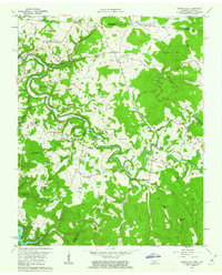
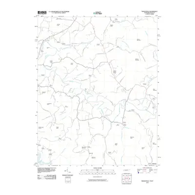
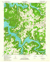 1962 Byrdstown1964 Print · USGSByrdstown and the surrounding river valleys are captured here in the early sixties, as the rising waters of Dale Hollow Reservoir transformed the landscape. Genealogists can trace family sites like the Cordell Hull Birthplace, Love Lady Cem, and the Ferry at Eagle Creek.4 unique versions available
 - 1985 Map of Tompkinsville, 1986 Print
 1985 Tompkinsville1986 Print · USGSThe Kentucky-Tennessee borderlands come into focus in the mid-1980s, showcasing a landscape of river-fed valleys and rural crossroads. Genealogists and local historians can trace family locations from Glasgow and Edmonton to the distinctively named Eighty Eight, Bugtussle, and Akersville.2 unique versions available
 - 2010 Map of Byrdstown, 2010 Print
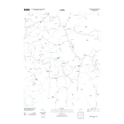
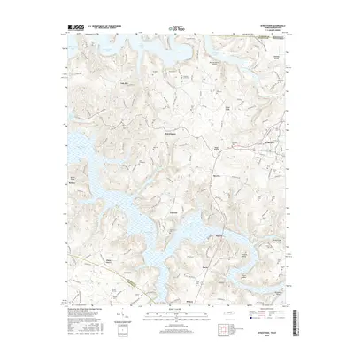
 2010 Byrdstown2010 Print · USGSCovers Byrdstown, including Fairview, Faix, and other nearby areas
 - 2010 Map of Moodyville, 2010 Print
 2010 Moodyville2010 Print · USGSCovers Byrdstown, including Davidson, Moodyville, and other nearby areas
 - 2013 Map of Byrdstown, 2013 Print
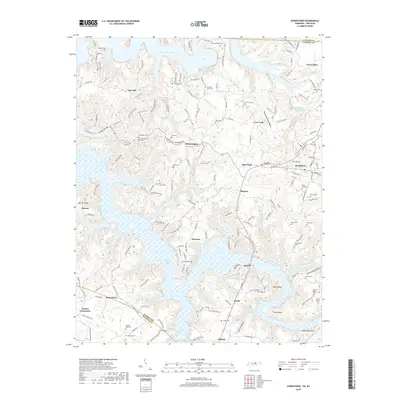
 2013 Byrdstown2013 Print · USGSCovers Byrdstown, including Fairview, Faix, and other nearby areas
 - 2013 Map of Moodyville, 2013 Print
 2013 Moodyville2013 Print · USGSCovers Byrdstown, including Davidson, Moodyville, and other nearby areas
 - 2016 Map of Moodyville, 2016 Print
 2016 Moodyville2016 Print · USGSCovers Byrdstown, including Davidson, Moodyville, and other nearby areas
 - 2016 Map of Byrdstown, 2016 Print
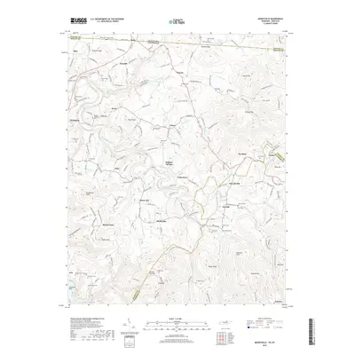
 2016 Byrdstown2016 Print · USGSCovers Byrdstown, including Fairview, Faix, and other nearby areas
 - 2019 Map of Byrdstown, 2019 Print
 2019 Byrdstown2019 Print · USGSCovers Byrdstown, including Fairview, Faix, and other nearby areas
 - 2019 Map of Moodyville, 2019 Print
 2019 Moodyville2019 Print · USGSCovers Byrdstown, including Davidson, Moodyville, and other nearby areas
 - 2022 Map of Moodyville, 2022 Print
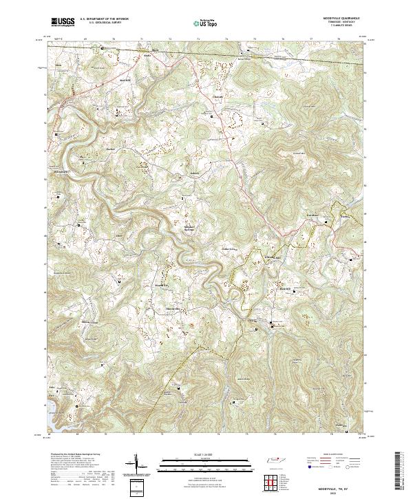 2022 Moodyville2022 Print · USGSThe Tennessee-Kentucky borderlands come alive in this survey of Pickett County, showing the region as it is today. Researchers can trace family history through dozens of sites like Gilreath Mill, Edgefield Cem, and the river community of Amonette Bend.
 - 2022 Map of Byrdstown, 2022 Print
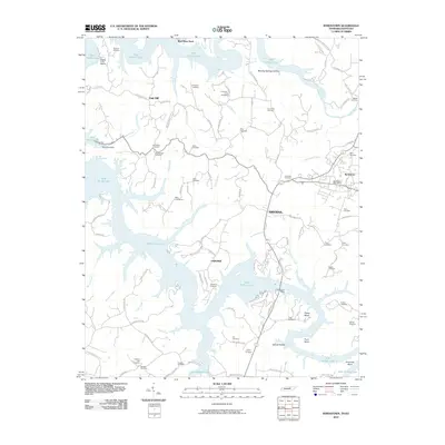
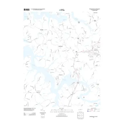
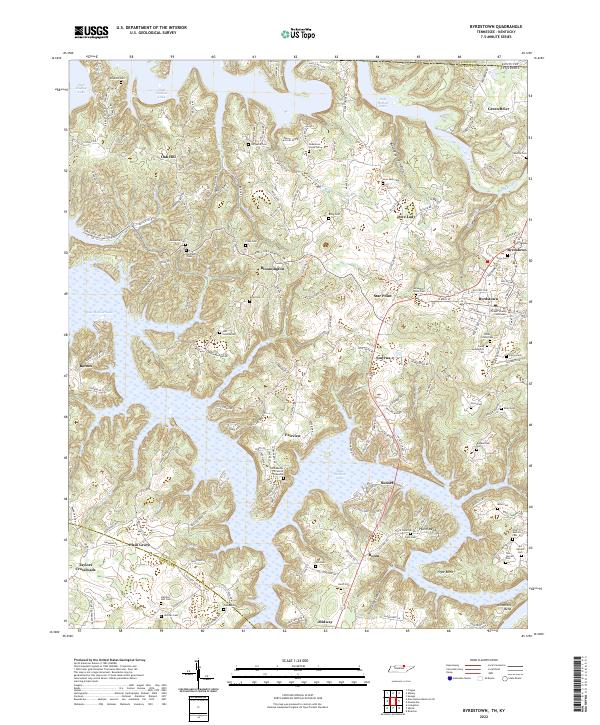 2022 Byrdstown2022 Print · USGSByrdstown and the surrounding Pickett County highlands are captured here in the early 2020s, dominated by the waters of Dale Hollow Lake. Genealogists can locate numerous family burial sites such as Story Cem and the Jehu Reeder Sr and Jr Gravesite near Fairview.
End of results
Showing maps 1-16 of 16
Top cities near Byrdstown
- Livingston historical maps
- Albany historical maps
- Jamestown historical maps
- Burkesville historical maps
Frequently asked questions
- What are the different types of historical maps available for Byrdstown?
- What is the oldest map of Byrdstown?
- Where can I purchase historical maps of Byrdstown for my home or office?
- Where can I download high-res historical maps of Byrdstown?
- Are there historical topographic maps available for Byrdstown?
- Is there historical aerial imagery available for Byrdstown?
- Where are historical maps of Byrdstown sourced from?