Old Maps of Baxter, Tennessee for Genealogy
Trace your family roots with 17 historic maps of Baxter. These high-res maps reveal old neighborhoods, homesites, landmarks, and streets — helping you uncover where your ancestors lived and how the area evolved over time.
- Explore historic neighborhoods: Identify where your relatives may have lived in the 1800s or 1900s.
- Compare maps over time: Trace the changes in streets, buildings, and landmarks for multi-generational research.
- Perfect for genealogy & ancestry research: Used by family historians and researchers to map out lineage and migration.
These maps are an incredible resource for exploring your personal connection to Baxter's past.
Baxter, TN maps
(17)- 1943 Map of Cookeville
 1943 Cookeville1943 Print · USGSMiddle Tennessee during the early 1940s reveals a landscape defined by the Tennessee Central Railroad and the ascent to the Cumberland Plateau. Trace local heritage through rural settlements like Silver Point and Bloomington Springs or the river crossing at Hodge Ferry.
 - 1944 Map of Cookeville
 1944 Cookeville1944 Print · USGSUpper Tennessee during the war years shows a landscape shaped by deep river gorges and the rising Cumberland Plateau. Researchers can trace old mountain settlements like Bon Air or locate river landmarks such as Hodge Ferry and Burgess Falls Dam.
 - 1953 Map of Cookeville West, 1955 Print
 1953 Cookeville West1955 Print · USGSPutnam County's mid-century landscape is centered here on the growth of Cookeville and its surrounding hill country. Genealogists and historians can trace family homesteads through numerous landmarks like the Junior Military Academy, Mc Broom Chapel, and Pilot Knob.6 unique versions available
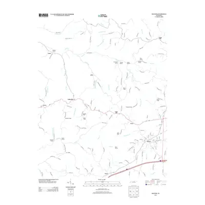
 - 1955 Map of Baxter, 1956 Print
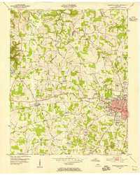
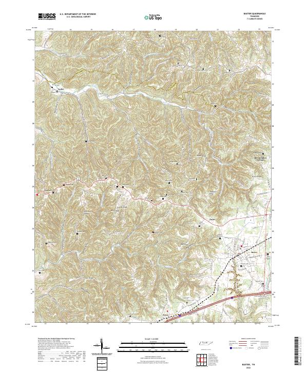
 1955 Baxter1956 Print · USGSMid-century Putnam County and the Jackson County line come alive in this detailed survey of the Highland Rim. Genealogists and researchers can trace family lands through dozens of named burials like Odd Fellows Cem or locate community hubs like Baxter Seminary and Philadelphia Sch.3 unique versions available
 - 1956 Map of Corbin, 1966 Print
 1956 Corbin1966 Print · USGSThe Kentucky and Tennessee borderlands are captured here in the mid-fifties, showing the region's shift toward modern interstate travel and reservoir development. Genealogists and historians can trace old community lines near Albany and Monticello or locate early rail junctions along the Southern and Tennessee Central lines.3 unique versions available
 - 1958 Map of Corbin
 1958 Corbin1958 Print · USGSThe Upper Cumberland borderlands appear in the late 1950s as massive reservoirs and early atomic-era growth reshape the region. Trace family roots and vanished landmarks near Lake Cumberland, Oak Ridge, and the Cumberland National Forest.
 - 1982 Map of Cookeville, 1983 Print
 1982 Cookeville1983 Print · USGSThe Upper Cumberland region comes into focus during the early eighties as Cookeville and its surrounding counties adapt to new reservoirs and highways. Researchers can trace the Louisville and Nashville rail line and locate landmarks like Tennessee Technological University and Standing Stone State Forest.
 - 2010 Map of Cookeville West, 2010 Print
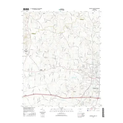
 2010 Cookeville West2010 Print · USGSCovers Baxter, including Cookeville, Rolling Meadows, and other nearby areas
 - 2010 Map of Baxter, 2010 Print
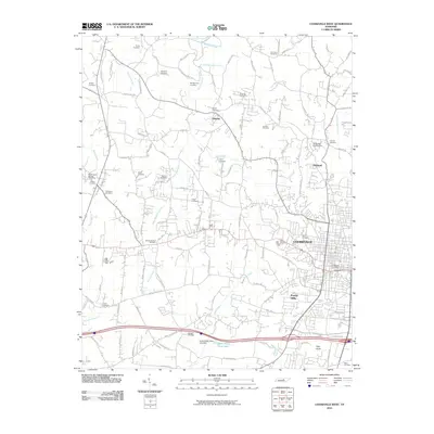
 2010 Baxter2010 Print · USGSCovers Baxter, including Boma, Lafayette, and other nearby areas
 - 2013 Map of Cookeville West, 2013 Print
 2013 Cookeville West2013 Print · USGSCovers Baxter, including Cookeville, Rolling Meadows, and other nearby areas
 - 2013 Map of Baxter, 2013 Print
 2013 Baxter2013 Print · USGSCovers Baxter, including Boma, Lafayette, and other nearby areas
 - 2016 Map of Cookeville West, 2016 Print
 2016 Cookeville West2016 Print · USGSCovers Baxter, including Cookeville, Rolling Meadows, and other nearby areas
 - 2016 Map of Baxter, 2016 Print
 2016 Baxter2016 Print · USGSCovers Baxter, including Boma, Lafayette, and other nearby areas
 - 2019 Map of Baxter, 2019 Print
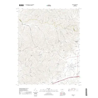 2019 Baxter2019 Print · USGSCovers Baxter, including Boma, Lafayette, and other nearby areas
 - 2019 Map of Cookeville West, 2019 Print
 2019 Cookeville West2019 Print · USGSCovers Baxter, including Cookeville, Rolling Meadows, and other nearby areas
 - 2022 Map of Baxter, 2022 Print
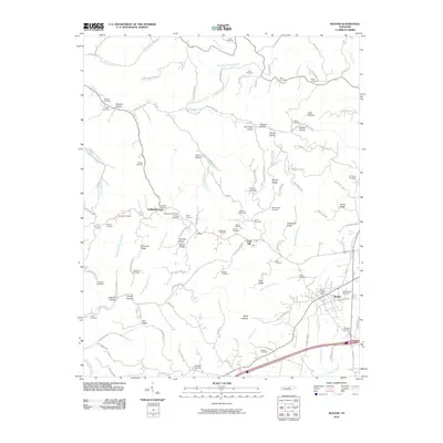
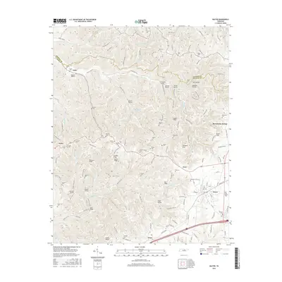
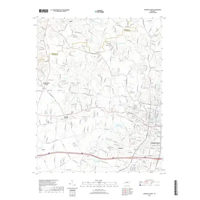
 2022 Baxter2022 Print · USGSUpper Cumberland ridge country and the town of Baxter are shown here in the modern era, where steep hollows meet the plateau. Genealogists can trace family heritage through dozens of rural burial sites like the Odd Fellows Cem, Smeltage Cem, and Albert Dyer Cem.
 - 2022 Map of Cookeville West, 2022 Print
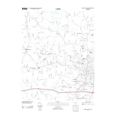
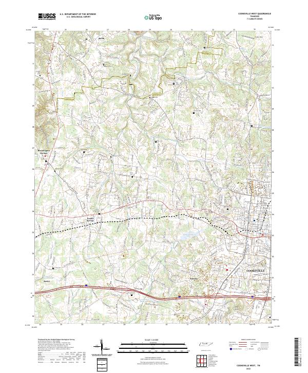 2022 Cookeville West2022 Print · USGSCookeville and the surrounding Putnam County countryside are mapped here in the early twenty-first century. Researchers can trace family history through a high density of rural burial sites like Double Springs Cem, Pippin Cem, and the Tennessee Technological University campus.
End of results
Showing maps 1-17 of 17
Top cities near Baxter
- Cookeville historical maps
- Sparta historical maps
- Smithville historical maps
- Algood historical maps
- Gainesboro historical maps
Top neighborhoods of Baxter
Frequently asked questions
- What are the different types of historical maps available for Baxter?
- What is the oldest map of Baxter?
- Where can I purchase historical maps of Baxter for my home or office?
- Where can I download high-res historical maps of Baxter?
- Are there historical topographic maps available for Baxter?
- Is there historical aerial imagery available for Baxter?
- Where are historical maps of Baxter sourced from?