Old Maps of Spring City, Tennessee for Academic Research
Study the evolution of Spring City with 25 high-resolution historic maps. Whether you're teaching, researching, or modeling changes in land use, these maps provide essential visual documentation of urban, environmental, and geographic change.
- Analyze long-term change: Track patterns in development, transportation, and natural features.
- Ideal for environmental or urban studies: Support academic projects with primary historical map data.
- Use in the classroom or lab: Educators and researchers rely on these maps to bring historical context to life.
These maps are a powerful tool for teaching, research, and visualizing how Spring City has changed over the decades.
Spring City, TN maps
(25)- 1887 Map of Kingston
 1887 Kingston1887 Print · USGSCentral Tennessee in the late nineteenth century was a world of river landings and new rail lines. Genealogists can trace family roots through riverside sites like Sevier's Ferry or rural hubs like Bogges X Roads and Ten Mile Stand.
 - 1891 Map of Kingston
 1891 Kingston1891 Print · USGSEastern Tennessee in the 1890s reveals a river-driven economy at the edge of the Cumberland Plateau. Genealogists can trace early crossings and landings such as Mc Elwee's Ferry and Pinhook Landing, or locate vanished crossroads like Kemmers Old Stand.2 unique versions available
 - 1893 Map of Kingston, 1905 Print
 1893 Kingston1905 Print · USGSEastern Tennessee at the end of the nineteenth century is a landscape of mountain gaps and vital river landings. Researchers can trace early river crossings like Jackson Ferry, the path of the Cincinnati Southern Railroad, and settlements like Rhea Springs and Kingston.5 unique versions available
 - 1935 Map of Pennine
 1935 Pennine1935 Print · USGSRhea County is captured here in the mid-1930s, showing the intersection of ridge-top settlements and valley transport corridors. Genealogists can locate family landmarks such as Milo Post Office, the Rector Mine, and Pleasant Hill Cemetery.
 - 1936 Map of Spring City
 1936 Spring City1936 Print · USGSRhea County is captured here in the mid-1930s as the Tennessee Valley Authority began modernizing the river valley. Genealogists and historians can trace family locations near Rhea Springs, visit the Pinhook Ferry, or locate rural landmarks like Wolf Creek Ch.
 - 1940 Map of Spring City
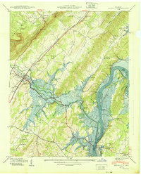 1940 Spring City1940 Print · USGSRhea County at the start of the 1940s captures a landscape on the brink of transformation as the Watts Bar Reservoir prepared to flood the valley. Genealogists and historians can trace soon-to-be-submerged sites like Rhea Springs and Mc Elwee Landing, or explore the upland reaches of Grandview and Gum Gap.2 unique versions available
 - 1949 Map of Pennine
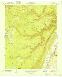 1949 Pennine1949 Print · USGSRhea County at the close of the 1940s reveals a landscape defined by the Cumberland Escarpment and the Southern rail line. Genealogists can locate family-named sites like De Vaney Cem and Thurman Cem, or trace the path of Stinging Fork Falls.
 - 1953 Map of Chattanooga
 1953 Chattanooga1953 Print · USGSSoutheast Tennessee in the early fifties shows a landscape reshaped by river management and rail power. Trace the rail lines of the Southern Ry through riverside towns or locate the preserved grounds of the Chickamauga and Chattanooga National Military Park.
 - 1957 Map of Chattanooga, 1966 Print
 1957 Chattanooga1966 Print · USGSEast Tennessee in the mid-1960s shows a landscape of massive hydroelectric reservoirs and emerging industrial sites like the Atomic Energy Commission (Oak Ridge Area). Trace the rail networks of the Southern Ry through Chattanooga or locate family-named ridges across the Cumberland Plateau.3 unique versions available
 - 1959 Map of Chattanooga
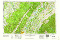 1959 Chattanooga1959 Print · USGSSoutheast Tennessee is shown here during a decade of industrial growth and hydroelectric development. Trace the regional rail networks of the Southern Ry and find landmark sites like Lookout Mountain, Fall Creek Falls State Park, and Chattanooga.
 - 1960 Map of Chattanooga
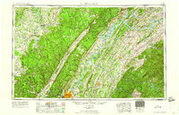 1960 Chattanooga1960 Print · USGSSoutheast Tennessee and the southern Appalachians are shown here at the height of the river-management era. You can trace the valley rail lines and locate Lookout Mountain and the expansive waters of Chickamauga Reservoir.
 - 1964 Map of Chattanooga
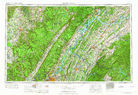 1964 Chattanooga1964 Print · USGSSoutheast Tennessee and the western Carolinas appear in the mid-sixties as a powerhouse of river-driven industry and mountain wilderness. Genealogists and historians can trace rail-town lineages along the Southern Ry or locate family landmarks near Watts Bar Lake and Tellico Plains.
 - 1966 Map of Spring City, 1968 Print
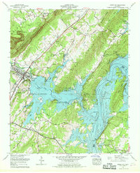 1966 Spring City1968 Print · USGSSpring City and the Tennessee River valley are captured in the mid-1960s as recreation and industry reshaped the shoreline. Genealogists can trace family landmarks like Rhea Springs Cem, Oak Grove Ch, and the Southern Railway line.4 unique versions available
 - 1973 Map of Pennine, 1974 Print
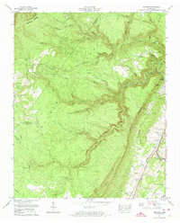 1973 Pennine1974 Print · USGSRhea County at the base of the Cumberland Plateau in the early seventies shows a landscape defined by the ridge and the rail. Family historians can trace early settlements and burial sites like Pennine, Bonham, and the Wasson Cem along the Southern line.2 unique versions available
 - 1981 Map of Watts Bar Lake, 1984 Print
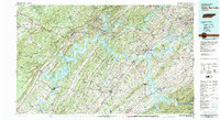 1981 Watts Bar Lake1984 Print · USGSEast Tennessee's river valleys and industrial corridors are captured here during the expansion of the TVA power system in the early eighties. Researchers can trace the legacy of the Southern Railway and the development of Watts Bar Lake and Tellico Lake.2 unique versions available
 - 2010 Map of Pennine, 2010 Print
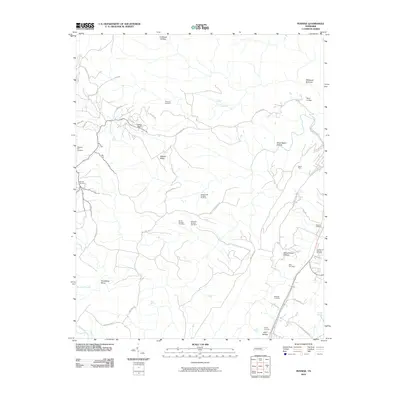 2010 Pennine2010 Print · USGSThe Cumberland Plateau edge in Rhea County is documented here during the early 2010s, showing the intersection of mountain industry and rural life. Trace family history and local industry through the Rector Mine and several historic burial grounds like Miller Cemetery and Wassom Cemetery.
 - 2011 Map of Spring City, 2011 Print
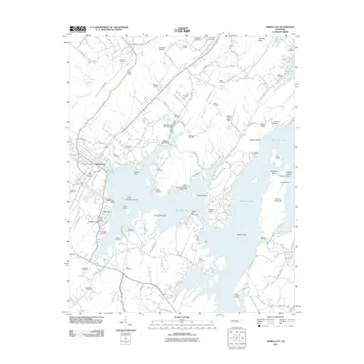 2011 Spring City2011 Print · USGSEastern Tennessee's riverfront life is on display here as the reservoir era shapes the landscape around Spring City. Genealogists and local historians can trace family roots through numerous sites like Rhea Springs Cemetery, Mars Hill Church, and Barker Island.
 - 2013 Map of Pennine, 2013 Print
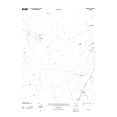 2013 Pennine2013 Print · USGSRhea County is shown here in the early twenty-first century, a landscape of the Cumberland Plateau where mountain roads wind through high ridges and deep hollows. Researchers can trace the drainages of Stinging Fork Falls or locate settlements like Pennine and Bonham.
 - 2013 Map of Spring City, 2013 Print
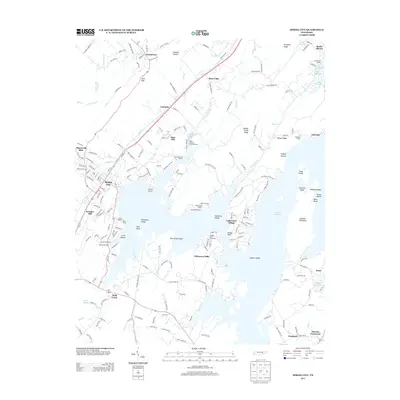 2013 Spring City2013 Print · USGSSpring City and the sprawling shoreline of Watts Bar Lake are captured here in the early twenty-first century. Genealogists and local historians can trace family-named sites across the water and hills, from Cemetery Island and Mars Hill to the rural intersection at Akeman Crossroad.
 - 2016 Map of Pennine, 2016 Print
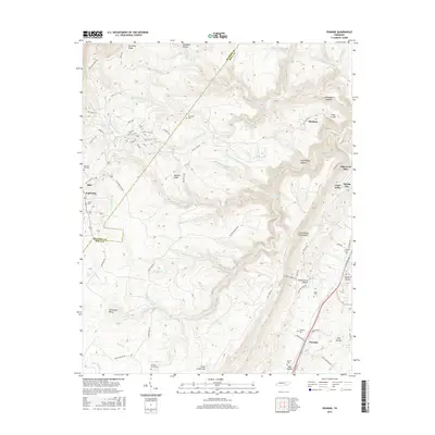 2016 Pennine2016 Print · USGSThe Cumberland Escarpment meets the Tennessee Valley during the mid-2010s, revealing a landscape of high ridges and deep hollows. Genealogists can trace family connections through numerous upland burial sites like Wassom Cem and Thurman Cem near the settlement of Pennine.
 - 2016 Map of Spring City, 2016 Print
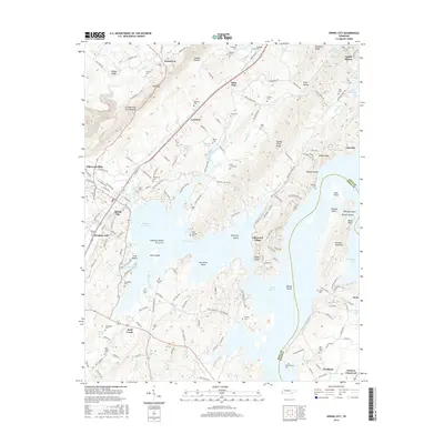 2016 Spring City2016 Print · USGSThe Tennessee River Valley meets the heights of the Cumberland Escarpment in this contemporary Rhea County survey. Researchers can trace family sites like Rhea Springs Cem and Godbehere Cem or explore islands such as Duck Island.
 - 2019 Map of Spring City, 2019 Print
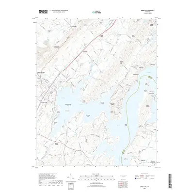 2019 Spring City2019 Print · USGSThe Tennessee River valley south of Walden Ridge is defined by the expansive waters of Watts Bar Lake and the growth of Spring City. Researchers can trace family history through dozens of rural sites like Godbehere Cem, Rhea Springs, and Peakland.
 - 2019 Map of Pennine, 2019 Print
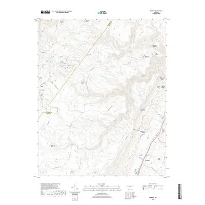 2019 Pennine2019 Print · USGSThe eastern edge of the Tennessee plateau comes into sharp focus in this late 2010s study of Rhea and Bledsoe Counties. Researchers can trace family history at several burial sites like Hickory Grove Cem or locate rural settlements such as Pennine and Bonham.
 - 2022 Map of Spring City, 2022 Print
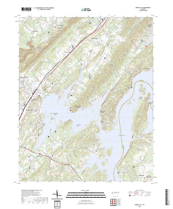 2022 Spring City2022 Print · USGSThe Cumberland Escarpment meets the waters of Watts Bar Lake in this modern survey of eastern Tennessee. Local historians can trace dozens of family burial grounds, including Godbehere Cem, Treadway Cem, and the historic Euchee Chapel.
 - 2022 Map of Pennine, 2022 Print
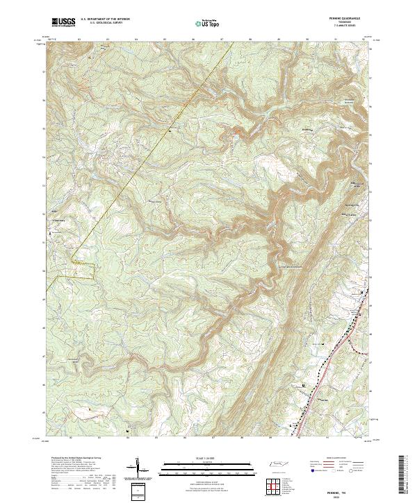 2022 Pennine2022 Print · USGSThe Rhea County highlands and the steep drop of the Cumberland Escarpment appear in high detail during the early 2020s. Genealogists and hikers can trace the Cumberland Trail past remote sites like Thurman Cem and Stinging Fork Falls.
End of results
Showing maps 1-25 of 25
Top cities near Spring City
- Athens historical maps
- Crossville historical maps
- Dayton historical maps
- Rockwood historical maps
- Decatur historical maps
- Crab Orchard historical maps
Top neighborhoods of Spring City
Frequently asked questions
- What are the different types of historical maps available for Spring City?
- What is the oldest map of Spring City?
- Where can I purchase historical maps of Spring City for my home or office?
- Where can I download high-res historical maps of Spring City?
- Are there historical topographic maps available for Spring City?
- Is there historical aerial imagery available for Spring City?
- Where are historical maps of Spring City sourced from?