Old Maps of Murfreesboro, Tennessee for Academic Research
Study the evolution of Murfreesboro with 42 high-resolution historic maps. Whether you're teaching, researching, or modeling changes in land use, these maps provide essential visual documentation of urban, environmental, and geographic change.
- Analyze long-term change: Track patterns in development, transportation, and natural features.
- Ideal for environmental or urban studies: Support academic projects with primary historical map data.
- Use in the classroom or lab: Educators and researchers rely on these maps to bring historical context to life.
These maps are a powerful tool for teaching, research, and visualizing how Murfreesboro has changed over the decades.
Murfreesboro, TN maps
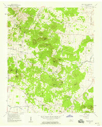
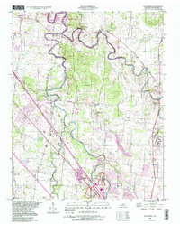
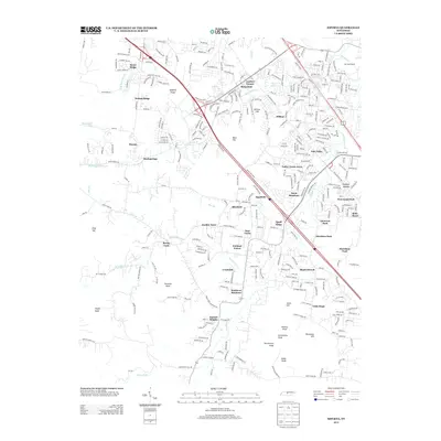
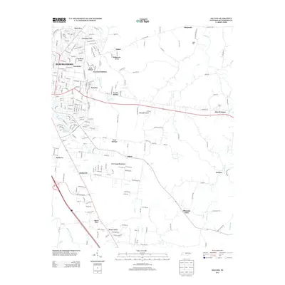
(42)- 1916 Map of Murfreesboro
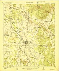 1916 Murfreesboro1916 Print · USGSMurfreesboro and the surrounding Rutherford County hills are captured here just before the era of modern highway expansion. Genealogists and historians can trace the grounds of the Stone River Battlefield, locate vanished rural stops like Salem Overall PO, and find family-named landmarks such as Vaughters Knob.2 unique versions available
 - 1942 Map of Lebanon, 1944 Print
 1942 Lebanon1944 Print · USGSMiddle Tennessee at the start of the war years reveals a landscape of historic homesteads and burgeoning military infrastructure. Genealogists and historians can trace family locations near The Hermitage, follow the Tennessee Central rail lines, or locate the newly established Smyrna Air Base.
 - 1950 Map of Walterhill
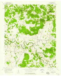
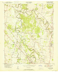 1950 Walterhill1950 Print · USGSMid-century Rutherford County comes to life through the winding forks of the river and the hallowed grounds of the Stones River National Military Park. Researchers can trace the old paths of Old Jefferson or locate family roots near Hickory Grove Ch and Burleson Cem.5 unique versions available
 - 1950 Map of Murfreesboro, 1952 Print
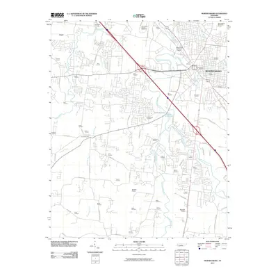
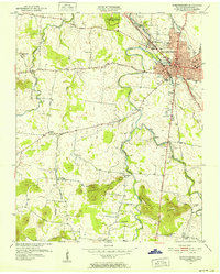 1950 Murfreesboro1952 Print · USGSMurfreesboro and the surrounding Rutherford County countryside are captured here just after the war. Local historians can trace the NASHVILLE CHATTANOOGA AND ST LOUIS RR corridor and locate historic sites like Stones River National Military Park or the Washington Cemetery.5 unique versions available
 - 1956 Map of Dillton, 1957 Print
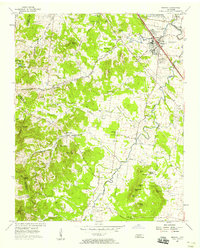
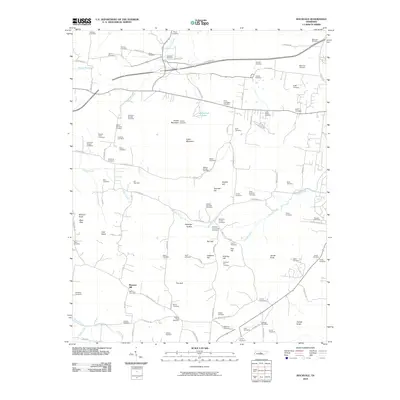
 1956 Dillton1957 Print · USGSRutherford County in the mid-fifties shows the expansion of Murfreesboro near Middle Tennessee State College and the surrounding rural hamlets. Local historians can trace old community hubs like Dillton, Mankinville, and Floraton, along with landmarks like Taylors Chapel and Todds Lake.3 unique versions available
 - 1956 Map of Columbia, 1960 Print
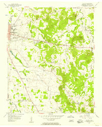
 1956 Columbia1960 Print · USGSMiddle Tennessee in the mid-fifties presents a landscape of established river towns and critical rail hubs before the arrival of the modern interstate system. Researchers can trace the routes of the Louisville and Nashville railroad or locate historic landmarks like Stones River National Military Park and the Tennessee National Wildlife Refuge.6 unique versions available
 - 1957 Map of Rockvale, 1958 Print
 1957 Rockvale1958 Print · USGSRutherford and Williamson counties in the late fifties show a landscape of high knobs and rural crossroads. Genealogists can locate family landmarks like Dyer Cem and Carlton Cem or trace the early paths of Windrow Road and Almaville Road.2 unique versions available
 - 1957 Map of Lascassas, 1958 Print
 1957 Lascassas1958 Print · USGSRutherford County in the late fifties is captured here as a landscape of river-valley farms and high knobs. Genealogists can trace family roots through numerous sites like Patterson Cem, Walnut Grove Ch, and the community of Lascassas.3 unique versions available
 - 1957 Map of Smyrna, 1958 Print
 1957 Smyrna1958 Print · USGSSmyrna and northern Rutherford County are captured here in the late fifties as rural life met the expansion of the Sewart Air Force Base. Trace family landmarks like the Sam Davis Home, Rosenwald Sch, and the Mapleview Cem.4 unique versions available
 - 1985 Map of Murfreesboro, 1986 Print
 1985 Murfreesboro1986 Print · USGSMiddle Tennessee in the mid-1980s shows a landscape of growing towns and deep-rooted rural outposts. Local researchers can trace old family lines near Bell Buckle, locate landmarks like Donnel Chapel, or explore the grounds of Henry Horton State Park and Hoovers Gap.
 - 1998 Map of Smyrna, 1999 Print
 1998 Smyrna1999 Print · USGSRutherford and Davidson counties are mapped here in the late nineties as regional growth begins to reshape the landscape. Genealogists and researchers can trace local family lineages through numerous small burial sites like Dewitt Smith Jobe Cem, Sanford Cem, and the Sam Davis Home Cem.
 - 1998 Map of Walterhill, 1999 Print
 1998 Walterhill1999 Print · USGSRutherford County in the late nineties shows a landscape where growing Murfreesboro meets the winding forks of the Stones River. Genealogists can locate family landmarks like Waller Cem and Hickory Grove Ch, or trace the grounds of Stones River National Battlefield.
 - 2010 Map of Lascassas, 2010 Print
 2010 Lascassas2010 Print · USGSCovers Murfreesboro, including Brian Manor, Browns Mill, and other nearby areas
 - 2010 Map of Dillton, 2010 Print
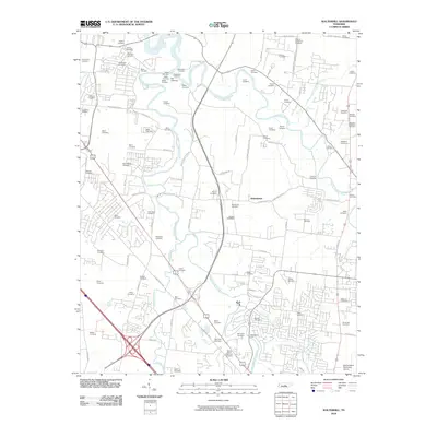
 2010 Dillton2010 Print · USGSCovers Murfreesboro, including Dillton, Floraton, and other nearby areas
 - 2010 Map of Smyrna, 2010 Print
 2010 Smyrna2010 Print · USGSCovers Murfreesboro, including Nashville, Smyrna, and other nearby areas
 - 2010 Map of Murfreesboro, 2010 Print
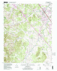
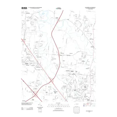
 2010 Murfreesboro2010 Print · USGSCovers Murfreesboro, including Creekwood, Ridgefield, and other nearby areas
 - 2010 Map of Rockvale, 2010 Print
 2010 Rockvale2010 Print · USGSCovers Murfreesboro, including Crestwood, Cedar Grove, and other nearby areas
 - 2010 Map of Walterhill, 2010 Print
 2010 Walterhill2010 Print · USGSCovers Murfreesboro, including Smyrna, Rowland Estates, and other nearby areas
 - 2013 Map of Lascassas, 2013 Print
 2013 Lascassas2013 Print · USGSCovers Murfreesboro, including Brian Manor, Browns Mill, and other nearby areas
 - 2013 Map of Smyrna, 2013 Print
 2013 Smyrna2013 Print · USGSCovers Murfreesboro, including Nashville, Smyrna, and other nearby areas
 - 2013 Map of Walterhill, 2013 Print
 2013 Walterhill2013 Print · USGSCovers Murfreesboro, including Smyrna, Rowland Estates, and other nearby areas
 - 2013 Map of Rockvale, 2013 Print
 2013 Rockvale2013 Print · USGSCovers Murfreesboro, including Crestwood, Cedar Grove, and other nearby areas
 - 2013 Map of Murfreesboro, 2013 Print
 2013 Murfreesboro2013 Print · USGSCovers Murfreesboro, including Creekwood, Ridgefield, and other nearby areas
 - 2013 Map of Dillton, 2013 Print
 2013 Dillton2013 Print · USGSCovers Murfreesboro, including Dillton, Floraton, and other nearby areas
 - 2016 Map of Dillton, 2016 Print
 2016 Dillton2016 Print · USGSCovers Murfreesboro, including Dillton, Floraton, and other nearby areas
Showing maps 1-25 of 42
Top cities near Murfreesboro
- Nashville historical maps
- Smyrna historical maps
- La Vergne historical maps
- Nolensville historical maps
- Eagleville historical maps
Top neighborhoods of Murfreesboro
- Esquire Estates historical maps
- Lascassas Villa historical maps
- Barfield Meadows historical maps
- Battleground Estates historical maps
- Green Meadows historical maps
- Broodwood historical maps
See more
Frequently asked questions
- What are the different types of historical maps available for Murfreesboro?
- What is the oldest map of Murfreesboro?
- Where can I purchase historical maps of Murfreesboro for my home or office?
- Where can I download high-res historical maps of Murfreesboro?
- Are there historical topographic maps available for Murfreesboro?
- Is there historical aerial imagery available for Murfreesboro?
- Where are historical maps of Murfreesboro sourced from?