Old Maps of Kingsport, Tennessee
Explore 36 old maps of Kingsport, spanning from 1891 to today. These high-resolution historic maps reveal how streets, neighborhoods, landmarks, and natural features evolved over time — perfect for genealogy, metal detecting, research, and local history exploration.
What you can do with these maps:
- See how Kingsport changed over time: Compare historical maps to modern-day views to trace roads, homesites, rail lines & more.
- View detailed metadata: Each map includes creators, publishers, year, scale, and archive source.
- Overlay maps with satellite & LiDAR: Visualize the past alongside modern tools to explore terrain & human change.
- Trusted historical sources: Maps sourced from the USGS, Library of Congress, and other archives.
- Access maps your way: View online, download high-res files, or order prints for personal or research use.
Start exploring old maps of Kingsport to uncover forgotten places, hidden landmarks, and the deep history beneath your feet.
Kingsport, TN maps
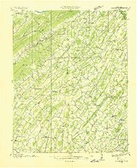
(36)- 1891 Map of Roan Mountain
 1891 Roan Mountain1891 Print · USGSCovers Kingsport, including Johnson City, Bristol, and other nearby areas
 - 1892 Map of Greeneville
 1892 Greeneville1892 Print · USGSCovers Kingsport, including Johnson City, Greeneville, and other nearby areas
 - 1894 Map of Roan Mountain
 1894 Roan Mountain1894 Print · USGSCovers Kingsport, including Johnson City, Bristol, and other nearby areas3 unique versions available
 - 1894 Map of Estillville, 1909 Print
 1894 Estillville1909 Print · USGSCovers Kingsport, including Bloomingdale, Church Hill, and other nearby areas3 unique versions available
 - 1896 Map of Greeneville
 1896 Greeneville1896 Print · USGSCovers Kingsport, including Johnson City, Greeneville, and other nearby areas2 unique versions available
 - 1897 Map of Bristol
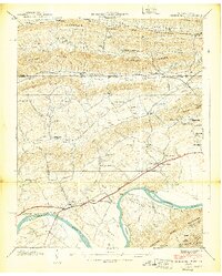
 1897 Bristol1897 Print · USGSCovers Kingsport, including Bristol, Bristol, and other nearby areas
 - 1902 Map of Bristol
 1902 Bristol1902 Print · USGSCovers Kingsport, including Bristol, Bristol, and other nearby areas6 unique versions available
 - 1904 Map of Roan Mountain
 1904 Roan Mountain1904 Print · USGSCovers Kingsport, including Johnson City, Bristol, and other nearby areas4 unique versions available
 - 1904 Map of Greeneville
 1904 Greeneville1904 Print · USGSCovers Kingsport, including Johnson City, Greeneville, and other nearby areas4 unique versions available
 - 1935 Map of Lovelace
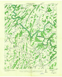
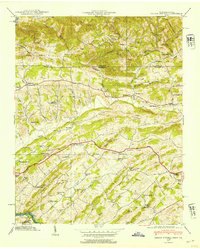
 1935 Lovelace1935 Print · USGSCovers Kingsport, including Church Hill, Fall Branch, and other nearby areas
 - 1935 Map of Sullivan Gardens
 1935 Sullivan Gardens1935 Print · USGSCovers Kingsport, including Johnson City, Fall Branch, and other nearby areas
 - 1935 Map of Moggasin
 1935 Moggasin1935 Print · USGSCovers Kingsport, including Bloomingdale, Church Hill, and other nearby areas
 - 1935 Map of Kingsport
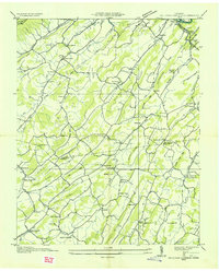
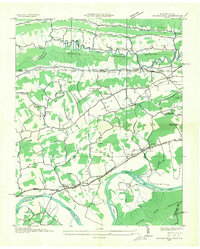
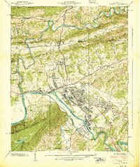
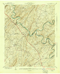
 1935 Kingsport1935 Print · USGSCovers Kingsport, including Bloomingdale, Gate City, and other nearby areas
 - 1935 Map of Spurgeon
 1935 Spurgeon1935 Print · USGSCovers Kingsport, including Johnson City, Oak Grove, and other nearby areas
 - 1935 Map of Indian Springs
 1935 Indian Springs1935 Print · USGSCovers Kingsport, including Bloomingdale, Rock City, and other nearby areas
 - 1935 Map of Mages
 1935 Mages1935 Print · USGSCovers Kingsport, including Bristol, Bloomingdale, and other nearby areas
 - 1935 Map of Fall Branch
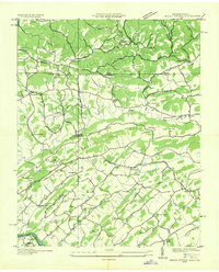
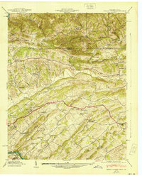
 1935 Fall Branch1935 Print · USGSCovers Kingsport, including Johnson City, Church Hill, and other nearby areas
 - 1935 Map of Church Hill
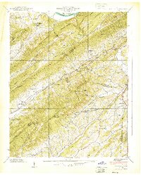
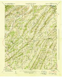
 1935 Church Hill1935 Print · USGSCovers Kingsport, including Church Hill, Frisco, and other nearby areas
 - 1939 Map of Church Hill
 1939 Church Hill1939 Print · USGSCovers Kingsport, including Church Hill, Frisco, and other nearby areas3 unique versions available
 - 1939 Map of Lovelace
 1939 Lovelace1939 Print · USGSCovers Kingsport, including Church Hill, Fall Branch, and other nearby areas4 unique versions available
 - 1939 Map of Kingsport
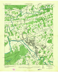
 1939 Kingsport1939 Print · USGSCovers Kingsport, including Bloomingdale, Gate City, and other nearby areas2 unique versions available
 - 1939 Map of Sullivan Gardens
 1939 Sullivan Gardens1939 Print · USGSCovers Kingsport, including Johnson City, Fall Branch, and other nearby areas
 - 1939 Map of Indian Springs, 1954 Print
 1939 Indian Springs1954 Print · USGSCovers Kingsport, including Bloomingdale, Rock City, and other nearby areas
 - 1940 Map of Indian Springs
 1940 Indian Springs1940 Print · USGSCovers Kingsport, including Bloomingdale, Rock City, and other nearby areas
 - 1940 Map of Spurgeon
 1940 Spurgeon1940 Print · USGSCovers Kingsport, including Johnson City, Oak Grove, and other nearby areas4 unique versions available
Showing maps 1-25 of 36
Top cities near Kingsport
- Johnson City historical maps
- Bristol historical maps
- Elizabethton historical maps
- Bloomingdale historical maps
- Church Hill historical maps
- Jonesborough historical maps
See more
Top neighborhoods of Kingsport
- Beechcliff Estates historical maps
- Lewis Lane historical maps
- Lynn Garden historical maps
- Borden Village historical maps
- Morrison City historical maps
- Preston Forest historical maps
See more
Frequently asked questions
- What are the different types of historical maps available for Kingsport?
- What is the oldest map of Kingsport?
- Where can I purchase historical maps of Kingsport for my home or office?
- Where can I download high-res historical maps of Kingsport?
- Are there historical topographic maps available for Kingsport?
- Is there historical aerial imagery available for Kingsport?
- Where are historical maps of Kingsport sourced from?