2010s Maps of Trousdale County, Tennessee
Explore 28 historic maps of Trousdale County from the 2010s. These maps offer a rare glimpse into what life looked like during the 2010s — showing old roads, neighborhoods, homes, and landmarks that have changed or disappeared over time.
Whether you're researching your family's past, planning a metal detecting trip, or studying how Trousdale County's landscape evolved across the 2010s, these high-resolution maps are a powerful tool for exploring the history of this region.
- Focus on a specific era: All maps on this page are from the 2010s, giving you a focused view of this time period.
- See what’s changed: Compare century-old streets, trails, and buildings to today's modern landscape using overlays and satellite layers.
- Research with precision: Use these maps for genealogy, historical research, land use analysis, or educational projects.
- View, download, or print: Maps are fully viewable online in high resolution, and can be downloaded or printed for your own records.
Start exploring Trousdale County's history through authentic maps from the 2010s. This is your window into the past.
Trousdale County, TN maps
(28)- 2010 Map of Hillsdale, 2010 Print
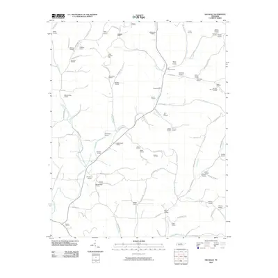 2010 Hillsdale2010 Print · USGSMacon County's rural landscape is documented here in the early twenty-first century, showing a terrain defined by narrow hollows and family homesteads. Genealogists can locate numerous family burial sites like Stalcup Cemetery, Wallace Cemetery, and the Meador Family Cemetery.
 - 2010 Map of Hunters Point, 2010 Print
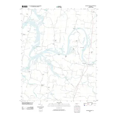 2010 Hunters Point2010 Print · USGSThe Cumberland River valley north of Lebanon comes into focus in this early twenty-first-century survey of Old Hickory Lake. Researchers can trace family history at Ebeneezer Cemetery or explore the river terrain at Indian Ladder Bluff and Belotes Bar.
 - 2010 Map of Bethpage, 2010 Print
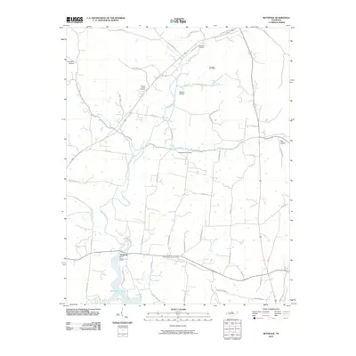 2010 Bethpage2010 Print · USGSSumner County, Tennessee, is captured here in the early 2000s as a landscape of creekside hollows and lakeside recreation. Genealogists and local historians can trace family locations near the Bethpage Post Office, Oakland, and Old Hopewell Cemetery.
 - 2010 Map of Dixon Springs, 2010 Print
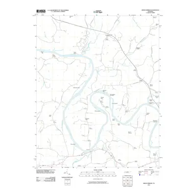 2010 Dixon Springs2010 Print · USGSSmith County is defined by the winding Cumberland River in this modern survey of its rural landscapes and historic river landings. Genealogists can trace family footprints through sites like the Rome Ferry, Kennys Cemetery, and the Riddleton Post Office.
 - 2010 Map of Hartsville, 2010 Print
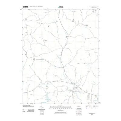 2010 Hartsville2010 Print · USGSThe river-valley town of Hartsville and its surrounding Trousdale County ridges are captured here as they appeared in 2010. Local historians can trace family roots through markers like Wolf Hill Cemetery, Charlton Cemetery, and the many named hollows lining Little Goose Creek.
 - 2010 Map of Bellwood, 2010 Print
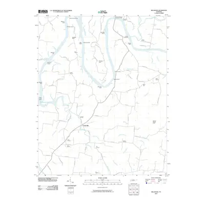 2010 Bellwood2010 Print · USGSCenterville and the river bends of Wilson County are shown in detail at the turn of the twenty-first century. Local historians can trace family ties at Tomlinson Cemetery or explore the river terrain at Beasleys Bend and Spanish Needle Knob.
 - 2010 Map of Pleasant Shade, 2010 Print
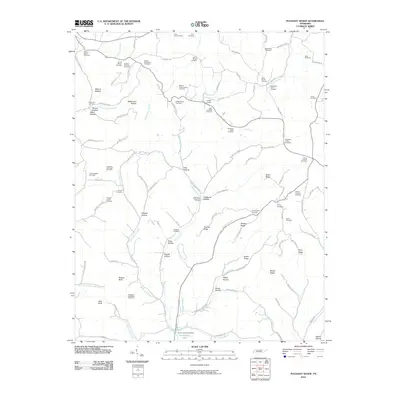 2010 Pleasant Shade2010 Print · USGSPleasant Shade and the surrounding Macon County countryside are captured here in the early twenty-first century as a landscape of family farms and deep hollows. Researchers can locate dozens of ancestral burial sites, including the Frogpond-Friendship Cemetery, Union Camp, and the John R Brooks Cemetery.
 - 2013 Map of Hunters Point, 2013 Print
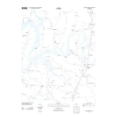 2013 Hunters Point2013 Print · USGSWilson County's riverfront communities are captured here in the early twenty-first century as suburban growth reaches the historic bends of the Cumberland. Trace the local landscape through named settlements like Oakland and landmarks such as Indian Ladder Bluff and the Nathan J Harsh Bridge.
 - 2013 Map of Bethpage, 2013 Print
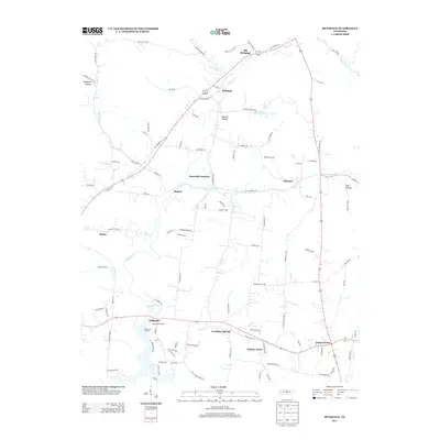 2013 Bethpage2013 Print · USGSSumner County, Tennessee, is captured here in the early twenty-first century, showing the rural character around Castalian Springs and the Bledsoe Cr valley. Researchers can pinpoint long-standing local landmarks such as Paynes Store, Old Bethpage, and the Red Chief Orchard.
 - 2013 Map of Dixon Springs, 2013 Print
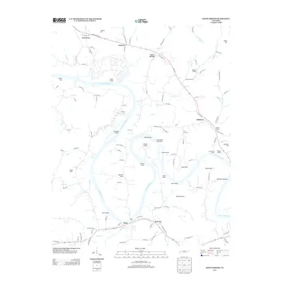 2013 Dixon Springs2013 Print · USGSThe Cumberland River winds through northern Tennessee in this 2013 survey, revealing a landscape of historic ferry crossings and river bends. Trace local history through Rome Ferry, Bridgewaters Landing, and the settlements of Riddleton and Dixon Springs.
 - 2013 Map of Hillsdale, 2013 Print
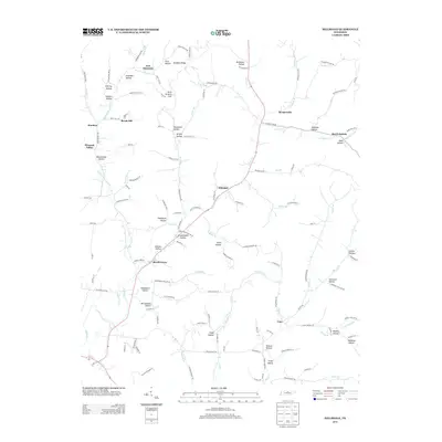 2013 Hillsdale2013 Print · USGSIn the early 2010s, this pocket of northern Tennessee reveals a landscape deeply etched by its creek-bed settlements. Researchers can trace historical family locations in McClanahan Hollow or follow the valley roads between Hillsdale and Meadorville.
 - 2013 Map of Pleasant Shade, 2013 Print
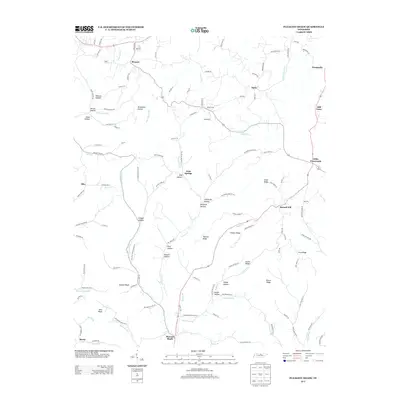 2013 Pleasant Shade2013 Print · USGSThis Tennessee countryside near the Macon and Smith county line shows a landscape defined by deep hollows and high ridges. Genealogists can trace family footprints across Pleasant Shade, Mill-Town, and the bluffs at Mutton Bluff or Alex Bluff.
 - 2013 Map of Hartsville, 2013 Print
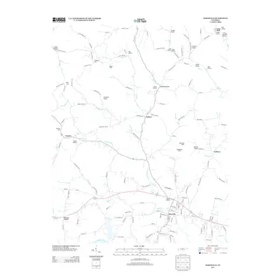 2013 Hartsville2013 Print · USGSTrousdale County and the Cumberland River valley are shown here in the early twenty-first century as the landscape remains defined by its ridge-and-valley topography. Genealogists can trace family-named features like Jim Hollow and Knight Hollow alongside established towns like Hartsville and Halltown.
 - 2013 Map of Bellwood, 2013 Print
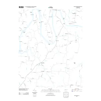 2013 Bellwood2013 Print · USGSNear the banks of the Cumberland River in the early twenty-first century, this area shows a landscape defined by sharp river bends and historic landings. Researchers can trace local lineage near Centerville, Shady Grove, and Taylorsville, or locate family-named features like Beasleys Bend and Whites Bluff.
 - 2016 Map of Hillsdale, 2016 Print
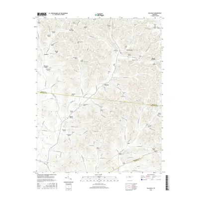 2016 Hillsdale2016 Print · USGSThe hills of Macon and Trousdale counties are meticulously detailed in this survey of rural Middle Tennessee. Genealogists can trace family heritage through dozens of namesake sites like the Jim Meador Cem, Adamson Hollow, and the crossroads at Meadorville.
 - 2016 Map of Hartsville, 2016 Print
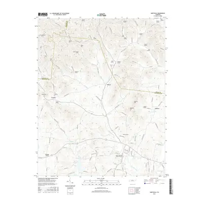 2016 Hartsville2016 Print · USGSHartsville and its rural neighbors in Trousdale County appear here in the mid-2010s, showing a landscape of deep hollows and creek-side settlements. Genealogists can locate family-named sites like Wolf Hill Cem, Gifford Hollow, and the communities of Templow and Willard.
 - 2016 Map of Bellwood, 2016 Print
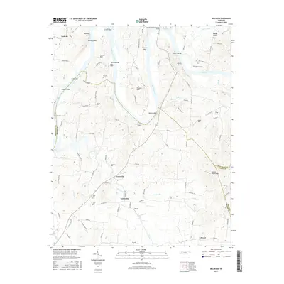 2016 Bellwood2016 Print · USGSWilson and Smith counties appear here during the mid-2010s, where the winding Cumberland River meets a dense network of family cemeteries and farmsteads. Genealogists and local historians can trace legacy sites like Speck Cem and Goshen Cem or locate landmarks such as Spanish Needle Knob and Centerville.
 - 2016 Map of Dixon Springs, 2016 Print
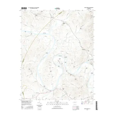 2016 Dixon Springs2016 Print · USGSThe Smith County riverfront is captured here in the mid-2010s, defined by the winding course of the Cumberland River. Genealogists can trace family heritage through local burial grounds and settlements like Riddleton, Maceys Hill Cem, and Rock City.
 - 2016 Map of Bethpage, 2016 Print
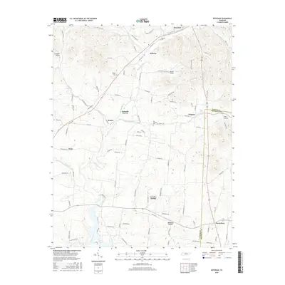 2016 Bethpage2016 Print · USGSSumner County in 2016 maintains its deep-rooted rural character across the valleys of Bledsoe Creek. Genealogists and local historians can trace legacy landmarks and burial grounds like Bethpage Cem, Old Hopewell Cem, and the crossroads at Paynes Store.
 - 2016 Map of Hunters Point, 2016 Print
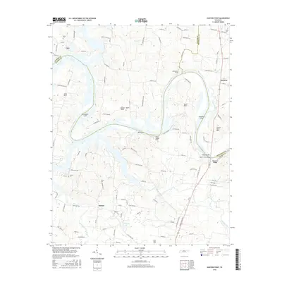 2016 Hunters Point2016 Print · USGSThe Cumberland River corridor north of Lebanon appears here in the modern era, showing where the water divides Wilson, Sumner, and Trousdale counties. Researchers can trace land ties at Ebeneezer Cem, locate the crossing at Nathan J Harsh Bridge, or study the bluffs at Sevenmile Bluff.
 - 2016 Map of Pleasant Shade, 2016 Print
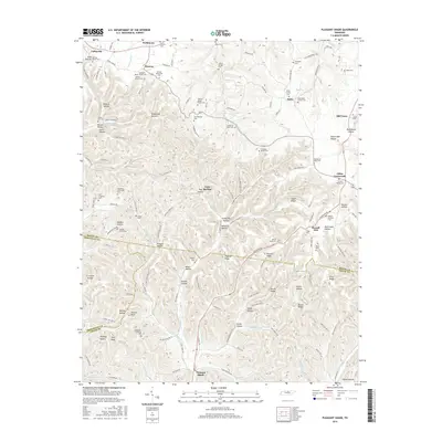 2016 Pleasant Shade2016 Print · USGSMacon County and the borderlands of Trousdale and Smith counties are captured here in the mid-2010s. Genealogists can trace dozens of family burial sites like Frogpond Friendship Cem, Patterson-Kelley Cem, and Wakefield Family Cem.
 - 2019 Map of Pleasant Shade, 2019 Print
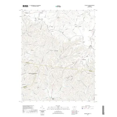 2019 Pleasant Shade2019 Print · USGSUpper Middle Tennessee is shown here in the late twenty-tens, where the ridges of Macon, Trousdale, and Smith counties meet. Researchers can trace ancestral lines through dozens of family burial sites like the Wakefield-Kirby Cem or explore the geography of Steam Mill Hollow and Pleasant Shade.
 - 2019 Map of Bellwood, 2019 Print
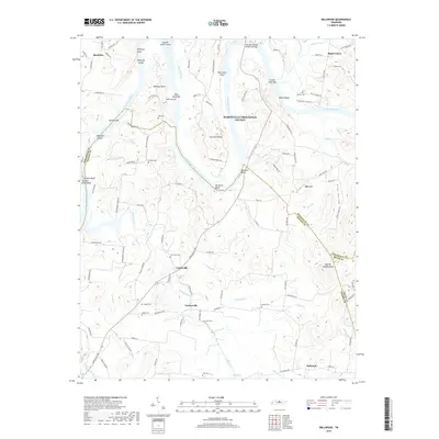 2019 Bellwood2019 Print · USGSThe Cumberland River valley comes alive in this contemporary record of North-Central Tennessee. Trace the river's path through Puryears Bend or search for family sites at Tomlinson Cem, Centerville, and Taylorsville.
 - 2019 Map of Dixon Springs, 2019 Print
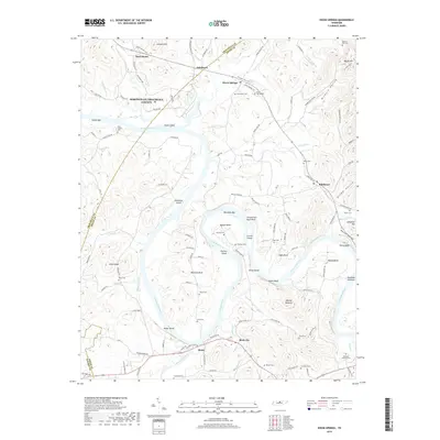 2019 Dixon Springs2019 Print · USGSThe Tennessee river country of Smith and Trousdale counties comes into focus in this late 2010s survey of the Cumberland River bends. Genealogists can trace numerous family burial grounds like Piper-Hughes Cem and Violett Cem near old settlements such as Johntown and Rome.
 - 2019 Map of Bethpage, 2019 Print
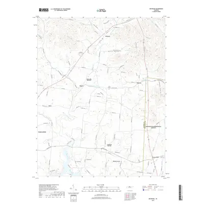 2019 Bethpage2019 Print · USGSThe rural Tennessee borderlands of Sumner and Trousdale counties appear here in great detail, following a landscape shaped by creek valleys and ridge roads. Genealogists and historians can trace family locations near Castalian Springs, Bethpage, and the Old Hopewell Cem.
Showing maps 1-25 of 28
Frequently asked questions
- What are the different types of historical maps available for Trousdale County?
- What is the oldest map of Trousdale County?
- Where can I purchase historical maps of Trousdale County for my home or office?
- Where can I download high-res historical maps of Trousdale County?
- Are there historical topographic maps available for Trousdale County?
- Is there historical aerial imagery available for Trousdale County?
- Where are historical maps of Trousdale County sourced from?