Old Maps of Crossroads, Tennessee for Academic Research
Study the evolution of Crossroads with 10 high-resolution historic maps. Whether you're teaching, researching, or modeling changes in land use, these maps provide essential visual documentation of urban, environmental, and geographic change.
- Analyze long-term change: Track patterns in development, transportation, and natural features.
- Ideal for environmental or urban studies: Support academic projects with primary historical map data.
- Use in the classroom or lab: Educators and researchers rely on these maps to bring historical context to life.
These maps are a powerful tool for teaching, research, and visualizing how Crossroads has changed over the decades.
Crossroads, TN maps
(10)- 1905 Map of Waynesboro
 1905 Waynesboro1905 Print · USGSWayne County and the Tennessee-Alabama borderlands are captured here at the start of the century, showing a network of river landings and old stage stands. Researchers can trace the Nathez Trace and locate historic community hubs like Martins Mills, Whittens Stand, and Clifton.2 unique versions available
 - 1936 Map of Light
 1936 Light1936 Print · USGSThe borderlands of Tennessee and Alabama come alive in this mid-1930s survey of rural Wayne County. Researchers can trace the heritage of Pleasant Valley through its many landmarks like Friendship Sch, Oak Grove Ch, and Sweaney Sch.
 - 1951 Map of Whitten, 1954 Print
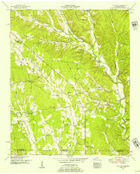 1951 Whitten1954 Print · USGSThe Tennessee-Alabama borderlands come into focus in the early fifties, showing a rural landscape of ridges and creek hollows. Genealogists can trace family landmarks like Whitten Chapel, Butler Sch, and the winding path of the Chisholm Road.2 unique versions available
 - 1956 Map of Columbia, 1960 Print
 1956 Columbia1960 Print · USGSMiddle Tennessee in the mid-fifties presents a landscape of established river towns and critical rail hubs before the arrival of the modern interstate system. Researchers can trace the routes of the Louisville and Nashville railroad or locate historic landmarks like Stones River National Military Park and the Tennessee National Wildlife Refuge.6 unique versions available
 - 1985 Map of Lawrenceburg
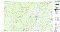 1985 Lawrenceburg1985 Print · USGSMiddle Tennessee and Northern Alabama are captured in the mid-1980s, showcasing a landscape of high ridges and winding river valleys. Genealogists and historians can trace rail lines like the Seaboard System Railroad or locate community landmarks such as Saint Marys Church and Three Churches.2 unique versions available
 - 2010 Map of Whitten, 2010 Print
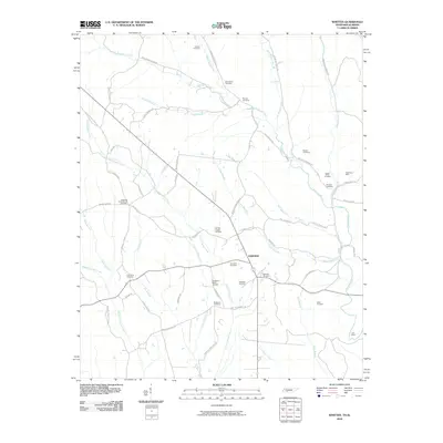 2010 Whitten2010 Print · USGSFairview and the surrounding Tennessee-Alabama borderlands are captured here in the early twenty-first century. Genealogists can trace family connections through over a dozen local burial sites, including Whitten Chapel Cemetery, Old Mount Bethel Cemetery, and Railroad Cemetery.
 - 2013 Map of Whitten, 2013 Print
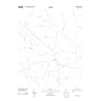 2013 Whitten2013 Print · USGSWayne County, Tennessee, near the Alabama line is captured here as it appeared recently, showing the rural settlements of Fairview and Crossroads. Researchers can trace old family holdings near Whitten Farms and follow the intricate waterways of Little Cypress Creek and Stults Branch.
 - 2016 Map of Whitten, 2016 Print
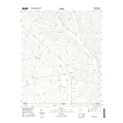 2016 Whitten2016 Print · USGSTennessee and Alabama meet along this rural boundary during the late twenty-teens, where family-named creeks and ridges define the landscape. Genealogists can locate numerous community landmarks like Whitten Chapel Cemetery, Railroad Cemetery, and the settlement of Fairview.
 - 2019 Map of Whitten, 2019 Print
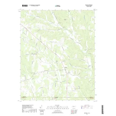 2019 Whitten2019 Print · USGSThe Tennessee-Alabama borderlands come into focus in this recent survey of the rural landscape south of the Highland Rim. Genealogists and local historians can trace family roots through numerous burial sites like Whitten Chapel Cem and Old Mount Bethel Cem.
 - 2022 Map of Whitten, 2022 Print
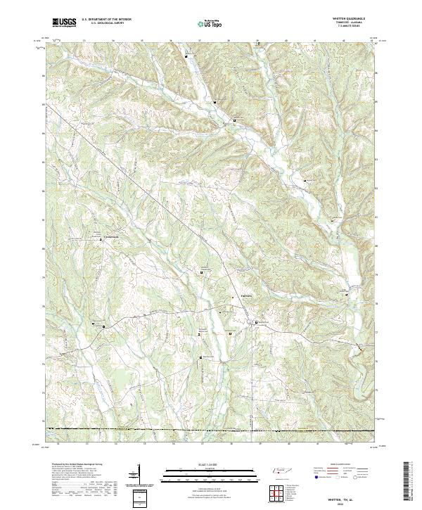 2022 Whitten2022 Print · USGSThe Tennessee-Alabama borderlands come into focus in the early 2020s, showing a landscape defined by high ridges and deep creek bottoms. Genealogists can locate numerous burial sites like Whittens Cross Roads Cem and Railroad Cem near Crossroads.
End of results
Showing maps 1-10 of 10
Top cities near Crossroads
- Florence historical maps
- Underwood-Petersville historical maps
- Collinwood historical maps
- Killen historical maps
- Saint Florian historical maps
Frequently asked questions
- What are the different types of historical maps available for Crossroads?
- What is the oldest map of Crossroads?
- Where can I purchase historical maps of Crossroads for my home or office?
- Where can I download high-res historical maps of Crossroads?
- Are there historical topographic maps available for Crossroads?
- Is there historical aerial imagery available for Crossroads?
- Where are historical maps of Crossroads sourced from?