Old Maps of Cardinal, Andrews for Metal Detecting
Plan your next treasure hunt with 9 historic maps of Cardinal. Find old homesites, ghost towns, trails, and gathering spots that may be lost to time — perfect for identifying promising metal detecting locations.
- Locate forgotten sites: Uncover places like long-lost settlements, abandoned rail lines, or gathering spots.
- Plan better hunts: Use map overlays combined with LiDAR or satellite views to narrow in on historically rich areas.
- Made for detectorists: Thousands of hobbyists use these maps to discover relics, coins, and hidden history.
Use these historic maps to boost your research and find new opportunities beneath the surface of Cardinal.
Cardinal, Andrews maps
(9)- 1954 Map of Hobbs, 1963 Print
 1954 Hobbs1963 Print · USGSThe High Plains and Permian Basin transition is captured here at the height of the mid-century energy boom. Genealogists and industrial historians can trace the foundations of Humble City, locate the Potash Mine and Plant, and follow the Texas-New Mexico RR.2 unique versions available
 - 1958 Map of Hobbs
 1958 Hobbs1958 Print · USGSThe High Plains of the Texas-New Mexico border are shown here during the height of the mid-century oil boom. Genealogists and historians can trace the development of Hobbs, Lovington, and Jal, alongside ranching landmarks like James Ranch and the early Texas-New Mexico Railway.
 - 1963 Map of Andrews, 1977 Print
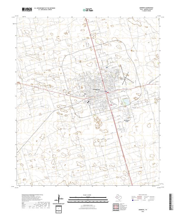
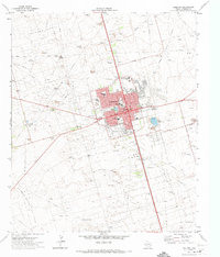 1963 Andrews1977 Print · USGSAndrews flourished as a West Texas petroleum hub during the early seventies, surrounded by vast oil fields and ranching outposts. Genealogists and researchers can trace the local infrastructure from the Courthouse to family-named landmarks like Allen Windmill and Adobe Ranch.
 - 1991 Map of Andrews, 1992 Print
 1991 Andrews1992 Print · USGSThe West Texas oil country comes into sharp focus in the early nineties, centered on the energy hub of Andrews. Researchers can trace the sprawling infrastructure of the Mabee Oil Field and Goldsmith Oil Field alongside Shafter Lake.
 - 2010 Map of Andrews, 2010 Print
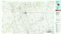
 2010 Andrews2010 Print · USGSCovers Cardinal, including Andrews, Andrews County, and other nearby areas
 - 2012 Map of Andrews, 2012 Print
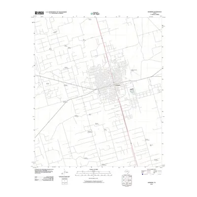
 2012 Andrews2012 Print · USGSCovers Cardinal, including Andrews, Andrews County, and other nearby areas
 - 2016 Map of Andrews, 2016 Print
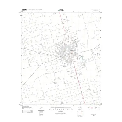
 2016 Andrews2016 Print · USGSCovers Cardinal, including Andrews, Andrews County, and other nearby areas
 - 2019 Map of Andrews, 2019 Print
 2019 Andrews2019 Print · USGSCovers Cardinal, including Andrews, Andrews County, and other nearby areas
 - 2022 Map of Andrews, 2022 Print
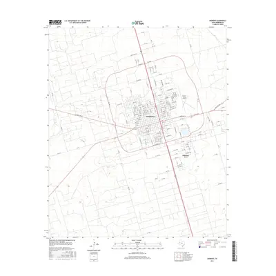
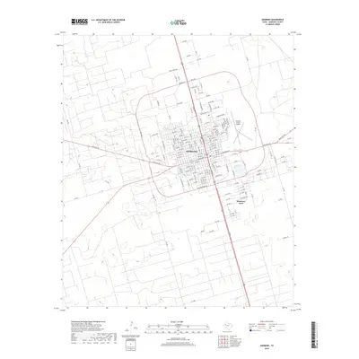
 2022 Andrews2022 Print · USGSAndrews and the surrounding high plains are documented here as they appeared in recent years, showing the city's modern footprint and rural expansion. Researchers can locate the Andrews County Old Cem, the municipal Andrews County Airport, and the community of McKinney Acres.
End of results
Showing maps 1-9 of 9
Frequently asked questions
- What are the different types of historical maps available for Cardinal?
- What is the oldest map of Cardinal?
- Where can I purchase historical maps of Cardinal for my home or office?
- Where can I download high-res historical maps of Cardinal?
- Are there historical topographic maps available for Cardinal?
- Is there historical aerial imagery available for Cardinal?
- Where are historical maps of Cardinal sourced from?