Old Maps of Pipe Creek, Texas for Genealogy
Trace your family roots with 11 historic maps of Pipe Creek. These high-res maps reveal old neighborhoods, homesites, landmarks, and streets — helping you uncover where your ancestors lived and how the area evolved over time.
- Explore historic neighborhoods: Identify where your relatives may have lived in the 1800s or 1900s.
- Compare maps over time: Trace the changes in streets, buildings, and landmarks for multi-generational research.
- Perfect for genealogy & ancestry research: Used by family historians and researchers to map out lineage and migration.
These maps are an incredible resource for exploring your personal connection to Pipe Creek's past.
Pipe Creek, TX maps
(11)- 1954 Map of San Antonio, 1964 Print
 1954 San Antonio1964 Print · USGSSan Antonio and the Texas Hill Country are captured here in the mid-fifties, showing a landscape defined by massive military air bases and the rising Canyon Reservoir. Trace family ties through historic rail towns like D'Hanis and Castroville or explore the Cold War footprint of Lackland AFB and Randolph AFB.3 unique versions available
 - 1956 Map of Medina Lake
 1956 Medina Lake1956 Print · USGSMedina Lake and the surrounding Texas highlands are captured here in the 1920s and early 1930s. Genealogists and local historians can trace family properties like Kallison Ranch and the Granieri Hotel, or locate landmarks such as the Mico P.O. and Toll Gate.
 - 1957 Map of San Antonio
 1957 San Antonio1957 Print · USGSSan Antonio and the Texas Hill Country are shown here during the mid-fifties, capturing the region's expanding post-war military and transportation footprint. Genealogists and local historians can trace the early residential boundaries of Alamo Heights or locate rural landmarks like St Hedwig and Medina Lake.
 - 1970 Map of Pipe Creek, 1973 Print
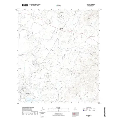
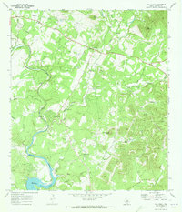 1970 Pipe Creek1973 Print · USGSBandera County settlement and Hill Country terrain are captured here in the early seventies as the community grew near the river. Researchers can trace family sites at Pipe Creek Cem, locate Wonder Hole, and follow the banks of Medina Lake.3 unique versions available
 - 1985 Map of New Braunfels
 1985 New Braunfels1985 Print · USGSThe Texas Hill Country meets the growing San Antonio suburbs in the mid-1980s, showing a landscape of river-fed towns and military grounds. Trace family roots in historic Gruene or Boerne, and locate landmarks like Canyon Lake and Randolph Air Force Base.
 - 1992 Map of New Braunfels
 1992 New Braunfels1992 Print · USGSThe San Antonio and New Braunfels corridor was expanding rapidly in the early nineties, balancing heavy military presence with Hill Country recreation. Trace the footprint of CAMP BULLIS MILITARY RESERVATION or locate old railroad stops along the Southern Pacific and Missouri Pacific lines.2 unique versions available
 - 2010 Map of Pipe Creek, 2010 Print
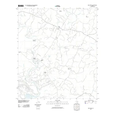 2010 Pipe Creek2010 Print · USGSCovers Pipe Creek, including Bandera Falls, English Crossing, and other nearby areas
 - 2013 Map of Pipe Creek, 2013 Print
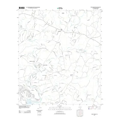 2013 Pipe Creek2013 Print · USGSCovers Pipe Creek, including Bandera Falls, English Crossing, and other nearby areas
 - 2016 Map of Pipe Creek, 2016 Print
 2016 Pipe Creek2016 Print · USGSCovers Pipe Creek, including Bandera Falls, English Crossing, and other nearby areas
 - 2019 Map of Pipe Creek, 2019 Print
 2019 Pipe Creek2019 Print · USGSCovers Pipe Creek, including Bandera Falls, English Crossing, and other nearby areas
 - 2022 Map of Pipe Creek, 2022 Print
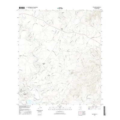
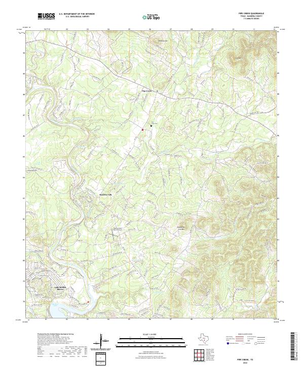 2022 Pipe Creek2022 Print · USGSBandera County's limestone hills and river bends are captured here in the early twenty-first century as ranchlands transitioned into hillside communities. Genealogists can locate the Pipe Creek Cem, while historians can trace the development of Bandera Falls and the aviation history of the Medina River Ranch Airport.
End of results
Showing maps 1-11 of 11
Top cities near Pipe Creek
- San Antonio historical maps
- Boerne historical maps
- Lakehills historical maps
- Helotes historical maps
- Center Point historical maps
- Bandera historical maps
See more
Frequently asked questions
- What are the different types of historical maps available for Pipe Creek?
- What is the oldest map of Pipe Creek?
- Where can I purchase historical maps of Pipe Creek for my home or office?
- Where can I download high-res historical maps of Pipe Creek?
- Are there historical topographic maps available for Pipe Creek?
- Is there historical aerial imagery available for Pipe Creek?
- Where are historical maps of Pipe Creek sourced from?