Old Maps of Salado, Texas
Explore 9 old maps of Salado, spanning from 1893 to today. These high-resolution historic maps reveal how streets, neighborhoods, landmarks, and natural features evolved over time — perfect for genealogy, metal detecting, research, and local history exploration.
What you can do with these maps:
- See how Salado changed over time: Compare historical maps to modern-day views to trace roads, homesites, rail lines & more.
- View detailed metadata: Each map includes creators, publishers, year, scale, and archive source.
- Overlay maps with satellite & LiDAR: Visualize the past alongside modern tools to explore terrain & human change.
- Trusted historical sources: Maps sourced from the USGS, Library of Congress, and other archives.
- Access maps your way: View online, download high-res files, or order prints for personal or research use.
Start exploring old maps of Salado to uncover forgotten places, hidden landmarks, and the deep history beneath your feet.
Salado, TX maps
(9)- 1893 Map of Georgetown
 1893 Georgetown1893 Print · USGSCentral Texas in the late 1800s was a landscape in flux as rail lines reshaped old frontier settlements. Genealogists can trace the shift from riverside villages like Bagdad and Old Round Rock to new rail hubs such as Leander and Hutto.5 unique versions available
 - 1954 Map of Austin, 1964 Print
 1954 Austin1964 Print · USGSCentral Texas is captured during a period of steady growth as the capital city and its neighboring farm towns began to modernize. Researchers can trace historic rail corridors like the Southern Pacific RR or locate landmarks such as Bergstrom Air Force Base and Pilot Knob.4 unique versions available
 - 1964 Map of Salado, 1966 Print
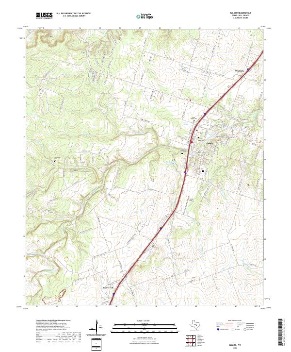
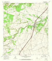 1964 Salado1966 Print · USGSCentral Texas ranching and valley life come into focus in the mid-1960s as the Interstate corridor begins to shape the region. Genealogists can trace family landmarks near Salado, the Willingham Springs Ch, and the rural community of Prairie Dell.3 unique versions available
 - 1985 Map of Taylor, 1986 Print
 1985 Taylor1986 Print · USGSWilliamson and Bell counties in the mid-eighties reveal a landscape where the cattle and cotton economy met burgeoning rail infrastructure. Genealogists and historians can trace the paths of the Missouri Pacific railroad through unique hamlets like Ding Dong, Frame Switch, and Beyersville.2 unique versions available
 - 2010 Map of Salado, 2010 Print
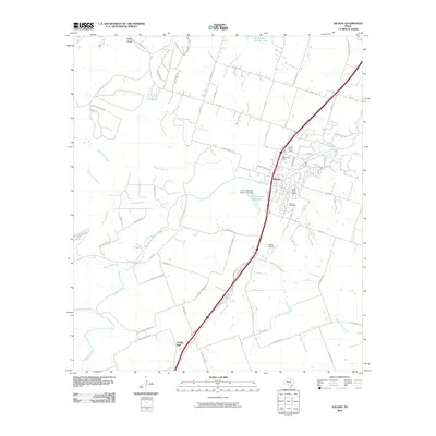 2010 Salado2010 Print · USGSCovers Salado, including Belton, Prairie Dell, and other nearby areas
 - 2013 Map of Salado, 2013 Print
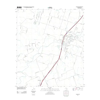 2013 Salado2013 Print · USGSCovers Salado, including Belton, Prairie Dell, and other nearby areas
 - 2016 Map of Salado, 2016 Print
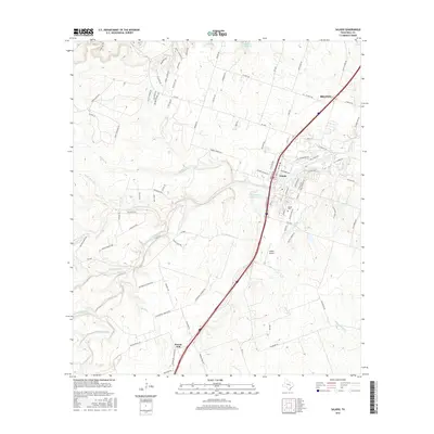 2016 Salado2016 Print · USGSCovers Salado, including Belton, Prairie Dell, and other nearby areas
 - 2019 Map of Salado, 2019 Print
 2019 Salado2019 Print · USGSCovers Salado, including Belton, Prairie Dell, and other nearby areas
 - 2022 Map of Salado, 2022 Print
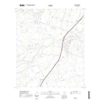
 2022 Salado2022 Print · USGSSalado and the surrounding Bell County countryside are captured here in the early twenty-first century as the area maintains its local heritage. Genealogists and researchers can trace family landmarks like the Hamblen-Aiken Cem, Salado Springs, and the community of Prairie Dell.
End of results
Showing maps 1-9 of 9
Top cities near Salado
- Killeen historical maps
- Temple historical maps
- Georgetown historical maps
- Harker Heights historical maps
- Belton historical maps
- Nolanville historical maps
See more
Frequently asked questions
- What are the different types of historical maps available for Salado?
- What is the oldest map of Salado?
- Where can I purchase historical maps of Salado for my home or office?
- Where can I download high-res historical maps of Salado?
- Are there historical topographic maps available for Salado?
- Is there historical aerial imagery available for Salado?
- Where are historical maps of Salado sourced from?