Old Maps of China Grove, Texas
Explore 19 old maps of China Grove, spanning from 1953 to today. These high-resolution historic maps reveal how streets, neighborhoods, landmarks, and natural features evolved over time — perfect for genealogy, metal detecting, research, and local history exploration.
What you can do with these maps:
- See how China Grove changed over time: Compare historical maps to modern-day views to trace roads, homesites, rail lines & more.
- View detailed metadata: Each map includes creators, publishers, year, scale, and archive source.
- Overlay maps with satellite & LiDAR: Visualize the past alongside modern tools to explore terrain & human change.
- Trusted historical sources: Maps sourced from the USGS, Library of Congress, and other archives.
- Access maps your way: View online, download high-res files, or order prints for personal or research use.
Start exploring old maps of China Grove to uncover forgotten places, hidden landmarks, and the deep history beneath your feet.
China Grove, TX maps
(19)- 1953 Map of Elmendorf, 1959 Print
 1953 Elmendorf1959 Print · USGSSoutheast of San Antonio in the early fifties, this area shows a landscape defined by the Southern Pacific rail line and active petroleum production. Genealogists can trace family names at the Cantu Cem and Flores Cem or locate the old Parita Ch.
 - 1953 Map of Martinez, 1959 Print
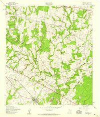
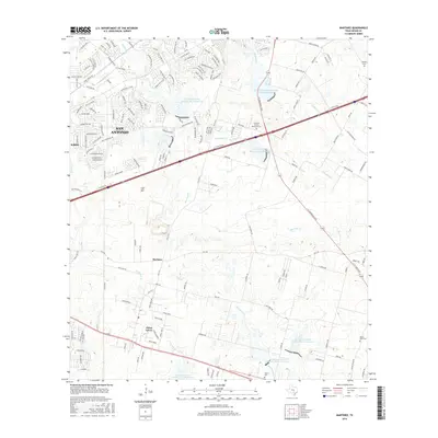
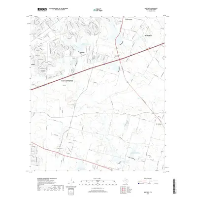
 1953 Martinez1959 Print · USGSEastern Bexar County at the dawn of the fifties shows a landscape shaped by historical trails and strategic military aviation. Researchers can trace the development of China Grove and Martinez or locate the Martindale National Guard Airfield.
 - 1954 Map of San Antonio, 1964 Print
 1954 San Antonio1964 Print · USGSSan Antonio and the Texas Hill Country are captured here in the mid-fifties, showing a landscape defined by massive military air bases and the rising Canyon Reservoir. Trace family ties through historic rail towns like D'Hanis and Castroville or explore the Cold War footprint of Lackland AFB and Randolph AFB.3 unique versions available
 - 1957 Map of San Antonio
 1957 San Antonio1957 Print · USGSSan Antonio and the Texas Hill Country are shown here during the mid-fifties, capturing the region's expanding post-war military and transportation footprint. Genealogists and local historians can trace the early residential boundaries of Alamo Heights or locate rural landmarks like St Hedwig and Medina Lake.
 - 1967 Map of Elmendorf, 1969 Print
 1967 Elmendorf1969 Print · USGSSoutheast of San Antonio in the late sixties, this survey captures a landscape defined by the new reservoirs and rural family settlements. Researchers can trace local heritage at San Lorenzo Cem, the Parita Ch, and the Eckert Oil Field.2 unique versions available
 - 1967 Map of Martinez, 1969 Print
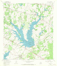
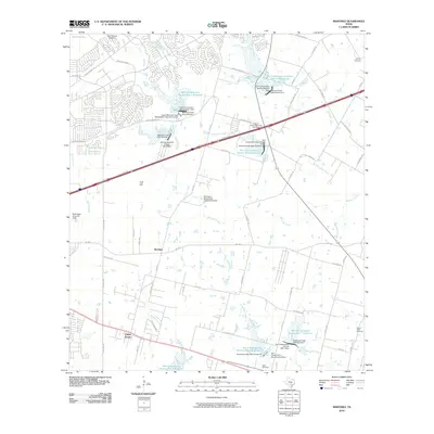
 1967 Martinez1969 Print · USGSBexar County in the late sixties shows a landscape of steady rural growth and evolving water management projects. Researchers can trace family history through numerous landmarks like St Jerome Ch, Mount Olive Cem, and the community of China Grove.2 unique versions available
 - 1985 Map of San Antonio
 1985 San Antonio1985 Print · USGSSan Antonio and its surrounding hill country are captured in the mid-eighties during a period of significant suburban and military expansion. Genealogists and historians can trace the footprint of Kelly Air Force Base, old rail lines like the Missouri-Kansas-Texas, and smaller communities like Saspamco or Zuehl.3 unique versions available
 - 1992 Map of Martinez
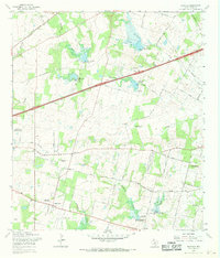
 1992 Martinez1992 Print · USGSBexar County's eastern landscape is shown in the early nineties as suburban expansion met established rural settlements. Family historians can trace roots through the St Jerome Ch and Salem Cem, or locate the Martindale Army Airfield.
 - 1992 Map of Elmendorf, 1993 Print
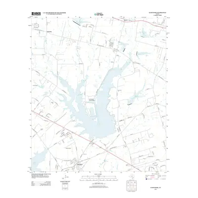
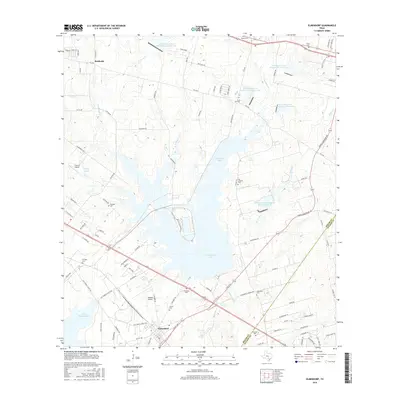
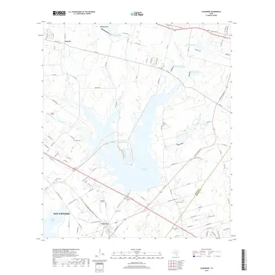
 1992 Elmendorf1993 Print · USGSSoutheast of San Antonio in the early nineties, this area shows the intersection of major energy infrastructure and old Texas settlements. Genealogists can locate family sites like Delgado Cem and Flores Cem near the banks of Calaveras Lake.
 - 2010 Map of Elmendorf, 2010 Print
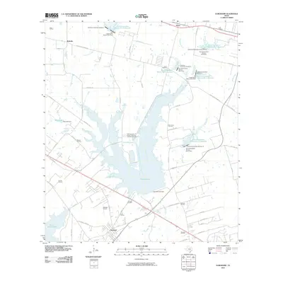 2010 Elmendorf2010 Print · USGSCovers China Grove, including San Antonio, Elmendorf, and other nearby areas
 - 2010 Map of Martinez, 2010 Print
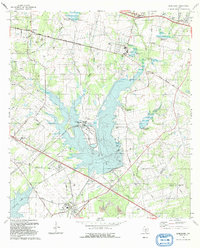
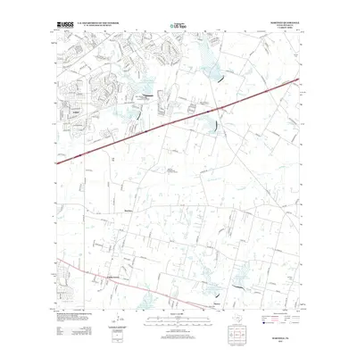
 2010 Martinez2010 Print · USGSCovers China Grove, including San Antonio, Schertz, and other nearby areas
 - 2013 Map of Elmendorf, 2013 Print
 2013 Elmendorf2013 Print · USGSCovers China Grove, including San Antonio, Elmendorf, and other nearby areas
 - 2013 Map of Martinez, 2013 Print
 2013 Martinez2013 Print · USGSCovers China Grove, including San Antonio, Schertz, and other nearby areas
 - 2016 Map of Martinez, 2016 Print
 2016 Martinez2016 Print · USGSCovers China Grove, including San Antonio, Schertz, and other nearby areas
 - 2016 Map of Elmendorf, 2016 Print
 2016 Elmendorf2016 Print · USGSCovers China Grove, including San Antonio, Elmendorf, and other nearby areas
 - 2019 Map of Elmendorf, 2019 Print
 2019 Elmendorf2019 Print · USGSCovers China Grove, including San Antonio, Elmendorf, and other nearby areas
 - 2019 Map of Martinez, 2019 Print
 2019 Martinez2019 Print · USGSCovers China Grove, including San Antonio, Schertz, and other nearby areas
 - 2022 Map of Martinez, 2022 Print
 2022 Martinez2022 Print · USGSEastern Bexar County near the start of the 2020s shows the meeting of suburban San Antonio and rural Texas tradition. Researchers can locate numerous family-named burial sites including Lieck Family Cem and Real Family Cem near the banks of Martinez Cr.
 - 2022 Map of Elmendorf, 2022 Print
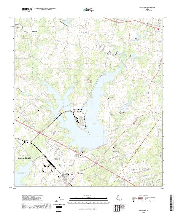 2022 Elmendorf2022 Print · USGSSoutheast of San Antonio in the 2020s, this area of Bexar County shows a unique landscape of modern reservoirs and deep-rooted family history. Researchers can trace dozens of local burial sites like Cementerio Santa Isabel, Hobrecht Family Cem, and Elmendorf City Cem.
End of results
Showing maps 1-19 of 19
Top cities near China Grove
- San Antonio historical maps
- Schertz historical maps
- Floresville historical maps
- Universal City historical maps
- Converse historical maps
- Live Oak historical maps
See more
Frequently asked questions
- What are the different types of historical maps available for China Grove?
- What is the oldest map of China Grove?
- Where can I purchase historical maps of China Grove for my home or office?
- Where can I download high-res historical maps of China Grove?
- Are there historical topographic maps available for China Grove?
- Is there historical aerial imagery available for China Grove?
- Where are historical maps of China Grove sourced from?