Old Maps of Floresville, Texas
Explore 16 old maps of Floresville, spanning from 1936 to today. These high-resolution historic maps reveal how streets, neighborhoods, landmarks, and natural features evolved over time — perfect for genealogy, metal detecting, research, and local history exploration.
What you can do with these maps:
- See how Floresville changed over time: Compare historical maps to modern-day views to trace roads, homesites, rail lines & more.
- View detailed metadata: Each map includes creators, publishers, year, scale, and archive source.
- Overlay maps with satellite & LiDAR: Visualize the past alongside modern tools to explore terrain & human change.
- Trusted historical sources: Maps sourced from the USGS, Library of Congress, and other archives.
- Access maps your way: View online, download high-res files, or order prints for personal or research use.
Start exploring old maps of Floresville to uncover forgotten places, hidden landmarks, and the deep history beneath your feet.
Floresville, TX maps
(16)- 1936 Map of Floresville, 1958 Print
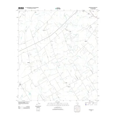
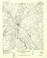 1936 Floresville1958 Print · USGSWilson County was a landscape of independent ranches and river-bend missions in the mid-1930s. Genealogists can locate family landmarks like Dewees Ranch, rural schoolhouses such as Green School, and the historic site of Mission de las Cabras.
 - 1954 Map of San Antonio, 1964 Print
 1954 San Antonio1964 Print · USGSSan Antonio and the Texas Hill Country are captured here in the mid-fifties, showing a landscape defined by massive military air bases and the rising Canyon Reservoir. Trace family ties through historic rail towns like D'Hanis and Castroville or explore the Cold War footprint of Lackland AFB and Randolph AFB.3 unique versions available
 - 1957 Map of San Antonio
 1957 San Antonio1957 Print · USGSSan Antonio and the Texas Hill Country are shown here during the mid-fifties, capturing the region's expanding post-war military and transportation footprint. Genealogists and local historians can trace the early residential boundaries of Alamo Heights or locate rural landmarks like St Hedwig and Medina Lake.
 - 1961 Map of Dewees, 1963 Print
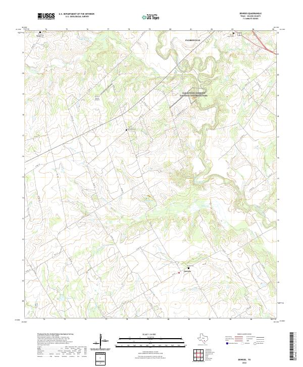
 1961 Dewees1963 Print · USGSThe ranching country of Wilson County is captured here in the early sixties, showing the San Antonio River valley before modern development. Genealogists can trace family landmarks like Dewees Ranch, Loma Vista, and the Sacred Heart Cem.2 unique versions available
 - 1961 Map of Floresville, 1963 Print
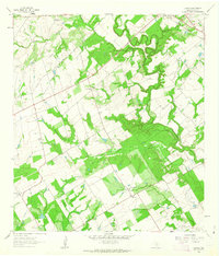
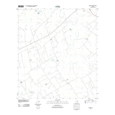
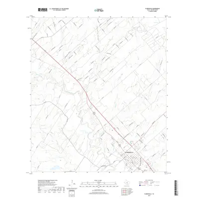
 1961 Floresville1963 Print · USGSThe Wilson County seat and its surrounding river valley are captured here in the early sixties as the local economy balanced rail commerce with oil exploration. Genealogists and historians can locate the Casa Blanca Historical Marker, the old Lodi Sch, and the winding course of Kiester Creek.2 unique versions available
 - 1985 Map of San Antonio
 1985 San Antonio1985 Print · USGSSan Antonio and its surrounding hill country are captured in the mid-eighties during a period of significant suburban and military expansion. Genealogists and historians can trace the footprint of Kelly Air Force Base, old rail lines like the Missouri-Kansas-Texas, and smaller communities like Saspamco or Zuehl.3 unique versions available
 - 2010 Map of Floresville, 2010 Print
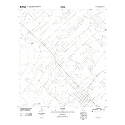 2010 Floresville2010 Print · USGSCovers Floresville, including Wilson County, United States, and other nearby areas
 - 2010 Map of Dewees, 2010 Print
 2010 Dewees2010 Print · USGSCovers Floresville, including Dewees, Darilek, and other nearby areas
 - 2013 Map of Floresville, 2013 Print
 2013 Floresville2013 Print · USGSCovers Floresville, including Wilson County, United States, and other nearby areas
 - 2013 Map of Dewees, 2013 Print
 2013 Dewees2013 Print · USGSCovers Floresville, including Dewees, Darilek, and other nearby areas
 - 2016 Map of Dewees, 2016 Print
 2016 Dewees2016 Print · USGSCovers Floresville, including Dewees, Darilek, and other nearby areas
 - 2016 Map of Floresville, 2016 Print
 2016 Floresville2016 Print · USGSCovers Floresville, including Wilson County, United States, and other nearby areas
 - 2019 Map of Dewees, 2019 Print
 2019 Dewees2019 Print · USGSCovers Floresville, including Dewees, Darilek, and other nearby areas
 - 2019 Map of Floresville, 2019 Print
 2019 Floresville2019 Print · USGSCovers Floresville, including Wilson County, United States, and other nearby areas
 - 2022 Map of Dewees, 2022 Print
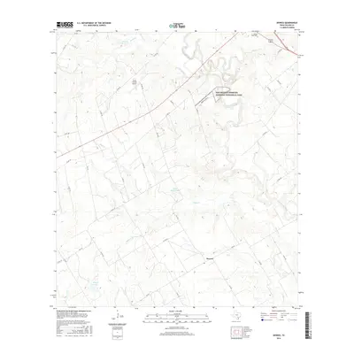
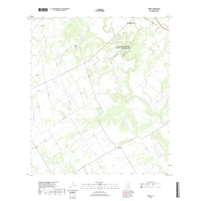
 2022 Dewees2022 Print · USGSWilson County’s rural landscape south of Floresville is mapped here in the early 2020s, showing the intersection of ranching land and historical preservation. Genealogists can locate family burial sites at Dewees Cem and Evergreen Cem near the banks of the San Antonio River.
 - 2022 Map of Floresville, 2022 Print
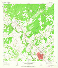
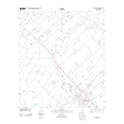
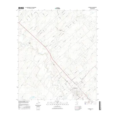
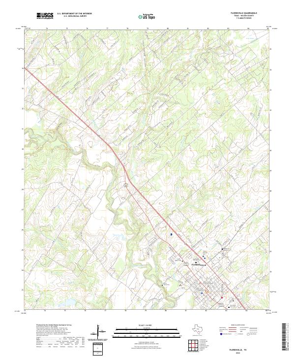 2022 Floresville2022 Print · USGSFloresville and the Wilson County heartland are captured here in the early twenty-first century as the area balances its riverfront roots with modern growth. Genealogists can trace family heritage through local landmarks like the Canary Islanders Cem and the Wilson County Courthouse.
End of results
Showing maps 1-16 of 16
Top cities near Floresville
- San Antonio historical maps
- Poth historical maps
- Saint Hedwig historical maps
- Elmendorf historical maps
- Stockdale historical maps
- La Vernia historical maps
See more
Frequently asked questions
- What are the different types of historical maps available for Floresville?
- What is the oldest map of Floresville?
- Where can I purchase historical maps of Floresville for my home or office?
- Where can I download high-res historical maps of Floresville?
- Are there historical topographic maps available for Floresville?
- Is there historical aerial imagery available for Floresville?
- Where are historical maps of Floresville sourced from?