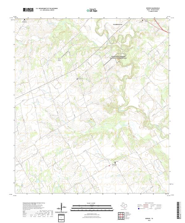
2022 Map of Dewees
USGS Topo · Published 2022About this map
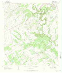
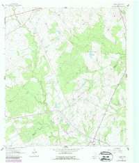
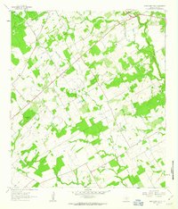
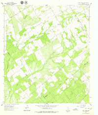
The San Antonio River winds through the northern portion of this South Texas landscape, carving a fertile valley south of Floresville. This area is defined by its ranching heritage and rural cemetery network, including Dewees Cem, Evergreen Cem, and the Picosa Martinez Cem Number Two, which serve as vital markers for family historians in Wilson County. A significant portion of the riverfront is protected within the San Antonio Missions National Historical Park, preserving the historical corridor near the settlement of Dewees.
Find a feature on this map
45 named features on this map. Tap any name to fly to it.
Don’t see what you’re looking for? This feature index may not catch every label — zoom into the map to look around manually.
Map Details
Editions of this 2022 Dewees Map
This is the sole edition of this map. No revisions or reprints were ever made.
Historical Maps of Floresville Through Time
17 maps found
1958 La Vernia SW
Wilson County, TX
1958 Saspamco
Wilson County, TX
1961 Alum
Wilson County, TX
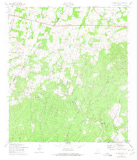
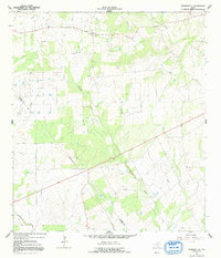
1961 Dewees
Wilson County, TX
1961 Gillett
Wilson County, TX
1961 Marcelinas Hills
Wilson County, TX
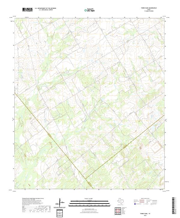
1961 Three Oaks
Wilson County, TX
1964 Saspamco SE
Wilson County, TX
1992 La Vernia SW
Wilson County, TX
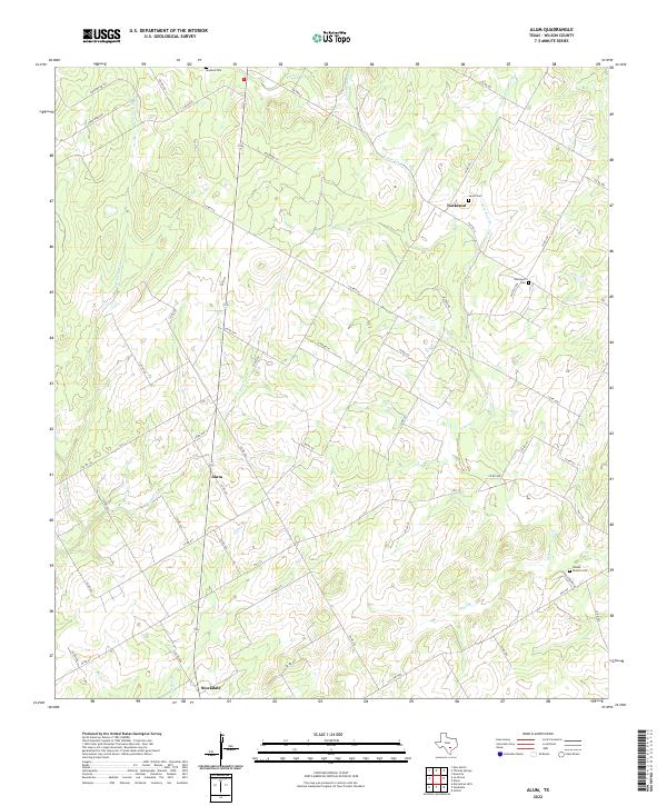
2022 Alum
Wilson County, TX
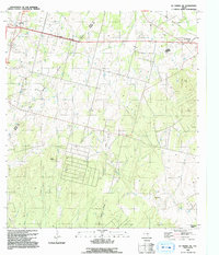
2022 Dewees
Wilson County, TX
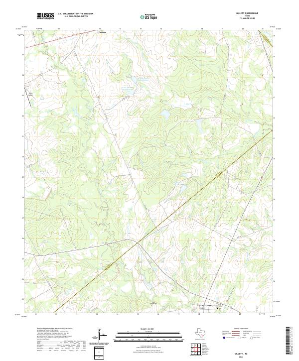
2022 Gillett
Wilson County, TX
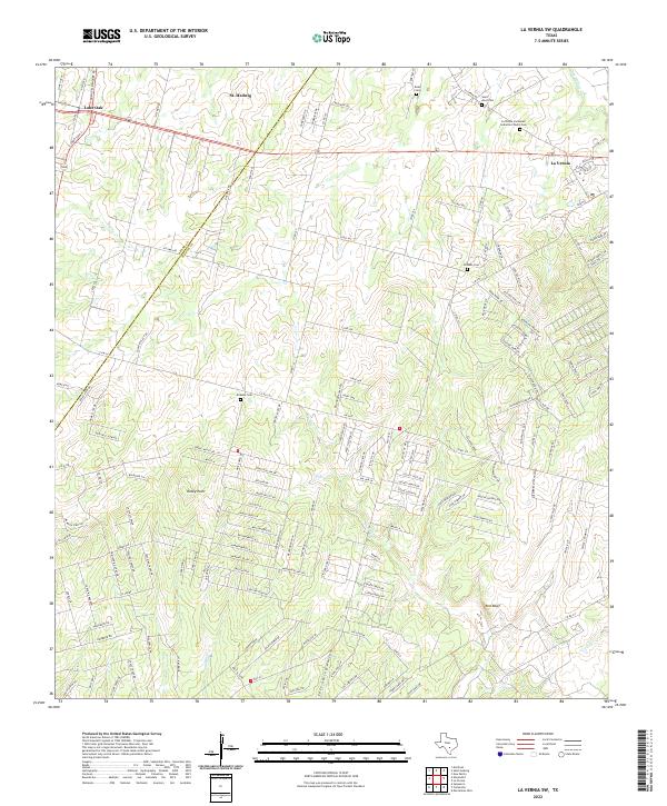
2022 La Vernia SW
Wilson County, TX
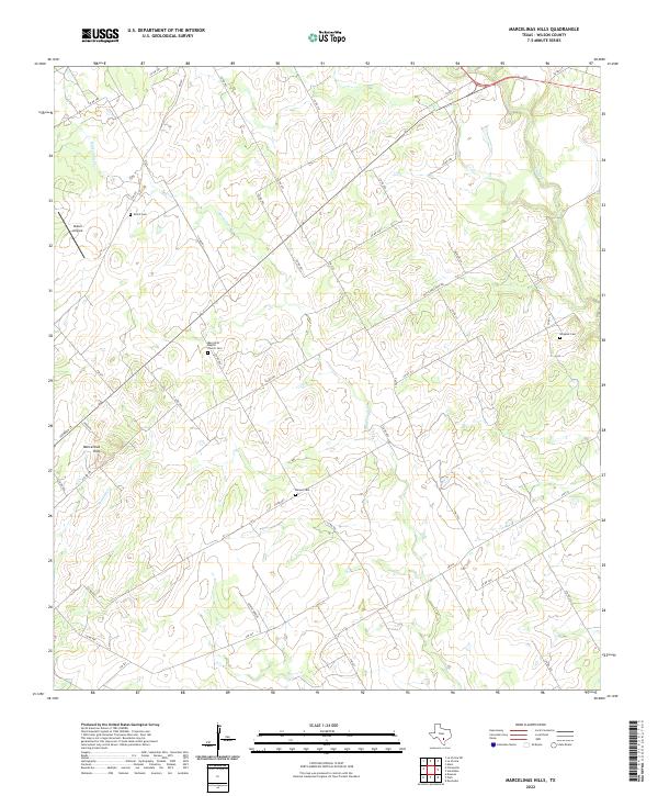
2022 Marcelinas Hills
Wilson County, TX
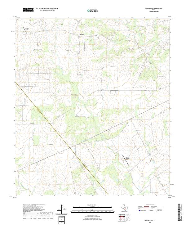
2022 Saspamco SE
Wilson County, TX
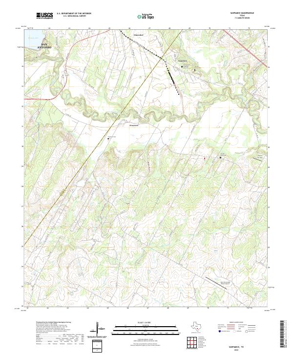
2022 Saspamco
Wilson County, TX
2022 Three Oaks
Wilson County, TX