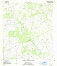
1964 Map of Saspamco SE
USGS Topo · Published 1992About this map
Fairview anchors the northern portion of this South Texas landscape, where the agricultural and industrial patterns of the mid-1960s are clearly etched. The terrain is defined by a dendritic network of drainages including Picosa Creek, Borrego Creek, and Prieto Creek, which segment the rolling plains. The presence of numerous Oil Wells and a scattering of Gravel Pits underscores the extractive economy that shaped this region's development during the post-war era. Genealogists will find the location of the Fairview Cem particularly useful for tracing local family histories. The southwest corner is marked by the Wilson Co Atascosa Co line, showing the administrative divide through a countryside primarily used for ranching and resource extraction.
Find a feature on this map
11 named features on this map. Tap any name to fly to it.
Don’t see what you’re looking for? This feature index may not catch every label — zoom into the map to look around manually.
Map Details
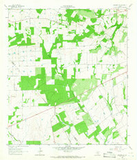
Editions of this 1964 Saspamco SE Map
2 editions found
Other maps of this area

1931 · Falls City
USGS Topo · 1:62,500

1936 · Floresville
USGS Topo · 1:62,500

1953 · Crystal City
USGS Topo · 1:250,000

1954 · San Antonio
USGS Topo · 1:250,000

1955 · Crystal City
USGS Topo · 1:250,000

1956 · Pleasanton
USGS Topo · 1:62,500

1957 · San Antonio
USGS Topo · 1:250,000

1958 · Losoya
USGS Topo · 1:24,000

1958 · Saspamco
USGS Topo · 1:24,000

1961 · Crystal City
USGS Topo · 1:250,000