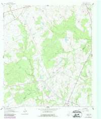
1961 Map of Gillett
USGS Topo · Published 1987About this map
Gillett and Pandora anchor this rural landscape where Wilson, Karnes, and Gonzales counties converge. The region is defined by the winding course of Ecleto Creek and Elm Creek, which carve through the undulating terrain south of the Manford Gas Field. This 1961 record preserves the mid-century industrial and agricultural footprint, showing various gas and water infrastructure including a Flowing Well and the Weinert Reservoir. Local landmarks such as El Negro Ranch and a small Cem near the Gillett townsite provide specific points of interest for genealogists and local historians. The presence of a Roadside Park along the highway and the Indefinite Boundary line reflect the shifting jurisdictional and recreational layers of the Texas countryside during this period of development.
Find a feature on this map
19 named features on this map. Tap any name to fly to it.
Don’t see what you’re looking for? This feature index may not catch every label — zoom into the map to look around manually.
Map Details
Editions of this 1961 Gillett Map
Other maps of this area

1920 · Smiley
USGS Topo · 1:125,000

1942 · Dewville
USGS Topo · 1:62,500

1953 · Seguin
USGS Topo · 1:250,000

1956 · Dewville
USGS Topo · 1:62,500

1958 · Seguin
USGS Topo · 1:250,000

1960 · Kosciusko
USGS Topo · 1:24,000

1961 · Nixon
USGS Topo · 1:24,000
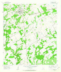
1961 · Stockdale
USGS Topo · 1:24,000
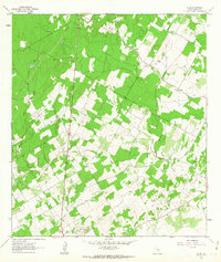
1961 · Alum
USGS Topo · 1:24,000

1961 · Gillett
USGS Topo · 1:24,000